Search results

Map

Choose map: | | Download Centroids / Boundaries / Map (pdf)
Materials presented on this website, particularly maps and territorial information, are as-is and as-available based on available data and do not imply the expression of any opinion whatsoever on the part of the Secretariat of the Ramsar Convention concerning the legal status of any country, territory, city or area, or of its authorities, or concerning the delimitation of its frontiers or boundaries.

List

  1. peatbog in the Tatra National Park

    Peat bogs in the Tatra National Park

    • Country: 
      Poland
    • Designation date: 
      11-12-2017
    • Site number: 
      2341
    • Published since: 
      5 year(s)
    741 ha
  2. Reserva Natural Villavicencio
    Reserva Natural Villavicencio
    Reserva Natural Villavicencio
    Reserva Natural Villavicencio

    Reserva Natural Villavicencio

    • Country: 
      Argentina
    • Designation date: 
      27-12-2017
    • Site number: 
      2330
    • Published since: 
      6 year(s)
    62,244 ha
  3. Tri des propagules de Rhizophara mangle
    Séance de formation et de sensibilisation sur la technique de reboisement
    Sortie pédagogique des élèves du Lycée de Palmarin Facao et les amas coquilliers dans la RNCP
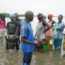
    Lutte contre l'érosion côtière avec la participation des communautés
    Potentialités et opportunités ecotouristiques de la RNCP
    Biens tirés de la RNCP
    Biens fournis par la RNCP
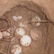
    Suivi des nids de tortues marines dans la RNCP
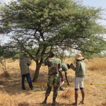
    Inventaire de la flore de la RNCP effectué par les agents et les écoguides écogardes
    Diversité aviaire de la RNCP
    L'exploitation du sel, une activité bien féminine
    L'ostréiculture une activité génératrice de revenus et conservatrice de la mangrove
    La pose des guirlandes ostréicoles, l'apanage des femmes.
    Palmarin, un paysage bien humide

    Réserve Naturelle Communautaire de Palmarin

    • Country: 
      Senegal
    • Designation date: 
      01-09-2017
    • Site number: 
      2328
    • Published since: 
      6 year(s)
    10,430 ha
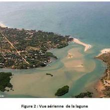
  4. photo aerienne de la reserve de somone
    photo de la reserve
    reboisement avicennia africana
    reboisement avicennia africana
    reboisement avicennia africana
    reboisement avicennia africana
    reboisement avicennia africana
    reboisement avicennia africana
    reboisement avicennia africana
    vue aerienne

    Réserve Naturelle d'Intérêt Communautaire de la Somone

    • Country: 
      Senegal
    • Designation date: 
      01-09-2017
    • Site number: 
      2327
    • Published since: 
      6 year(s)
    700 ha
  5. Mangroves d'Antrema
    `Succession de mangroves
    Marécages raphières
    Lac Sahariake
    Site de restauration de mangroves
    Graines de Rhizophora mucronata
    Fruits de Bruguiera gymnorrhiza
    Threskiornis bernieri
    Platalea alba
    Charadrius marginatus
    Haliaeetus vociferoides
    Propithecus coronatus
    Eulemur fulvus
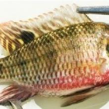
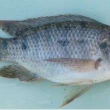
    Tilapia zilii
    Tilapia rendalli
    Pratilapia polleni
    Oreochromis mossambicus

    Site Bioculturel d'Antrema

    • Country: 
      Madagascar
    • Designation date: 
      02-02-2017
    • Site number: 
      2286
    • Published since: 
      7 year(s)
    20,620 ha
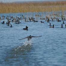
  6. Capybaras
    Swan
    American coot

    Taim Ecological Station

    • Country: 
      Brazil
    • Designation date: 
      22-03-2017
    • Site number: 
      2298
    • Published since: 
      6 year(s)
    10,939 ha
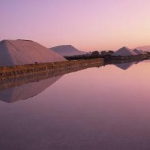
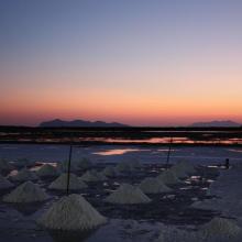
  7. Sunrise at the Salt ponds of Trapani and Paceco (Salina Salinella)
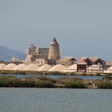
    Sunset (Salina Chiusa),on the left, the old tower of Nubia and the Egadi island on the background
    Marsh and salt ponds  area at the Salt ponds (near Salina Salinella)
    Pile of Salt harvested and left on the leeves of the salt ponds (Salina Calcara)
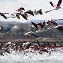
    A flock of Flamingos (Phoenicopterus ruber), an old mill on the background and Favignana Island
    A flock of Flamingos (Phoenicopterus ruber)
    Cynomorium coccineum on Stagnone di Marsala Islands (Isola Grande)
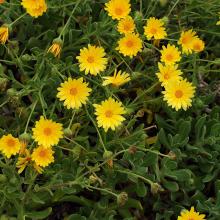
    Calendula incana subsp.  maritima on Stagnone di Marsala Islands (Isola Grande)
    Myriolimon ferulaceum on Stagnone di Marsala Islands (Isola Grande)
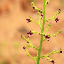
    Scrophularia frutescens on Stagnone di Marsala Islands (Isola Grande)
    Limonium hyblaeum on Stagnone di Marsala Islands (Isola Grande)

    Trapani and Paceco salt ponds

    • Country: 
      Italy
    • Designation date: 
      19-10-2017
    • Site number: 
      2329
    • Published since: 
      6 year(s)
    971 ha
  8. Van Long Wetland Nature Reserve

    Van Long Wetland Nature Reserve

    • Country: 
      Viet Nam
    • Designation date: 
      10-02-2017
    • Site number: 
      2360
    • Published since: 
      5 year(s)
    2,736 ha
  9. Virua
    Virua
    Caracarai, Virua
    Virua

    Viruá National Park

    • Country: 
      Brazil
    • Designation date: 
      22-03-2017
    • Site number: 
      2295
    • Published since: 
      6 year(s)
    216,427 ha
  10. Photo 2 : Pratique de la pêche sur le Site
    Photo 3 : Entrée du campement de chasse  express Safari du Sourou
    Photo 4 : Valorisation artistique du bois mort dans le campement de chasse
    Photo 5 : Valorisation artistique du bois mort dans le campement de chass
    Photo 6 : La pêche sur pirogue sur le Mouhoun
    Photo 7 : Présence de Khaya senegalensis sur le site
    Photo 1 : Vannes de Léry
    Photo 8 : Infrastructure d'accueil de la concession de chasse Safari Express du Sourou
    Photo 9 : Prise de poisson dans la zone de confluence Mouhoun-Sourou
    Photo 11 : On peut apercevoir un hippopotame se baignant sous le pont de Léry
    Photo 10 : Entrée principale de la concession de chasse Safari Sourou Express
    Photo 12 : Bungalow aménagé pour les touristiques
    Photo13 : Activité de pêche florissante pour les communautés riveraines
    Photo 14 : Panneau de signalisation du cours d'eau principal

    Zone de confluence Mouhoun-Sourou

    • Country: 
      Burkina Faso
    • Designation date: 
      02-02-2017
    • Site number: 
      2292
    • Published since: 
      7 year(s)
    23,300 ha

Pages

Stats


Exports

Export Sites information

For a summary list of all the Ramsar Sites in pdf format, click here.

Generate reports of selected Sites

You can generate a report based on the filters you have applied, in either pdf or xls format. The report will sort the results by the Site name, unless you have sorted them by another variable.

For the pdfs, you can choose whether to include the introductory text on each Site, or just show the key data in a shorter report.

To receive a report, please provide your email address and enter the text in the verification picture into the textbox.

As soon as the list has been generated an e-mail will be sent to you with the link to access the file.