Search results

Map

Choose map: | | Download Centroids / Boundaries / Map (pdf)
Materials presented on this website, particularly maps and territorial information, are as-is and as-available based on available data and do not imply the expression of any opinion whatsoever on the part of the Secretariat of the Ramsar Convention concerning the legal status of any country, territory, city or area, or of its authorities, or concerning the delimitation of its frontiers or boundaries.

List

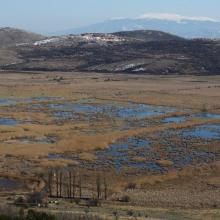
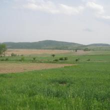
  1. Western part of the wetland with Chepan Mountain in the background.
    Dragoman marsh - Aldrovanda versiculosa monitoring - The Turtle, Birds and Plants in Western Bulgaria Project BG03.SGS-18, funded under the BG03 Program of the European Economic Area Financial Mechanism 2009-2014
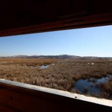
    From the bird watcherover.
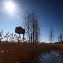
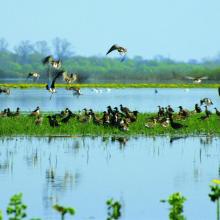
    A bird watchover in Dragoman marsh.
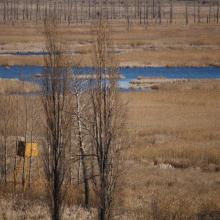
    Dragoman marsh.
    Dragoman marsh.
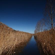
    Dragoman marsh
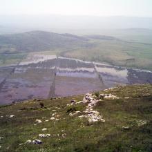
    Dragoman marsh, View from Chepan Mountain

    Dragoman Marsh Karst Complex

    • Country: 
      Bulgaria
    • Designation date: 
      11-02-2011
    • Site number: 
      1970
    • Published since: 
      4 year(s)
    14,941 ha
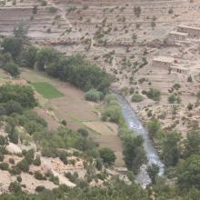
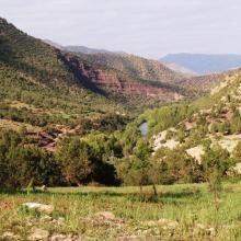
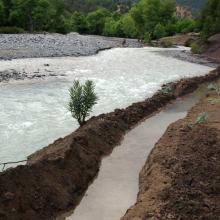
  2. Vallée aux versants boisés de l'Ahançal dans son bas cours
    Valeurs culturelles : gravures rupestres sur roche
    Valeurs culturelles : Grenier ancestral, suspendu dans une falaise
    Un des rares endroits où la vallée de l'Ahançal est ouverte : Tamga
    Usages : seguia de dérivation artisanale de l'eau
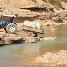
    Usages : Prélèvement d'eau pour usage domestique
    Singe magot dans son habitat, sur un versant de rive droite du bas oued Melloul

    Assifs Ahançal-Melloul

    • Country: 
      Morocco
    • Designation date: 
      22-05-2019
    • Site number: 
      2378
    • Published since: 
      4 year(s)
    1,385 ha
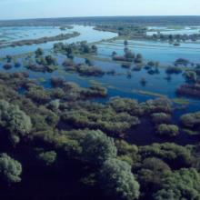
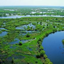
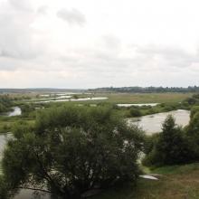
  3. The floodplain of the Dnieper River in Spring

    Dnieper River Floodplain

    • Country: 
      Belarus
    • Designation date: 
      29-05-2014
    • Site number: 
      2244
    • Published since: 
      8 year(s)
    29,353 ha
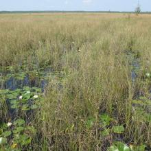
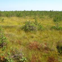
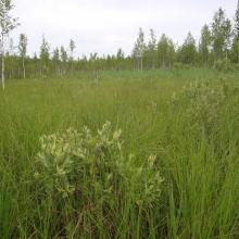
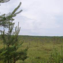
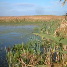
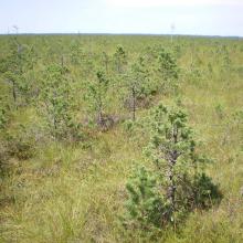
  4. sedge fen mire partially overgrown with shrubs

    Dikoe Fen Mire

    • Country: 
      Belarus
    • Designation date: 
      30-03-2015
    • Site number: 
      2263
    • Published since: 
      8 year(s)
    23,145 ha
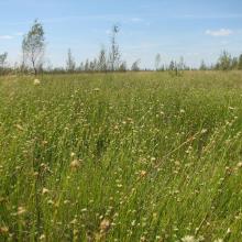
  5. Drozbitka-Svina site
    Drozbitka-Svina site
    Drozbitka-Svina site

    Drozbitka-Svina

    • Country: 
      Belarus
    • Designation date: 
      29-05-2014
    • Site number: 
      2261
    • Published since: 
      8 year(s)
    6,727 ha
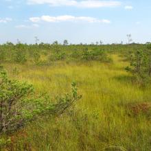
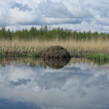
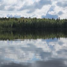
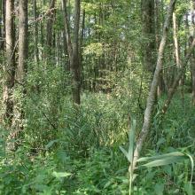
  6. Natural lakes are situated amidst forest and bogs.

    Golubickaya Puscha

    • Country: 
      Belarus
    • Designation date: 
      29-05-2014
    • Site number: 
      2266
    • Published since: 
      8 year(s)
    18,240 ha
  7. Gammelstadsviken nature reserve
    Gammelstadsvikens nature reserve
    Gammelstadsvikens nature reserve
    Gammelstadsvikens nature reserve
    Gammelstadsvikens nature reserve
    Gammelstadsvikens nature reserve
    Gammelstadsvikens nature reserve
    Gammelstadsvikens nature reserve, viewing point
    Gammelstadsvikens nature reserve

    Gammelstadsviken

    • Country: 
      Sweden
    • Designation date: 
      28-06-1974
    • Site number: 
      27
    • Published since: 
      7 year(s)
    440 ha
  8. Forest in the floodplain of the Iput River
    The floodplain of the Iput River
    Fen mires overgown with shrubs and combined with oxbow lakes in the floodplain of the Iput River

    Iput River Floodplain

    • Country: 
      Belarus
    • Designation date: 
      30-03-2015
    • Site number: 
      2262
    • Published since: 
      8 year(s)
    3,502 ha
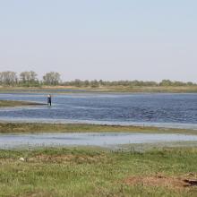
  9. Middle Pripyat is important stopover site during waterbirds migration
    Middle Pripyat
    Middle Pripyat

    Mid-Pripyat State Landscape Zakaznik

    • Country: 
      Belarus
    • Designation date: 
      10-08-2001
    • Site number: 
      1090
    • Published since: 
      7 year(s)
    93,062 ha
  10. Morochno Ramsar Site
    Morochno Ramsar Site
    Morochno Ramsar Site
    Morochno Ramsar Site
    Morochno Ramsar Site
    Morochno Ramsar Site

    Morochno

    • Country: 
      Belarus
    • Designation date: 
      07-09-2012
    • Site number: 
      2139
    • Published since: 
      6 year(s)
    6,444 ha

Pages

Stats


Exports

Export Sites information

For a summary list of all the Ramsar Sites in pdf format, click here.

Generate reports of selected Sites

You can generate a report based on the filters you have applied, in either pdf or xls format. The report will sort the results by the Site name, unless you have sorted them by another variable.

For the pdfs, you can choose whether to include the introductory text on each Site, or just show the key data in a shorter report.

To receive a report, please provide your email address and enter the text in the verification picture into the textbox.

As soon as the list has been generated an e-mail will be sent to you with the link to access the file.