Search results

Map

Choose map: | | Download Centroids / Boundaries / Map (pdf)
Materials presented on this website, particularly maps and territorial information, are as-is and as-available based on available data and do not imply the expression of any opinion whatsoever on the part of the Secretariat of the Ramsar Convention concerning the legal status of any country, territory, city or area, or of its authorities, or concerning the delimitation of its frontiers or boundaries.

List

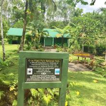
  1. O Le Pupū Puē National Park visitor center
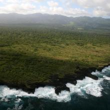
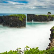
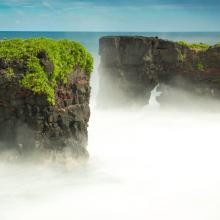
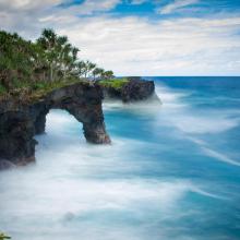
    O Le Pupū Puē National Park coastal area
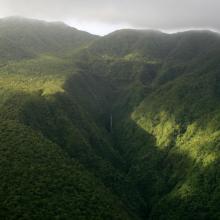
    Interior of O Le Pupū Puē National Park
    O Le Pupū Puē National Park coastal area
    O Le Pupū Puē National Park coastal area
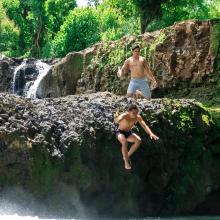
    Mataroa River of O Le Pupū Puē National Park
    O Le Pupū Puē National Park coastal area

    O Le Pupū Puē National Park

    • Country: 
      Samoa
    • Designation date: 
      02-02-2016
    • Site number: 
      2313
    • Published since: 
      6 year(s)
    5,019 ha
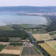
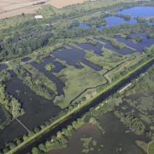
  2. La baie sur la rive orientale du lac de Neuchâtel avec le canal de la Broye, une partie du Chablais de Cudrefin (à gauche du canal) et le Fanel (à droit du canal) avec les zones humides et la lagune.
    La baie sur la rive orientale du lac de Neuchâtel avec les deux îles, la lagune, et les zones humides du Fanel, le canal de la Broye et une partie du Chablais de Cudrefin (à droit du canal) .

    Fanel et Chablais de Cudrefin

    • Country: 
      Switzerland
    • Designation date: 
      16-01-1976
    • Site number: 
      79
    • Published since: 
      7 year(s)
    1,155 ha
  3. Ramsar logo

    Kolleru Lake

    • Country: 
      India
    • Designation date: 
      19-08-2002
    • Site number: 
      1209
    • Published since: 
      21 year(s)
    90,100 ha
  4. lac khar
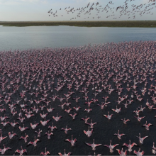
    grand lac (envol de flamants nains)
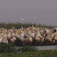
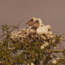
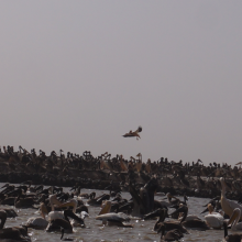
    pélicans en reproduction au djoudj
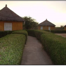
    campement écotouristique des communautés riveraines du parc
    crocodile du nil au bord du marigot du djoudj
    flamants roses en vol au dessus de la rivière Gorom
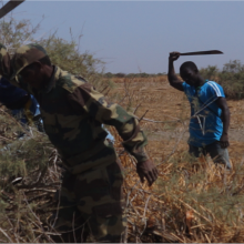
    activité d'aménagement par les agents du parc (signalétique)
    activité d'amenagement d'un lac par les volontaires écogardes du parc
    héronnière de la zone du crocodile (zone nord du parc)
    poussins de pelicans gris (canal du crocodile)
    image du canal du crocodile
    nichoir des pélicans
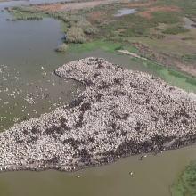
    vue aérienne du nichoir des pélicans
    python de Seba
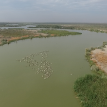
    vue aérienne du marigot du djoudj

    Parc National des Oiseaux du Djoudj

    • Country: 
      Senegal
    • Designation date: 
      11-07-1977
    • Site number: 
      138
    • Published since: 
      7 year(s)
    16,000 ha
  5. Mangroves in the Port Launay Coastal Wetlands (Port Glaud Wetlands).
    Anada Tiéga, Former Ramsar Secretary General at the Ramsar Site.
    Construction phase of the bridge through the wetlands I & II.

    Port Launay Coastal Wetlands

    • Country: 
      Seychelles
    • Designation date: 
      22-11-2004
    • Site number: 
      1432
    • Published since: 
      11 year(s)
    124 ha
  6. Ramsar logo

    Nylsvley Nature Reserve

    • Country: 
      South Africa
    • Designation date: 
      07-07-1998
    • Site number: 
      952
    • Published since: 
      25 year(s)
    3,970 ha
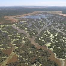
  7. Narran Lake from the air
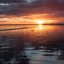
    Sunset and ripples over Narran Lake
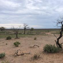
    Clear Lake, in dry state
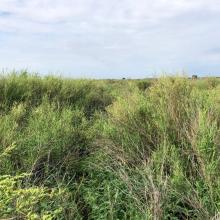
    Lignum at Long Arm, recovering after wetting by flows
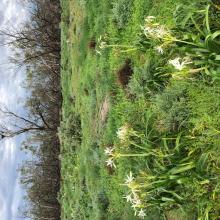
    Crinum Flacidum at Narran Lake, note sea eagle nest

    Narran Lake Nature Reserve

    • Country: 
      Australia
    • Designation date: 
      14-06-1999
    • Site number: 
      995
    • Published since: 
      1 year(s)
    8,447 ha
  8. Vallée de la Somme à l'aval d'Amiens
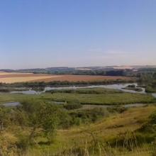
    Vallée de la Somme et canal entre Amiens et Abbeville
    Etangs de la Haute Somme depuis les hauteurs de Frise
    Belvédère de Frise au dessus des étangs de la Haute Somme
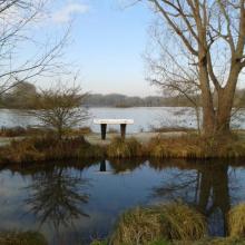
    Etangs et belvédère de Cléry/Somme

    Marais et tourbières des vallées de la Somme et de l’Avre

    • Country: 
      France
    • Designation date: 
      18-12-2017
    • Site number: 
      2322
    • Published since: 
      6 year(s)
    13,100 ha
  9. Dnipro-Oril Floodplains
    Dnipro-Oril Floodplains
    Dnipro-Oril Floodplains
    Dnipro-Oril Floodplains
    Dnipro-Oril Floodplains
    Dnipro-Oril Floodplains
    Dnipro-Oril Floodplains
    Dnipro-Oril Floodplains
    Dnipro-Oril Floodplains
    Dnipro-Oril Floodplains
    Dnipro-Oril Floodplains

    Dnipro-Oril Floodplains

    • Country: 
      Ukraine
    • Designation date: 
      17-11-2003
    • Site number: 
      1399
    • Published since: 
      2 year(s)
    2,560 ha
  10. Emergent Hydrophytes
    Fishing activity
    Greylag_Goose
    Inlet
    Interpretation center_for_nature education
    Islet
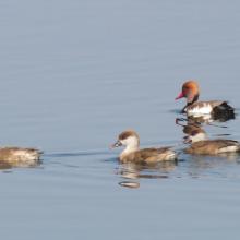
    Migrant Duck_Red-crested Pochard
    Open water habitat
    Outlet canal
    Rooted Hydrophyte_Nymphaea
    Submerged Hydrophyte_Ottelia
    Watch tower_for_birding

    Wadhvana Wetland

    • Country: 
      India
    • Designation date: 
      05-04-2021
    • Site number: 
      2454
    • Published since: 
      2 year(s)
    630 ha

Pages

Stats


Exports

Export Sites information

For a summary list of all the Ramsar Sites in pdf format, click here.

Generate reports of selected Sites

You can generate a report based on the filters you have applied, in either pdf or xls format. The report will sort the results by the Site name, unless you have sorted them by another variable.

For the pdfs, you can choose whether to include the introductory text on each Site, or just show the key data in a shorter report.

To receive a report, please provide your email address and enter the text in the verification picture into the textbox.

As soon as the list has been generated an e-mail will be sent to you with the link to access the file.