Search results

Map

Choose map: | | Download Centroids / Boundaries / Map (pdf)
Materials presented on this website, particularly maps and territorial information, are as-is and as-available based on available data and do not imply the expression of any opinion whatsoever on the part of the Secretariat of the Ramsar Convention concerning the legal status of any country, territory, city or area, or of its authorities, or concerning the delimitation of its frontiers or boundaries.

List

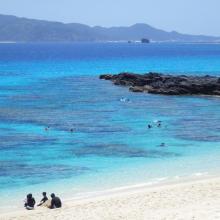
  1. 1. Overview of Furuzamami beach in Zamami Island
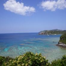
    2. Overview west coast of Aka Island
    3. Overview north coast of Geruma Island
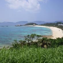
    4. Overview of Aharen beach in Tokashiki Island
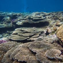
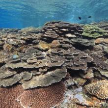
    5. Coral reef in Zamami Island
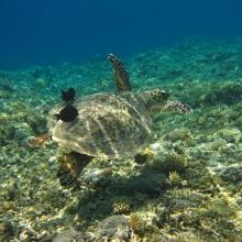
    6. Green turtle in Zamami Island
    7. Coral reef in Tokashiki islad
    8. Threadfin red bass in Zamami Island

    Keramashoto Coral Reef

    • Country: 
      Japan
    • Designation date: 
      08-11-2005
    • Site number: 
      1546
    • Published since: 
      8 year(s)
    8,290 ha
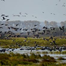
  2. Greylag goose
    Geese
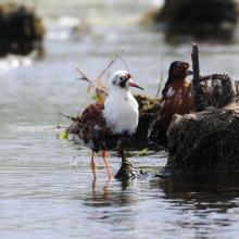
    Ruffs
    Northern lapwing
    Pool
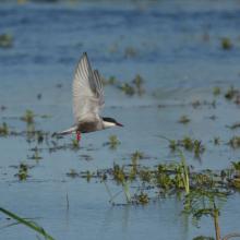
    Whiskered tern

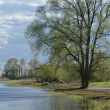
    Warta River Mouth National Park

    • Country: 
      Poland
    • Designation date: 
      03-01-1984
    • Site number: 
      282
    • Published since: 
      4 year(s)
    7,956 ha
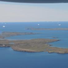
  3. The islands seen from east.
    Pond on the island Innersuatsiaq.
    Steep cliff at the island Angissat.
    Coastal lagoon at Basisø.
    Sandy beach on Niaqornaq.
    Arctic terns over Saatuuarsuit, the westernmost small islands.

    Kitsissunnguit

    • Country: 
      Denmark (Greenland)
    • Designation date: 
      27-01-1988
    • Site number: 
      384
    • Published since: 
      4 year(s)
    6,910 ha
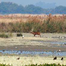
  4. Landscape shot of Haiderpur wetland
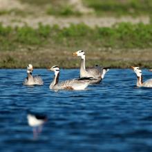
    Grey-lag goose in Haiderpur wetland
    Barheaded goose in Haiderpur
    Swamp deer in Haiderpur wetland
    Haiderpur Wetland
    Haiderpur wetland

    Haiderpur Wetland

    • Country: 
      India
    • Designation date: 
      13-04-2021
    • Site number: 
      2463
    • Published since: 
      2 year(s)
    6,908 ha
  5. -

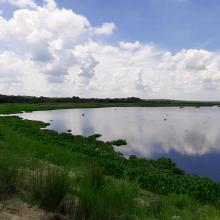
    Krammer-Volkerak

    • Country: 
      Netherlands (Kingdom of the)
    • Designation date: 
      04-09-1995
    • Site number: 
      747
    • Published since: 
      1 year(s)
    6,159 ha
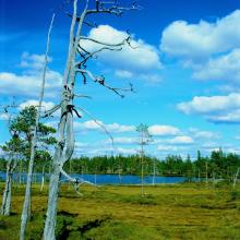
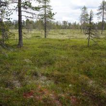
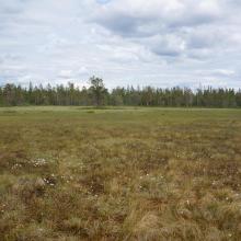
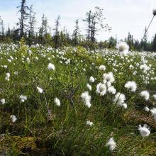
  6. A Nice day in the early summer in Kvisleflået
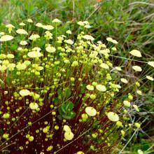
    Splachnum luteum, Yellow Moosedung Moss
    Dry pine With Wolf Lichen
    Bleketjønna
    Pair of Wooper Swans

    Kvisleflået

    • Country: 
      Norway
    • Designation date: 
      06-08-2002
    • Site number: 
      1193
    • Published since: 
      6 year(s)
    5,682 ha
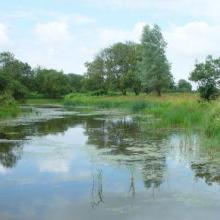
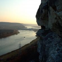
  7. Murafa River
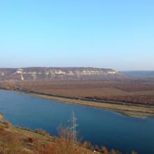
    Dniester River
    Dniester River
    Rosa canina L.
    Ardea cinerea near Murafa River
    Murafa River

    Liadova-Murafa

    • Country: 
      Ukraine
    • Designation date: 
      04-04-2019
    • Site number: 
      2387
    • Published since: 
      4 year(s)
    5,394 ha
  8. Brumundsjøen-Harasjømyra
    Brumundsjøen-Harasjømyra
    Endelausmyrene
    Endelausmyrene
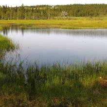
    One of the many tarns at Harasjømyrene
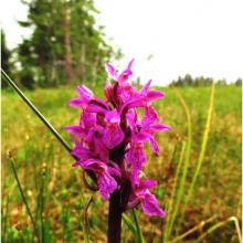
    Orchids grow in the wetlands at Hedmarksvidda. Here: The  early marsh-orchid found at Harasjømyrene
    View towards east at Målikjølen
    Reindeer from Rondane graze at Hedmarksvidda. Here: Parts of a doe herd in Harasjømyrene.

    Hedmarksvidda Wetland System

    • Country: 
      Norway
    • Designation date: 
      12-11-2010
    • Site number: 
      1951
    • Published since: 
      5 year(s)
    4,742 ha
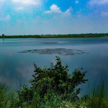
  9. ponds
    ponds

    Przemków Fish Ponds

    • Country: 
      Poland
    • Designation date: 
      09-04-2015
    • Site number: 
      2320
    • Published since: 
      6 year(s)
    4,605 ha
  10. http://www.icmbio.gov.br/portal/biodiversidade/unidades-de-conservacao/biomas-brasileiros/marinho/unidades-de-conservacao-marinho/2252-esec-de-guaraquecaba.html

    Guaraqueçaba Ecological Station

    • Country: 
      Brazil
    • Designation date: 
      05-06-2017
    • Site number: 
      2305
    • Published since: 
      6 year(s)
    4,370 ha

Pages

Stats


Exports

Export Sites information

For a summary list of all the Ramsar Sites in pdf format, click here.

Generate reports of selected Sites

You can generate a report based on the filters you have applied, in either pdf or xls format. The report will sort the results by the Site name, unless you have sorted them by another variable.

For the pdfs, you can choose whether to include the introductory text on each Site, or just show the key data in a shorter report.

To receive a report, please provide your email address and enter the text in the verification picture into the textbox.

As soon as the list has been generated an e-mail will be sent to you with the link to access the file.