Search results

Map

Choose map: | | Download Centroids / Boundaries / Map (pdf)
Materials presented on this website, particularly maps and territorial information, are as-is and as-available based on available data and do not imply the expression of any opinion whatsoever on the part of the Secretariat of the Ramsar Convention concerning the legal status of any country, territory, city or area, or of its authorities, or concerning the delimitation of its frontiers or boundaries.

List

  1. ICMBio
    ICMBio
    ICMBio
    Helder Lana
    ICMBio

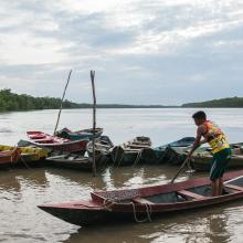
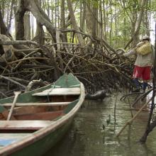
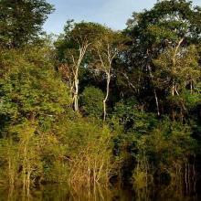
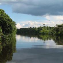
    Amazon Estuary and its Mangroves

    • Country: 
      Brazil
    • Designation date: 
      19-03-2018
    • Site number: 
      2337
    • Published since: 
      5 year(s)
    3,850,253 ha
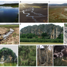
  2. A, B, C) Sumidouro Lake in diferent seasons, D) sinkholes of the Sumidouro Lake, E) Limestone massif of the Cerca Grande State Park and archaeological site, F) Canyon in the Baú Cave limestone, G) Flooded doline in Cerca Grande, H) Lush forest, I) trunk and roots of a dry forest tree. J) Lapa Vermel

    Lund Warming

    • Country: 
      Brazil
    • Designation date: 
      05-06-2017
    • Site number: 
      2306
    • Published since: 
      6 year(s)
    23,865 ha
  3. Ramsar logo

    Par.Est.Mar. do Parcel Manoel Luís incl. the Baixios do Mestre Álvaro and Tarol

    • Country: 
      Brazil
    • Designation date: 
      28-02-2000
    • Site number: 
      1021
    • Published since: 
      24 year(s)
    34,556 ha
  4. Baixada Maranhense
    Baixada Maranhense

    Baixada Maranhense Environmental Protection Area

    • Country: 
      Brazil
    • Designation date: 
      28-02-2000
    • Site number: 
      1020
    • Published since: 
      4 year(s)
    1,775,036 ha
  5. Fabio Chicuta
    Fabio Chicuta
    Fabio Chicuta
    Fabio Chicuta
    Fabio Chicuta

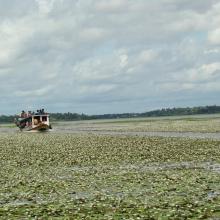
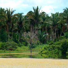
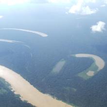
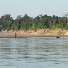
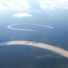
    Rio Juruá

    • Country: 
      Brazil
    • Designation date: 
      29-09-2018
    • Site number: 
      2362
    • Published since: 
      2 year(s)
    2,136,489 ha
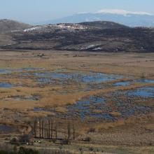
  6. Western part of the wetland with Chepan Mountain in the background.
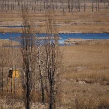
    Dragoman marsh - Aldrovanda versiculosa monitoring - The Turtle, Birds and Plants in Western Bulgaria Project BG03.SGS-18, funded under the BG03 Program of the European Economic Area Financial Mechanism 2009-2014
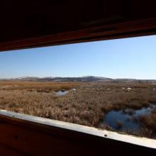
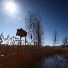
    From the bird watcherover.
    A bird watchover in Dragoman marsh.
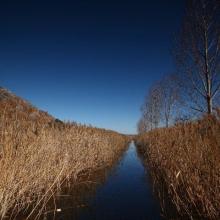
    Dragoman marsh.
    Dragoman marsh.
    Dragoman marsh
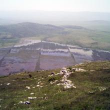
    Dragoman marsh, View from Chepan Mountain

    Dragoman Marsh Karst Complex

    • Country: 
      Bulgaria
    • Designation date: 
      11-02-2011
    • Site number: 
      1970
    • Published since: 
      4 year(s)
    14,941 ha
  7. yalgo
    yalgo
    yalgo
    yalgo
    yalgo
    yalgo
    yalgo

    Barrage de Yalgo

    • Country: 
      Burkina Faso
    • Designation date: 
      02-02-2016
    • Site number: 
      2258
    • Published since: 
      8 year(s)
    4,522 ha
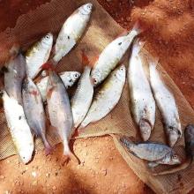
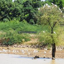
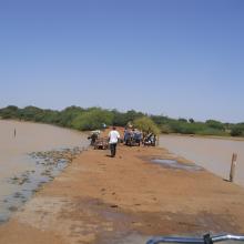
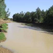
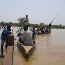
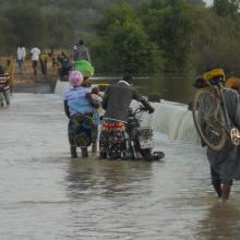
  8. prise de poisson
    Vue du barrage Ranzenga
    transport
    barrage
    traverse
    Man

    Bassin du Nakanbé-Mané

    • Country: 
      Burkina Faso
    • Designation date: 
      02-02-2016
    • Site number: 
      2254
    • Published since: 
      8 year(s)
    19,477 ha
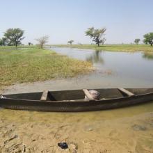
  9. Photo 1 : Plan d'eau de la vallée du Sourou
    Photo 2 : Engin de pêche aux abords du plan d'eau
    Photo 3 : Station de pompage d'eau pour le périmètre irrigué (2245 ha) aménagé dans le cadre du Millenium Challenge Account (MCA)
    Photo 4 : Un pêcheur en pleine prise de poisson
    Photo 7 : Étendue de spéculations maraîchères  dans le périmètre aménagé   dans le cadre du MCA
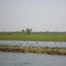
    Photo 6 : Richesse ornithologique du site de la vallée du Sourou
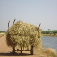
    Photo 5 : Récolte de la paille sur le site de la vallée du Sourou
    Photo 8 : Pêcheur solitaire sur  la rive droite de la vallée du Sourou
    Photo 9 : Étendue du périmètre aménagé

    La Vallée du Sourou

    • Country: 
      Burkina Faso
    • Designation date: 
      07-10-2009
    • Site number: 
      1885
    • Published since: 
      6 year(s)
    21,157 ha
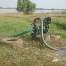
  10. Motopompes utilisées pour l'exode de l'eau
    Utilisation de motopompe dans la culture maraîchère
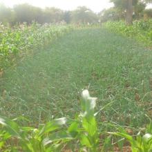
    Association de culture "maïs et oignon"
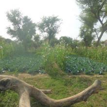
    Planche de choux
    association de culture "Choux et maïs"
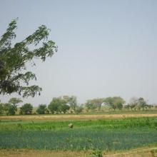
    Vue des parcelles de culture
    Vue du Lac Bam
    Des pieds de Acacia albida dans le lit du la Bam
    Parc agroforestier à Acacia albida, une espèce bénéficiant de mesures de protection particulière au Burkina Faso
    Relique de la végétation de la bande de servitude
    Enclos de pisciculture dans le lac
    Bassin de pisciculture

    Lac Bam

    • Country: 
      Burkina Faso
    • Designation date: 
      07-10-2009
    • Site number: 
      1880
    • Published since: 
      7 year(s)
    5,300 ha

Pages

Stats


Exports

Export Sites information

For a summary list of all the Ramsar Sites in pdf format, click here.

Generate reports of selected Sites

You can generate a report based on the filters you have applied, in either pdf or xls format. The report will sort the results by the Site name, unless you have sorted them by another variable.

For the pdfs, you can choose whether to include the introductory text on each Site, or just show the key data in a shorter report.

To receive a report, please provide your email address and enter the text in the verification picture into the textbox.

As soon as the list has been generated an e-mail will be sent to you with the link to access the file.