Search results

Map

Choose map: | | Download Centroids / Boundaries / Map (pdf)
Materials presented on this website, particularly maps and territorial information, are as-is and as-available based on available data and do not imply the expression of any opinion whatsoever on the part of the Secretariat of the Ramsar Convention concerning the legal status of any country, territory, city or area, or of its authorities, or concerning the delimitation of its frontiers or boundaries.

List

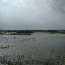
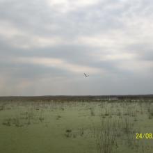
  1. A panoramic view of Sarsai Nawar
    The wide span of Sarsai Nawar
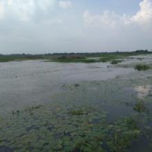
    Aquatic vegetation at Sarsai Nawar bird Sanctuary

    Sarsai Nawar Jheel

    • Country: 
      India
    • Designation date: 
      19-09-2019
    • Site number: 
      2411
    • Published since: 
      4 year(s)
    161 ha
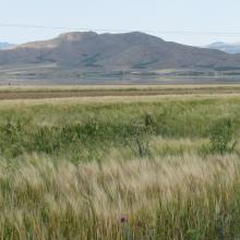
  2. Champ de céréale
    Vue générale du site
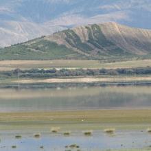
    Avifaune au niveau du site

    Sebkhet El Hamiet

    • Country: 
      Algeria
    • Designation date: 
      12-12-2004
    • Site number: 
      1428
    • Published since: 
      4 year(s)
    2,509 ha
  3. Le lac Toho
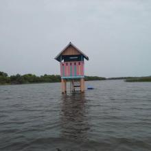
    Mirador sur la portion sacrée de la lagune côtière à Ahloboe dans la commune de Ouidah
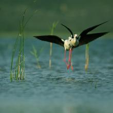
    Cormoran sur les piquets d'Acadja sur le Lac Ahémé
    Coucher du soleil sur la lagune côtière à Grand-Popo
    Lâcher de jeunes tortues marines à Grand-Popo
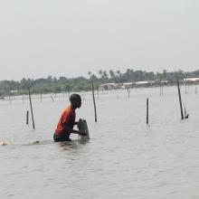
    Pêcheur sur le Lac Ahémé
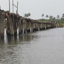
    Pont de fortune sur la lagune côtière dans la commune de Ouidah
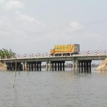
    Pont entre le Lac Ahémé et le Chenal Aho sur la Route Nationale Inter Etat Cotonou-Lomé
    Portion de mangrove sacralisée sur la lagune côtière à Grand-Popo
    En route pour la visite de l'Aire Communautaire de Conservation de la Biodiversité de la Bouche du Roy à Grand-Popo

    Basse Vallée du Couffo, Lagune Côtiere, Chenal Aho, Lac Ahémé

    • Country: 
      Benin
    • Designation date: 
      24-01-2000
    • Site number: 
      1017
    • Published since: 
      4 year(s)
    524,289 ha
  4. Laguna Grande

    Parque Nacional Ciervo de los Pantanos

    • Country: 
      Argentina
    • Designation date: 
      22-03-2008
    • Site number: 
      1750
    • Published since: 
      2 year(s)
    5,561 ha
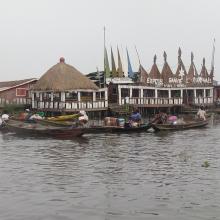
  5. Hotel Chez Raphael dans le village lacustre de Ganvie. Zone touristique dans le site Ramsar 1018
    Plaine inondable de la riviere So dans la Commune de So-Ava. Site d'accueil des oiseaux d'eau migrateurs
    Zone du Lac Nokoue investie par la Jacinthe d'eau. On peut noter aussi sur la photo l'installation des filets pour la capture des poissons

    Basse Vallée de l'Ouémé, Lagune de Porto-Novo, Lac Nokoué

    • Country: 
      Benin
    • Designation date: 
      24-01-2000
    • Site number: 
      1018
    • Published since: 
      4 year(s)
    652,760 ha
  6. Lower Berg River Estuary
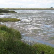
    Salt marshes - Berg River Estuary
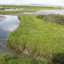
    Lower reaches Berg River Estuary
    Upstream of salt works

    Berg Estuary Ramsar Site

    • Country: 
      South Africa
    • Designation date: 
      01-02-2022
    • Site number: 
      2466
    • Published since: 
      2 year(s)
    1,163 ha
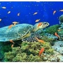
  7. Olive ridley Turtle, corals
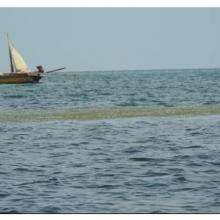
    Sea Grass over shallow water surface
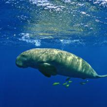
    Dugong
    Panoramic view of Gulf of Mannar Marine Biosphere Reserve
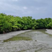
    Mangrove cover in Mannar Biosphere Reserve

    Gulf of Mannar Marine Biosphere Reserve

    • Country: 
      India
    • Designation date: 
      08-04-2022
    • Site number: 
      2472
    • Published since: 
      1 year(s)
    52,672 ha
  8. lake Svityaz
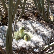
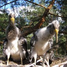
    geese chicks
    wild geese
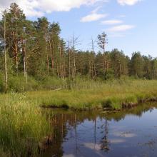
    swamp
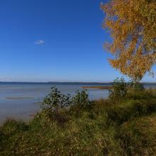
    lake Svityaz
    Lake Somynets
    Concentration of Fulica atra
    Lake Svitiaz

    Shatsk Lakes

    • Country: 
      Ukraine
    • Designation date: 
      28-02-1997
    • Site number: 
      775
    • Published since: 
      3 year(s)
    32,850 ha
  9. Young birds Ciconia nigra in the nest.
    the Zholobnytsya River
    Lyrurus tetrix
    Плодоношення пухівки на болоті урочище «Мироші»
    Штучні гніздування платформи на екотоні ВБУ
    Nest of Grus grus in the swamp "Myroshi"

    Polissia Mires

    • Country: 
      Ukraine
    • Designation date: 
      17-11-2003
    • Site number: 
      1403
    • Published since: 
      2 year(s)
    2,145 ha
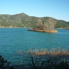
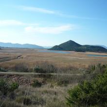
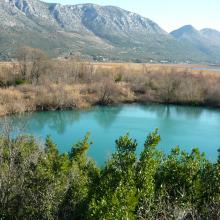
  10. Blace Bay - Salicornia europea
    Kuti Lake
    Delta Neretva
    Baćinska Lakes
    Desne Lake
    Modro oko Lake
    Delta Neretva, Sea
    Delta Neretva
    Parila Lagoon
    Delta Neretva
    Delta Neretva
    Laeflet -  preserve wetland habitats from fire in the Neretva River Delta
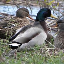
    Anas platyrhynchos
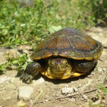
    Emys orbicularis
    Mauremys rivulata
    Nymphaea alba L.
    Egretta garzetta
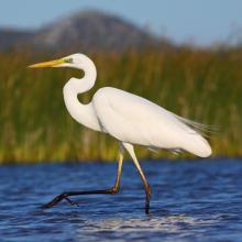
    Egretta alba
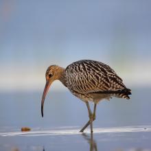
    Numenius arquata
    Himantopus himantopus
    Panurus biarmicus

    Neretva River Delta

    • Country: 
      Croatia
    • Designation date: 
      02-11-1992
    • Site number: 
      585
    • Published since: 
      4 year(s)
    12,742 ha

Pages

Stats


Exports

Export Sites information

For a summary list of all the Ramsar Sites in pdf format, click here.

Generate reports of selected Sites

You can generate a report based on the filters you have applied, in either pdf or xls format. The report will sort the results by the Site name, unless you have sorted them by another variable.

For the pdfs, you can choose whether to include the introductory text on each Site, or just show the key data in a shorter report.

To receive a report, please provide your email address and enter the text in the verification picture into the textbox.

As soon as the list has been generated an e-mail will be sent to you with the link to access the file.