Search results
Search found 62 Ramsar Sites covering 8,863,223 ha
- (-) Remove Region/country: Africa filter Region/country: Africa
- (-) Remove Region/country: Europe filter Region/country: Europe
- (-) Remove Region/country: Serbia filter Region/country: Serbia
- (-) Remove Region/country: South Sudan filter Region/country: South Sudan
- (-) Remove Region/country: Algeria filter Region/country: Algeria
Map
Materials presented on this website, particularly maps and territorial information, are as-is and as-available based on available data and do not imply the expression of any opinion whatsoever on the part of the Secretariat of the Ramsar Convention concerning the legal status of any country, territory, city or area, or of its authorities, or concerning the delimitation of its frontiers or boundaries.
List
-


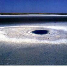
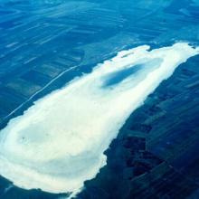
Chott Ech Chergui
-
Country:Algeria
-
Designation date:02-02-2001
-
Site number:1052
-
Published since:4 year(s)
855,500 ha -
-


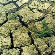
Le Cirque de Aïn Ouarka
-
Country:Algeria
-
Designation date:06-04-2003
-
Site number:1300
-
Published since:3 year(s)
2,350 ha -
-


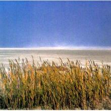
Sebkhet El Melah
-
Country:Algeria
-
Designation date:12-12-2004
-
Site number:1429
-
Published since:6 year(s)
18,947 ha -
-

Gornje Podunavlje
-
Country:Serbia
-
Designation date:13-11-2007
-
Site number:1737
-
Published since:16 year(s)
22,480 ha -
-
Koviljsko-Petrovaradinski Rit
-
Country:Serbia
-
Designation date:08-03-2012
-
Site number:2028
-
Published since:12 year(s)
8,292 ha -
-
Labudovo okno
-
Country:Serbia
-
Designation date:19-03-2006
-
Site number:1655
-
Published since:17 year(s)
3,733 ha -
-
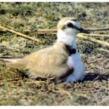
Ludasko Lake
-
Country:Serbia
-
Designation date:28-03-1977
-
Site number:137
-
Published since:47 year(s)
593 ha -
-
Obedska Bara
-
Country:Serbia
-
Designation date:28-03-1977
-
Site number:136
-
Published since:47 year(s)
17,501 ha -
-
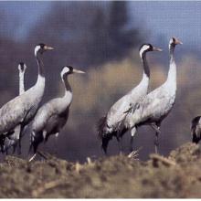
Slano Kopovo
-
Country:Serbia
-
Designation date:14-05-2004
-
Site number:1392
-
Published since:19 year(s)
976 ha -
-
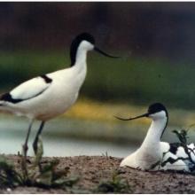
Stari Begej - Carska Bara Special Nature Reserve
-
Country:Serbia
-
Designation date:14-03-1996
-
Site number:819
-
Published since:28 year(s)
1,767 ha -