Search results

Map

Choose map: | | Download Centroids / Boundaries / Map (pdf)
Materials presented on this website, particularly maps and territorial information, are as-is and as-available based on available data and do not imply the expression of any opinion whatsoever on the part of the Secretariat of the Ramsar Convention concerning the legal status of any country, territory, city or area, or of its authorities, or concerning the delimitation of its frontiers or boundaries.

List

  1. Clara Bog
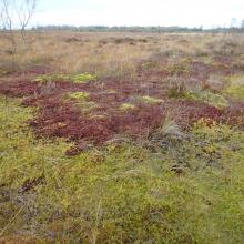
    Active Raised Bog displaying Sphagnum magellanicum low hummocks and lawns and Sphagnum cuspidatum pools.
    Sphagnum magellanicum & S. cuspidatum lawns within a soak system at Clara West.

    Clara Bog

    • Country: 
      Ireland
    • Designation date: 
      06-12-1988
    • Site number: 
      415
    • Published since: 
      2 year(s)
    460 ha
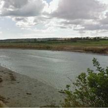
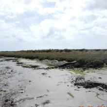
  2. Ballymacoda
    Ballymacoda
    Ballymacoda

    Ballymacoda

    • Country: 
      Ireland
    • Designation date: 
      07-06-1996
    • Site number: 
      831
    • Published since: 
      1 year(s)
    375 ha
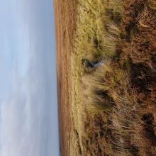
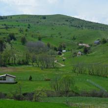
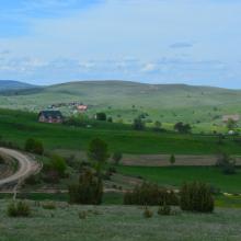
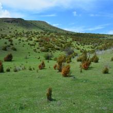
  3. Landscape
    Landscape
    Landscape
    Landscape
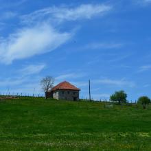
    Local architecture
    Landscape
    Landscape
    Landscape
    Landscape
    Landscape
    Landscape
    Landscape
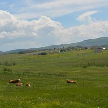
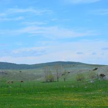
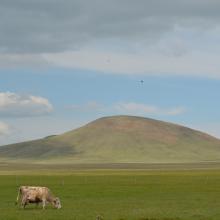
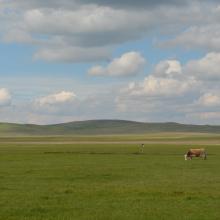
    Traditional manner of keeping the cattle grazing
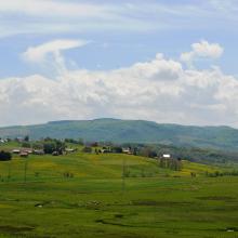
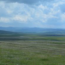
    The view of Peštersko polje from Trojan Hill
    The view of Peštersko polje from Trojan Hill
    The view from Trojan Hill of the area surrounding Peštersko polje
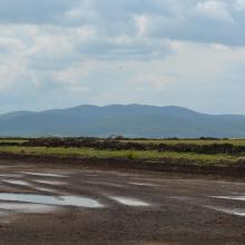
    The view of peat exploitation parcels from Trojan Hill
    The Trojan Hill, the highest peek on the Pešter Plateau (1351m a.s.l.)
    Djurdjevica spring
    Djurdjevica spring
    Djurdjevica spring
    The Trojan Hill, the highest peek on the Pešter Plateau (1351m a.s.l.)
    Landscape
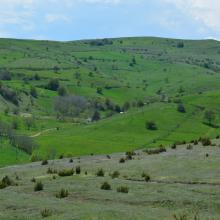
    Wetlands
    Wetlands
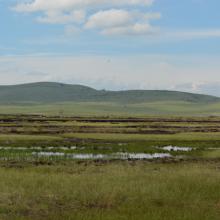
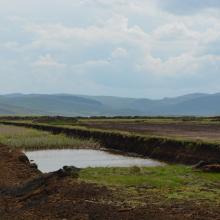
    Wetlands near the Trojan Hill
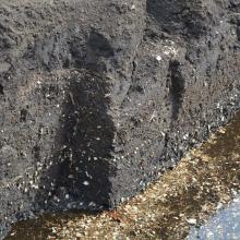
    Exploitation of peat
    Exploitation of peat
    Exploitation of peat
    Exploitation of peat

    Pestersko polje

    • Country: 
      Serbia
    • Designation date: 
      19-03-2006
    • Site number: 
      1656
    • Published since: 
      4 year(s)
    3,421 ha
  4. stream within expanse of blanket bog
    Pool within blanket bog, wind turbines in the background (not within the Ramsar site)
    Intact blanket bog
    Intact blanket bog with pool system
    River and old settlement along Ramsar Site boundary. Forestry is separated from the Ramsar Site by the river.
    Blanket bog with adjacent and distant conifer plantation.
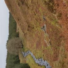
    Ox Mountains, stream and blanket bog habitats.
    Blanket bog with tip of wind turbine from development next to the Ramsar Site

    Easky Bog

    • Country: 
      Ireland
    • Designation date: 
      30-05-1990
    • Site number: 
      471
    • Published since: 
      1 year(s)
    607 ha
  5. Small pool on Lough Barra Bog
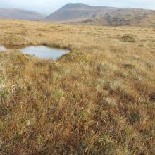
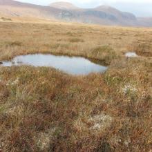
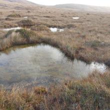
    Pool system on Lough Barra Bog.
    Upland blanket bog with pool system, Lough Barray Bog.

    Lough Barra Bog

    • Country: 
      Ireland
    • Designation date: 
      01-06-1987
    • Site number: 
      373
    • Published since: 
      1 year(s)
    176 ha
  6. Ramsar logo

    Gornje Podunavlje

    • Country: 
      Serbia
    • Designation date: 
      13-11-2007
    • Site number: 
      1737
    • Published since: 
      16 year(s)
    22,480 ha
  7. Ramsar logo

    Koviljsko-Petrovaradinski Rit

    • Country: 
      Serbia
    • Designation date: 
      08-03-2012
    • Site number: 
      2028
    • Published since: 
      12 year(s)
    8,292 ha
  8. Ramsar logo

    Labudovo okno

    • Country: 
      Serbia
    • Designation date: 
      19-03-2006
    • Site number: 
      1655
    • Published since: 
      17 year(s)
    3,733 ha
  9. Ramsar logo

    Ludasko Lake

    • Country: 
      Serbia
    • Designation date: 
      28-03-1977
    • Site number: 
      137
    • Published since: 
      47 year(s)
    593 ha
  10. Ramsar logo

    Obedska Bara

    • Country: 
      Serbia
    • Designation date: 
      28-03-1977
    • Site number: 
      136
    • Published since: 
      47 year(s)
    17,501 ha

Pages

Stats


Exports

Export Sites information

For a summary list of all the Ramsar Sites in pdf format, click here.

Generate reports of selected Sites

You can generate a report based on the filters you have applied, in either pdf or xls format. The report will sort the results by the Site name, unless you have sorted them by another variable.

For the pdfs, you can choose whether to include the introductory text on each Site, or just show the key data in a shorter report.

To receive a report, please provide your email address and enter the text in the verification picture into the textbox.

As soon as the list has been generated an e-mail will be sent to you with the link to access the file.