Search results

Map

Choose map: | | Download Centroids / Boundaries / Map (pdf)
Materials presented on this website, particularly maps and territorial information, are as-is and as-available based on available data and do not imply the expression of any opinion whatsoever on the part of the Secretariat of the Ramsar Convention concerning the legal status of any country, territory, city or area, or of its authorities, or concerning the delimitation of its frontiers or boundaries.

List

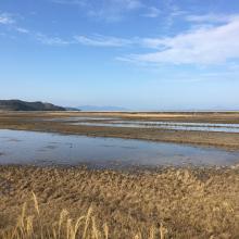
  1. The Takaono River estuary:
Tidal flats with sand and mud deposits are inhabited by many organisms, including birds.
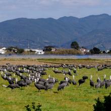
    Hooded Cranes foraging in front of Mt. Yahazu, located in the northeastern part of Izumi Plain.
    Paddy fields in winter across the Izumi Plain:
Many cranes forage during the day, and at night, they roost in groups in paddy fields filled with water for their roosting ground.

    Izumi Wintering Habitat of Cranes

    • Country: 
      Japan
    • Designation date: 
      18-11-2021
    • Site number: 
      2462
    • Published since: 
      2 year(s)
    478 ha
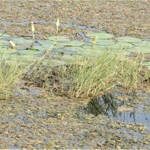
  2. Emergent Hydrophytes
    Fishing activity
    Greylag_Goose
    Inlet
    Interpretation center_for_nature education
    Islet
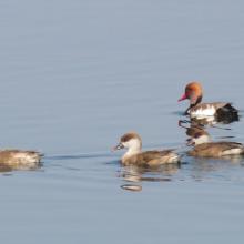
    Migrant Duck_Red-crested Pochard
    Open water habitat
    Outlet canal
    Rooted Hydrophyte_Nymphaea
    Submerged Hydrophyte_Ottelia
    Watch tower_for_birding

    Wadhvana Wetland

    • Country: 
      India
    • Designation date: 
      05-04-2021
    • Site number: 
      2454
    • Published since: 
      2 year(s)
    630 ha
  3. Paysage de Mandrozo (Ilot sacré)
    Héron de Madagascar : Ardea humbloti (EN)
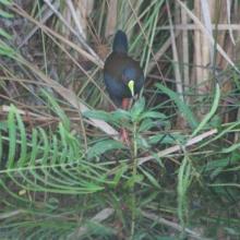
    Râle d’Olivier : Amaurornis olivieri (EN)
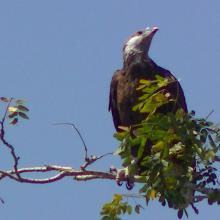
    Aigle pêcheur de Madagascar : Haliaeetus vociferoides (CR)
    Aigle pêcheur de Madagascar : Haliaeetus vociferoides (CR)
    Eulemur rufus
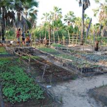
    Pépinière
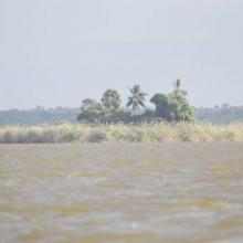
    Vue ensemble lac Mandrozo
    pêcheur

    Zone Humide de Mandrozo

    • Country: 
      Madagascar
    • Designation date: 
      05-06-2012
    • Site number: 
      2049
    • Published since: 
      4 year(s)
    15,145 ha
  4. Lower Berg River Estuary
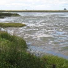
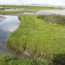
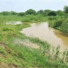
    Salt marshes - Berg River Estuary
    Lower reaches Berg River Estuary
    Upstream of salt works

    Berg Estuary Ramsar Site

    • Country: 
      South Africa
    • Designation date: 
      01-02-2022
    • Site number: 
      2466
    • Published since: 
      2 year(s)
    1,163 ha
  5. Sasmuan Bangkung Malapad Critical Habitat and Ecotourism Area which is part of the SPCW
    Sasmuan Bangkung Malapad Critical Habitat and Ecotourism Area which is part of the SPCW
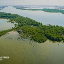
    Mangrove Forest within the SPCW
    Mangrove Forest within the SPCW

    Sasmuan Pampanga Coastal Wetlands

    • Country: 
      Philippines
    • Designation date: 
      02-02-2021
    • Site number: 
      2445
    • Published since: 
      3 year(s)
    3,667 ha
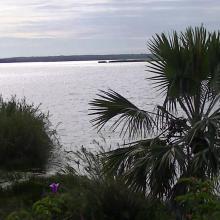
  6. Tudakul reservoir
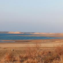
    Kuymazar reservoir
    Kuymazar  reservoir
    Kuymazar  reservoir
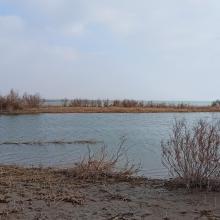
    Vegetation on the shore of the Tudakul reservoir

    Tudakul and Kuymazar Water Reservoirs

    • Country: 
      Uzbekistan
    • Designation date: 
      19-08-2020
    • Site number: 
      2433
    • Published since: 
      3 year(s)
    32,000 ha
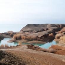
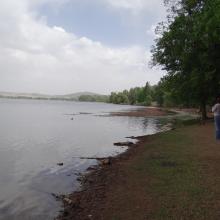
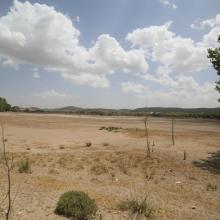
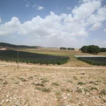
  7. Dayet Awwa en eau (submersion subtotale)
    Dayet Awwa à sec (secteur amont/ouest)
    Dayet Hachlaf en eau (submersion moyenne)
    Dayet Hachlaf à sec (avec cultures sous-serre)
    Dayet Hachlaf à sec_Vue panoramique
    Dayet Ifrah asséché
    Dayet Ifrah en eau (submesrion quasitotale)

    Lacs d'Imouzzer du Kandar

    • Country: 
      Morocco
    • Designation date: 
      16-04-2019
    • Site number: 
      2374
    • Published since: 
      4 year(s)
    512 ha
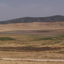
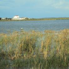
  8. Lac des Oiseaux

    La Réserve Naturelle du Lac des Oiseaux

    • Country: 
      Algeria
    • Designation date: 
      22-03-1999
    • Site number: 
      975
    • Published since: 
      4 year(s)
    120 ha
  9. Marais de la Mékheda
    Marais de la Mékhada

    Marais de la Mekhada

    • Country: 
      Algeria
    • Designation date: 
      06-04-2003
    • Site number: 
      1301
    • Published since: 
      4 year(s)
    8,900 ha
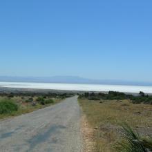
  10. Vue d'ensemble de la grande sebkha d'oran

    Grande Sebkha d'Oran

    • Country: 
      Algeria
    • Designation date: 
      02-02-2001
    • Site number: 
      1055
    • Published since: 
      4 year(s)
    56,870 ha

Pages

Stats


Exports

Export Sites information

For a summary list of all the Ramsar Sites in pdf format, click here.

Generate reports of selected Sites

You can generate a report based on the filters you have applied, in either pdf or xls format. The report will sort the results by the Site name, unless you have sorted them by another variable.

For the pdfs, you can choose whether to include the introductory text on each Site, or just show the key data in a shorter report.

To receive a report, please provide your email address and enter the text in the verification picture into the textbox.

As soon as the list has been generated an e-mail will be sent to you with the link to access the file.