Search results

Map

Choose map: | | Download Centroids / Boundaries / Map (pdf)
Materials presented on this website, particularly maps and territorial information, are as-is and as-available based on available data and do not imply the expression of any opinion whatsoever on the part of the Secretariat of the Ramsar Convention concerning the legal status of any country, territory, city or area, or of its authorities, or concerning the delimitation of its frontiers or boundaries.

List

  1. lac khar
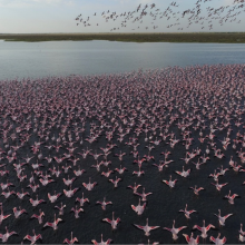
    grand lac (envol de flamants nains)
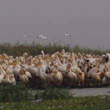
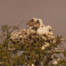
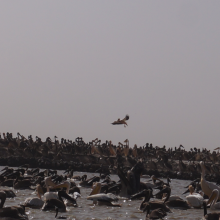
    pélicans en reproduction au djoudj
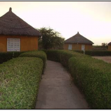
    campement écotouristique des communautés riveraines du parc
    crocodile du nil au bord du marigot du djoudj
    flamants roses en vol au dessus de la rivière Gorom
    activité d'aménagement par les agents du parc (signalétique)
    activité d'amenagement d'un lac par les volontaires écogardes du parc
    héronnière de la zone du crocodile (zone nord du parc)
    poussins de pelicans gris (canal du crocodile)
    image du canal du crocodile
    nichoir des pélicans
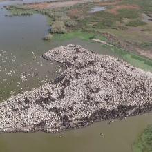
    vue aérienne du nichoir des pélicans
    python de Seba
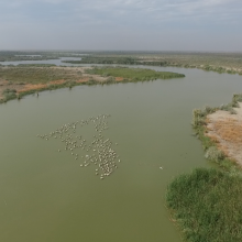
    vue aérienne du marigot du djoudj

    Parc National des Oiseaux du Djoudj

    • Country: 
      Senegal
    • Designation date: 
      11-07-1977
    • Site number: 
      138
    • Published since: 
      7 year(s)
    16,000 ha
  2. x

    Aldabra Atoll

    • Country: 
      Seychelles
    • Designation date: 
      02-02-2010
    • Site number: 
      1887
    • Published since: 
      14 year(s)
    43,900 ha
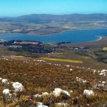
  3. Panoramic of Bot/Kleinmond Estuarine System
    Bot/Kleinmond Estuarine System
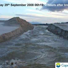
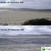
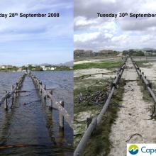
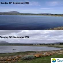
     images of breaching of the Bot River Estuary including pre and post breaching.
    Images of breaching of the Bot River Estuary including pre and post breaching.
    Images of breaching of the Bot River Estuary including pre and post breaching.
    Images of breaching of the Bot River Estuary including pre and post breaching.
    Images of breaching of the Bot River Estuary including pre and post breaching.
    Images of breaching of the Bot River Estuary including pre and post breaching.

    Bot - Kleinmond Estuarine System

    • Country: 
      South Africa
    • Designation date: 
      31-01-2017
    • Site number: 
      2291
    • Published since: 
      7 year(s)
    1,350 ha
  4. Ramsar logo

    Prince Edward Islands

    • Country: 
      South Africa
    • Designation date: 
      22-05-2007
    • Site number: 
      1688
    • Published since: 
      16 year(s)
    37,500 ha
  5. Ramsar logo

    St. Lucia System

    • Country: 
      South Africa
    • Designation date: 
      02-10-1986
    • Site number: 
      345
    • Published since: 
      26 year(s)
    155,500 ha
  6. Ramsar logo

    Dongonab Bay-Marsa Waiai

    • Country: 
      Sudan
    • Designation date: 
      02-02-2009
    • Site number: 
      1859
    • Published since: 
      15 year(s)
    280,000 ha
  7. Ramsar logo

    Rufiji-Mafia-Kilwa Marine Ramsar Site

    • Country: 
      United Republic of Tanzania
    • Designation date: 
      29-10-2004
    • Site number: 
      1443
    • Published since: 
      19 year(s)
    596,908 ha
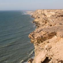
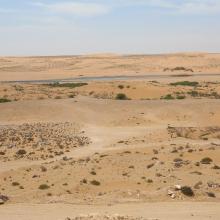
  8. Littoral Aftissate-Boujdour: falaise surplombant directement les eaux océaniques
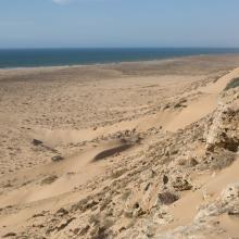
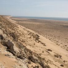
    Littoral Aftissate-Boujdour: diversité des habitats et valeur paysagère (vue vers le Nord)
    Littoral Aftissate-Boujdour: diversité des habitats et valeur paysagère (vue vers le Nord)
    Valeur culturelle du littoral d'Aftissate: tumulus sur le plateau littoral
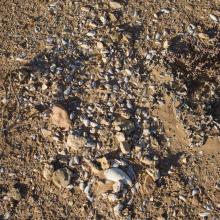
    Valeur culturelle du littoral d'Aftissate: amas coquillier préhistorique sur le plateau littoral

    Côte Aftissate-Boujdour

    • Country: 
      Morocco
    • Designation date: 
      16-04-2019
    • Site number: 
      2377
    • Published since: 
      4 year(s)
    11,700 ha
  9. Oued As-Saqia Al Hamra persant le barrage de dunes sableuses
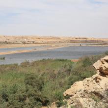
    Oued As-Saqia Al Hamra à l'amont immédiat du barrage de dunes sableuses
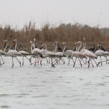
    Oued As-Saqia Al Hamra à l'amont du barrage dunaire _flamants et sarcelles marbrées
    Oued As-Saqia Al Hamra en contact de la ville de La'youne (vue vers l'amont)
    Oued As-Saqia Al Hamra en contact de la ville de La'youne et végétation émergente (vue vers l'amont)

    Oued Assaquia Al Hamra à La'youne

    • Country: 
      Morocco
    • Designation date: 
      16-04-2019
    • Site number: 
      2382
    • Published since: 
      4 year(s)
    9,500 ha
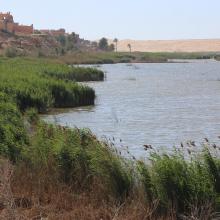
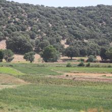
  10. O. Tizguite à Zaouyate S. Abdeslam : rives de l'oued mise en culture
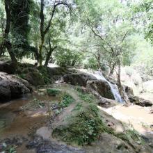
    O. Tizguite au niveau de la cascade : vue de profil
    O. Tizguite en aval d'Ifrane : oued ombragé et à écoulement lent
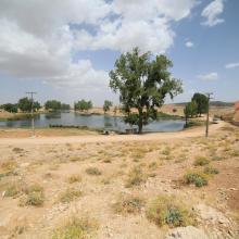
    SR Tizguite : Plan d'eau piscicole de Zerrouka
    O. Tizguite en aval d'Ifrane : des centaines de véhicules stationnent le long de la route

    Oued Tizguite

    • Country: 
      Morocco
    • Designation date: 
      16-04-2019
    • Site number: 
      2375
    • Published since: 
      4 year(s)
    606 ha

Pages

Stats


Exports

Export Sites information

For a summary list of all the Ramsar Sites in pdf format, click here.

Generate reports of selected Sites

You can generate a report based on the filters you have applied, in either pdf or xls format. The report will sort the results by the Site name, unless you have sorted them by another variable.

For the pdfs, you can choose whether to include the introductory text on each Site, or just show the key data in a shorter report.

To receive a report, please provide your email address and enter the text in the verification picture into the textbox.

As soon as the list has been generated an e-mail will be sent to you with the link to access the file.