Search results
Search found 69 Ramsar Sites covering 7,798,424 ha
- (-) Remove Region/country: Oceania filter Region/country: Oceania
- (-) Remove Threats: Water regulation filter Threats: Water regulation
- (-) Remove Region/country: Asia filter Region/country: Asia
- (-) Remove Wetland type: Inland wetlands filter Wetland type: Inland wetlands
- (-) Remove Region/country: North America filter Region/country: North America
- (-) Remove Wetland type: M: Permanent rivers/ streams/ creeks filter Wetland type: M: Permanent rivers/ streams/ creeks
- (-) Remove Threats: Drainage filter Threats: Drainage
- (-) Remove Threats: Transportation and service corridors filter Threats: Transportation and service corridors
- (-) Remove Region/country: United States of America filter Region/country: United States of America
Map
Materials presented on this website, particularly maps and territorial information, are as-is and as-available based on available data and do not imply the expression of any opinion whatsoever on the part of the Secretariat of the Ramsar Convention concerning the legal status of any country, territory, city or area, or of its authorities, or concerning the delimitation of its frontiers or boundaries.
List
-
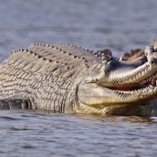
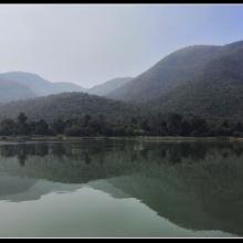


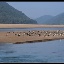
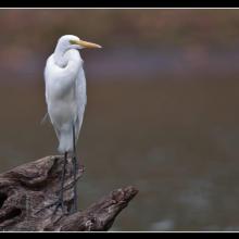
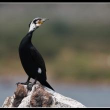

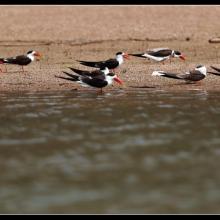
Satkosia Gorge
-
Country:India
-
Designation date:12-10-2021
-
Site number:2470
-
Published since:1 year(s)
98,197 ha -
-


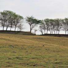
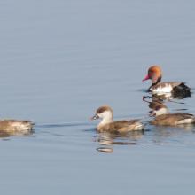
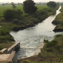
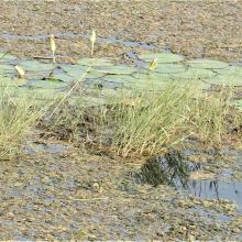


Wadhvana Wetland
-
Country:India
-
Designation date:05-04-2021
-
Site number:2454
-
Published since:2 year(s)
630 ha -
-
Ranganathittu Bird Sanctuary
-
Country:India
-
Designation date:15-02-2022
-
Site number:2473
-
Published since:1 year(s)
518 ha -
-
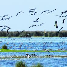
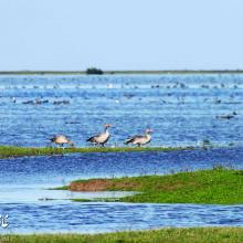
Bujagh National Park
-
Country:Iran (Islamic Republic of)
-
Designation date:23-06-1975
-
Site number:46
-
Published since:1 year(s)
3,433 ha -
-
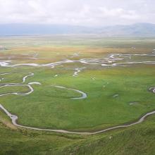
Gansu Yellow River Shouqu Wetlands
-
Country:China
-
Designation date:03-02-2020
-
Site number:2429
-
Published since:3 year(s)
132,067 ha -
-
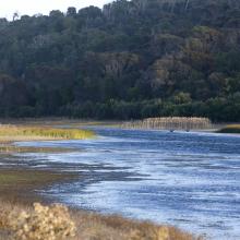

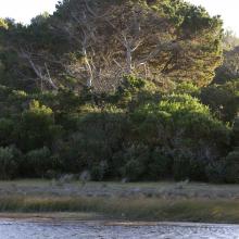
Little Waterhouse Lake
-
Country:Australia
-
Designation date:16-11-1982
-
Site number:260
-
Published since:1 year(s)
56 ha -
-
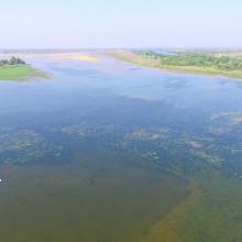
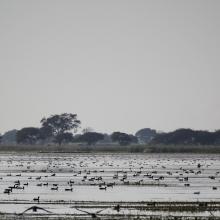
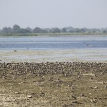
Nandur Madhameshwar
-
Country:India
-
Designation date:21-06-2019
-
Site number:2410
-
Published since:4 year(s)
1,437 ha -
-

Shadegan Marshes & mudflats of Khor-al Amaya & Khor Musa
-
Country:Iran (Islamic Republic of)
-
Designation date:23-06-1975
-
Site number:41
-
Published since:19 year(s)
400,000 ha -
-
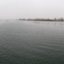

Central Marshes
-
Country:Iraq
-
Designation date:07-04-2014
-
Site number:2241
-
Published since:8 year(s)
219,700 ha -
-
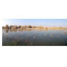

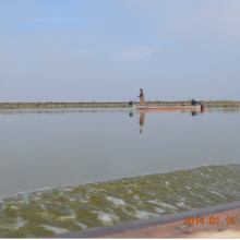
Hammar Marsh
-
Country:Iraq
-
Designation date:07-04-2014
-
Site number:2242
-
Published since:8 year(s)
180,000 ha -
