Search results

Map

Choose map: | | Download Centroids / Boundaries / Map (pdf)
Materials presented on this website, particularly maps and territorial information, are as-is and as-available based on available data and do not imply the expression of any opinion whatsoever on the part of the Secretariat of the Ramsar Convention concerning the legal status of any country, territory, city or area, or of its authorities, or concerning the delimitation of its frontiers or boundaries.

List

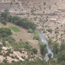
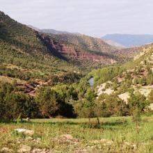
  1. Vallée aux versants boisés de l'Ahançal dans son bas cours
    Valeurs culturelles : gravures rupestres sur roche
    Valeurs culturelles : Grenier ancestral, suspendu dans une falaise
    Un des rares endroits où la vallée de l'Ahançal est ouverte : Tamga
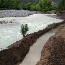
    Usages : seguia de dérivation artisanale de l'eau
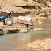
    Usages : Prélèvement d'eau pour usage domestique
    Singe magot dans son habitat, sur un versant de rive droite du bas oued Melloul

    Assifs Ahançal-Melloul

    • Country: 
      Morocco
    • Designation date: 
      22-05-2019
    • Site number: 
      2378
    • Published since: 
      4 year(s)
    1,385 ha
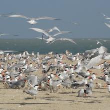
  2. REPRODUCTION DES STERNES CASPIENNES
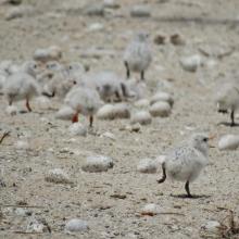
    POUSSINS DE STERNES ROYALES
    FEMMES EN ACTIVITES DE RAMASSAGES DES ARCHES DANS LES VASES DE LA ROK
    REPRODUCTION DES STERNES CASPIENNES DANS LA ROK

    Kalissaye

    • Country: 
      Senegal
    • Designation date: 
      01-09-2017
    • Site number: 
      2326
    • Published since: 
      6 year(s)
    30,014 ha
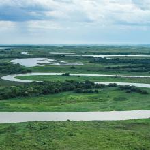
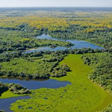
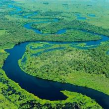
  3. Taiamã Ecological Station

    Taiamã Ecological Station

    • Country: 
      Brazil
    • Designation date: 
      21-10-2018
    • Site number: 
      2363
    • Published since: 
      5 year(s)
    11,555 ha
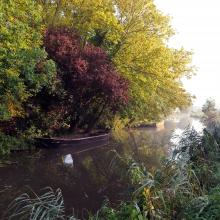
  4. paysage du marais
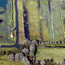
    moulin et gestion hydraulique
    les maisons sur les îles
    vol de cygnes au dessus d'une rivière
    Saules têtards sous la neige

    Le Marais audomarois

    • Country: 
      France
    • Designation date: 
      15-09-2008
    • Site number: 
      1835
    • Published since: 
      6 year(s)
    3,726 ha
  5. Isla de Cíes. Playa con Amophila arenaria
    Isla de Cíes. Laguna costera
    Isla de Cíes. Percebes
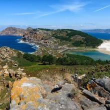
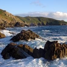
    Isla de Ons. Acantilados costeros
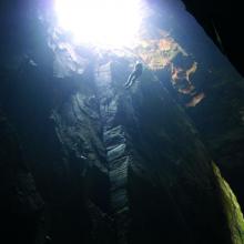
    Isla de Ons. Cuevas de Gavotos
    Isla de Ons. Cueva Burato do Inferno
    Isla de Ons. Camino con sauces
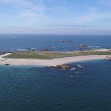
    Isla de Sálvora. Panorámica
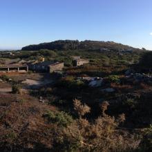
    Isla de Sálvora. Aldea
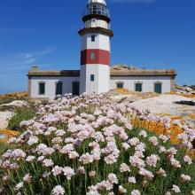
    Isla de Sálvora. Faro y Armeria en flor
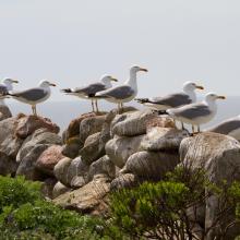
    Isla de Sálvora. Gaviotas patiamarillas
    Isla de Cortegada. Panorámica
    Isla de Cortegada. Bosque
    Isla de Onza. Panorámica
    Isla de Vionta. Panorámica
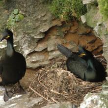
    Pareja de cormorán moñudo (PN Marítimo-Terrestre de las Islas Atlánticas de Galicia)
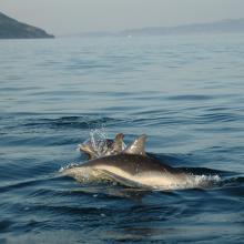
    Delphinus delphis (PN Marítimo-Terrestre de las Islas Atlánticas de Galicia)

    Parque Nacional Marítimo-Terrestre de las Islas Atlánticas de Galicia

    • Country: 
      Spain
    • Designation date: 
      22-05-2021
    • Site number: 
      2453
    • Published since: 
      2 year(s)
    8,543 ha
  6. Camila Ferrara
    Carlos Durigan
    Carlos Durigan
    WCS Brasil

    Rio Negro

    • Country: 
      Brazil
    • Designation date: 
      19-03-2018
    • Site number: 
      2335
    • Published since: 
      2 year(s)
    12,001,614 ha
  7. panoramic view of Pallikaranai Marsh
    Ariel View of Pallikaranai Marsh
    Pallikaranai Marsh
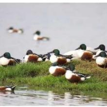
    Northern Shoveler

    Pallikaranai Marsh Reserve Forest

    • Country: 
      India
    • Designation date: 
      08-04-2022
    • Site number: 
      2481
    • Published since: 
      1 year(s)
    1,248 ha
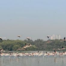
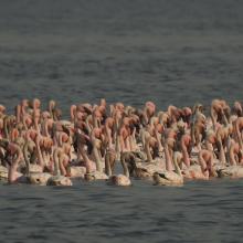
  8. Flamingoes in Thane creek
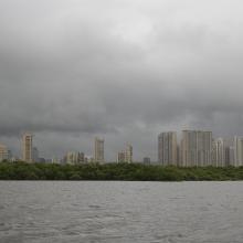
    Mangroves and City
    congregation of Lesser flamingoes
    Mangroves of Thane creek
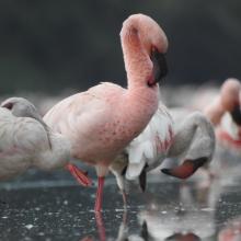
    Closeup view

    Thane Creek

    • Country: 
      India
    • Designation date: 
      13-04-2022
    • Site number: 
      2490
    • Published since: 
      1 year(s)
    6,521 ha
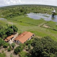
  9. SESC Pantanal
    Campo Alagado - Pantanal - MT
    SESC Pantanal
    RPPN Sesc Pantanal
Photo : Haroldo Palo Jr.
    RPPN Sesc Pantanal
Photo : Haroldo Palo Jr.
    RPPN Sesc Pantanal
Photo : Haroldo Palo Jr.
    RPPN Sesc Pantanal
Photo : Haroldo Palo Jr.

    Private Reserve of Natural Heritage Sesc Pantanal (Reserva Particular do Patrimonio Natural SESC Pantanal)

    • Country: 
      Brazil
    • Designation date: 
      06-12-2002
    • Site number: 
      1270
    • Published since: 
      4 year(s)
    87,871 ha
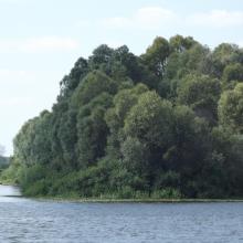
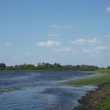
  10. Desna River Floodplain
    Desna River Floodplain
    Desna River Floodplain
    Desna River Floodplain
    Desna River Floodplain
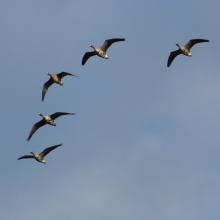
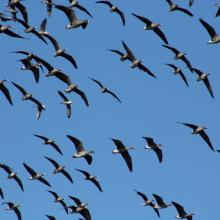
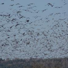
    Migratory  geese.
    Migratory geese.
    Migrating geese.
    Migratory  geese.
    Migratory  geese.
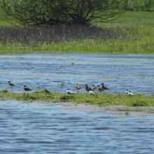
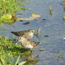
    Migratory waders.
    Migratory waders.
    Migratory waders.

    Desna River Floodplains

    • Country: 
      Ukraine
    • Designation date: 
      17-11-2003
    • Site number: 
      1398
    • Published since: 
      2 year(s)
    4,270 ha

Pages

Stats


Exports

Export Sites information

For a summary list of all the Ramsar Sites in pdf format, click here.

Generate reports of selected Sites

You can generate a report based on the filters you have applied, in either pdf or xls format. The report will sort the results by the Site name, unless you have sorted them by another variable.

For the pdfs, you can choose whether to include the introductory text on each Site, or just show the key data in a shorter report.

To receive a report, please provide your email address and enter the text in the verification picture into the textbox.

As soon as the list has been generated an e-mail will be sent to you with the link to access the file.