Search results

Map

Choose map: | | Download Centroids / Boundaries / Map (pdf)
Materials presented on this website, particularly maps and territorial information, are as-is and as-available based on available data and do not imply the expression of any opinion whatsoever on the part of the Secretariat of the Ramsar Convention concerning the legal status of any country, territory, city or area, or of its authorities, or concerning the delimitation of its frontiers or boundaries.

List

  1. inséré le 27 juin 2016
    inséré le 27 juin 2016
    inséré le 27 juin 2016
    inséré le 27 juin 2016

    Parc National Akanda

    • Country: 
      Gabon
    • Designation date: 
      02-02-2007
    • Site number: 
      1652
    • Published since: 
      7 year(s)
    54,000 ha
  2. Village d'Ankazomborona et mangroves dans la Baie d'Ambaro
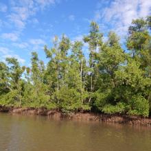
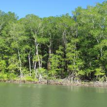
    Mangroves le long du chenal
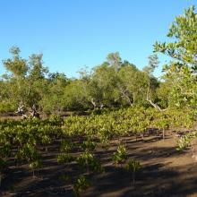
    Zone de restauration
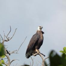
    Haliaeetus vociferoides
    Anas bernieri
    Ardea humbloti
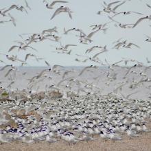
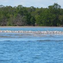
    Peuplement de Sterna bengalensis
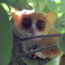
    Microcebus sambiranensis
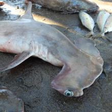
    Shpyrna mokarran
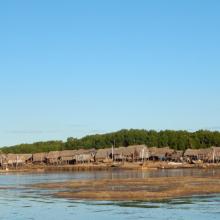
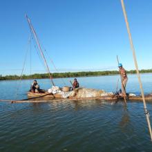
    Village de pêcheurs
    Femme pêcheur
    Pêcheurs

    Mangroves de la Baie d'Ambaro

    • Country: 
      Madagascar
    • Designation date: 
      20-08-2020
    • Site number: 
      2438
    • Published since: 
      3 year(s)
    54,000 ha
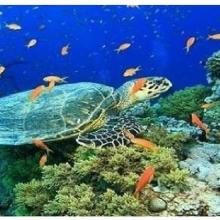
  3. Olive ridley Turtle, corals
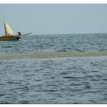
    Sea Grass over shallow water surface
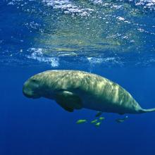
    Dugong
    Panoramic view of Gulf of Mannar Marine Biosphere Reserve
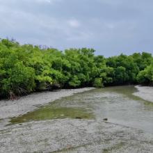
    Mangrove cover in Mannar Biosphere Reserve

    Gulf of Mannar Marine Biosphere Reserve

    • Country: 
      India
    • Designation date: 
      08-04-2022
    • Site number: 
      2472
    • Published since: 
      1 year(s)
    52,672 ha
  4. Restored mangrove site
    Eco tourism on site
    Birds
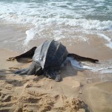
    Leatherback turtle

    Songor Ramsar Site

    • Country: 
      Ghana
    • Designation date: 
      14-08-1992
    • Site number: 
      566
    • Published since: 
      8 year(s)
    51,133 ha
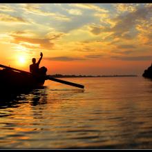
  5. Mangrove in Meinmahla Kyun
    Sunset of Meinmahla Kyun

    Meinmahla Kyun Wildlife Sanctuary

    • Country: 
      Myanmar
    • Designation date: 
      02-02-2017
    • Site number: 
      2280
    • Published since: 
      7 year(s)
    50,000 ha
  6. Bosque de Manglar/Estero de Jaltepeque
    Bosque de Manglar/Estero de Jaltepeque
    Phalacrocorax brasilianus (Pato Chancho) especie potencialmente oportunista en la zona.
    Pandion haliaetus (Águila Pescadora), migratoria.
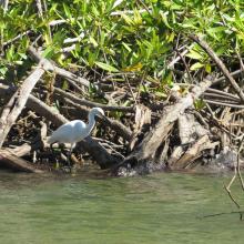
    Egretta thula (Garza blanca de patas amarillas).

    Complejo Jaltepeque

    • Country: 
      El Salvador
    • Designation date: 
      02-02-2011
    • Site number: 
      1935
    • Published since: 
      2 year(s)
    49,474 ha
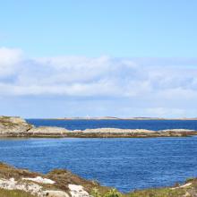
  7. Froan nature reserve
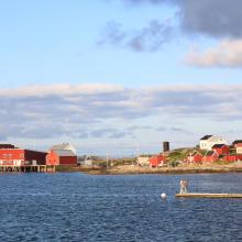
    Froan nature reserve
    Froan nature reserve

    Froan Nature Reserve and Landscape Protection Area

    • Country: 
      Norway
    • Designation date: 
      18-03-1996
    • Site number: 
      809
    • Published since: 
      5 year(s)
    49,097 ha
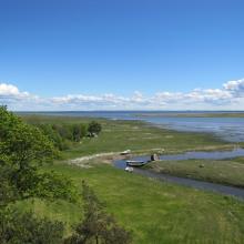
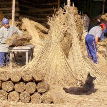
  8. Haeska coastal meadow

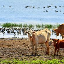
    Matsalu

    • Country: 
      Estonia
    • Designation date: 
      29-03-1994
    • Site number: 
      104
    • Published since: 
      3 year(s)
    48,610 ha
  9. Mangroves de Tsiribihina
    Mangroves de Tsiribihina
    Zone intertidale ouverte et lieu de ponte de flamants roses
    Le fleuve Tsiribihina
    Les plaines alluviales au bord du fleuve Tsiribihina
    Mangrove mixte à Avicennia marina et Rhizophora mucronata
    Exploitation de Typha angustifolia par les communautés locales
    Peuplement de flamants roses à Ankiamena
    Zones de ponte de flamants roses à Ankiamena
    Anas hottentota
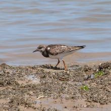
    Arenaria interpres
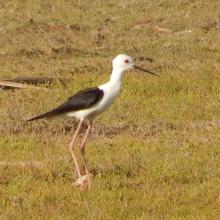
    Himantopus himantopus
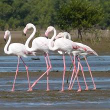
    Phoenicopterus ruber
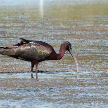
    Plegadis falcinellus

    Mangroves de Tsiribihina

    • Country: 
      Madagascar
    • Designation date: 
      22-05-2017
    • Site number: 
      2302
    • Published since: 
      6 year(s)
    47,218 ha
  10. Kyliiske Mouth
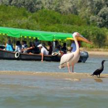
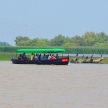
    Kyliiske Mouth
    Kyliiske Mouth
    Kyliiske Mouth
    Kyliiske Mouth
    Kyliiske Mouth
    Kyliiske Mouth
    Kyliiske Mouth
    Kyliiske Mouth
    Kyliiske Mouth
    Kyliiske Mouth
    Kyliiske Mouth
    Kyliiske Mouth

    Kyliiske Mouth

    • Country: 
      Ukraine
    • Designation date: 
      11-10-1976
    • Site number: 
      113
    • Published since: 
      1 year(s)
    44,904 ha

Pages

Stats


Exports

Export Sites information

For a summary list of all the Ramsar Sites in pdf format, click here.

Generate reports of selected Sites

You can generate a report based on the filters you have applied, in either pdf or xls format. The report will sort the results by the Site name, unless you have sorted them by another variable.

For the pdfs, you can choose whether to include the introductory text on each Site, or just show the key data in a shorter report.

To receive a report, please provide your email address and enter the text in the verification picture into the textbox.

As soon as the list has been generated an e-mail will be sent to you with the link to access the file.