Search results

Map

Choose map: | | Download Centroids / Boundaries / Map (pdf)
Materials presented on this website, particularly maps and territorial information, are as-is and as-available based on available data and do not imply the expression of any opinion whatsoever on the part of the Secretariat of the Ramsar Convention concerning the legal status of any country, territory, city or area, or of its authorities, or concerning the delimitation of its frontiers or boundaries.

List

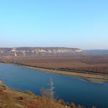
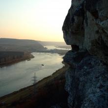
  1. Murafa River
    Dniester River
    Dniester River
    Rosa canina L.
    Ardea cinerea near Murafa River
    Murafa River

    Liadova-Murafa

    • Country: 
      Ukraine
    • Designation date: 
      04-04-2019
    • Site number: 
      2387
    • Published since: 
      4 year(s)
    5,394 ha
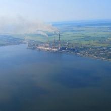
  2. View of the south-western part of the reservoir and Burshtyn thermal power station
    A view of the pond for commercial fishery (in the background – Kuropatnyky Village).
    A view of the north-eastern bank of the reservoir (in the background – country cottages, a forest, and Kasova Mountain (Halytskyi NNP).
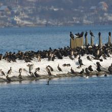
    Flocks of birds in winter.
    Flocks of birds in winter.
    Flocks of birds in winter.
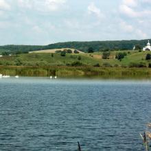
    Flocks of swans.

    Burshtyn Water Reservoir

    • Country: 
      Ukraine
    • Designation date: 
      20-03-2019
    • Site number: 
      2393
    • Published since: 
      4 year(s)
    1,260 ha
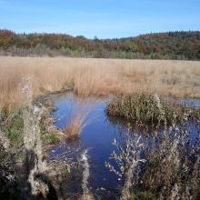
  3. The Site "Black Bog"
    The Site "Black Bog"
    The Site "Black Bog"
    The Site "Black Bog"
    The Site "Black Bog"

    Black Bog

    • Country: 
      Ukraine
    • Designation date: 
      20-03-2019
    • Site number: 
      2389
    • Published since: 
      4 year(s)
    15 ha
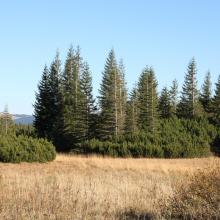
  4. Prut river flow start
    Shrubed peat-bog
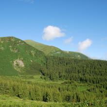
    Spurce virgin wet/dry forests
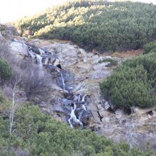
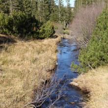
    Stream running through peat bog
    View on Tsybulnyk forested/shurbed peat bog
    A post-glacial kettle under Mount Turkul with the alpine lake Nesamovyte
    A rivulet in the boggy cirque between the mounts of Hoverla and Breskul
    A sedge-moss bog “Tsybulnyk” under Mount Breskul

    Prut River Headwaters

    • Country: 
      Ukraine
    • Designation date: 
      20-03-2019
    • Site number: 
      2395
    • Published since: 
      4 year(s)
    4,935 ha
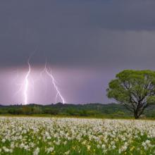
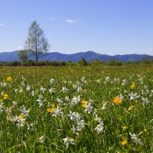
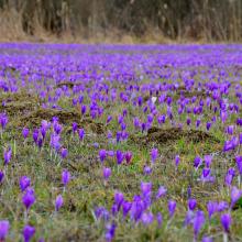
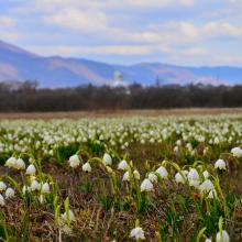
  5. Narcissi Valley
    Narcissi Valley
    Narcissi Valley
    Narcissi Valley
    Narcissi Valley
    Narcissi Valley

    Narcissi Valley

    • Country: 
      Ukraine
    • Designation date: 
      20-03-2019
    • Site number: 
      2390
    • Published since: 
      4 year(s)
    256 ha
  6. Vue des lacs des barrages
    Forêt ripicole sur les berges des barrages

    Complexe du Parc Urbain Bãngr – Weoogo et du lac des trois barrages

    • Country: 
      Burkina Faso
    • Designation date: 
      02-02-2019
    • Site number: 
      2367
    • Published since: 
      5 year(s)
    945 ha
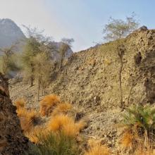
  7. Male Arabitragus jayakari
    Seasonaly flodded wadi
    Terrace with old settelment
    Typical wadi
    Hatta Dam

    Hatta Mountain Reserve

    • Country: 
      United Arab Emirates
    • Designation date: 
      09-01-2019
    • Site number: 
      2368
    • Published since: 
      5 year(s)
    2,100 ha
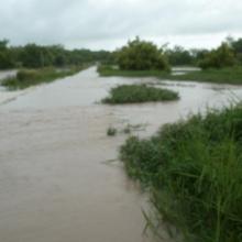
  8. CAP/PONASI inondé par le Nazinon
    Produits forestiers non ligneux du site ( liane goïne)

    Complexe d’Aires Protégées Pô-Nazinga-Sissili

    • Country: 
      Burkina Faso
    • Designation date: 
      27-10-2018
    • Site number: 
      2366
    • Published since: 
      5 year(s)
    301,973 ha
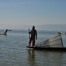
  9. traditional culture of Inlay Lake  Wildlife Sanctuary
    Birds at Inlay Lake

    Inlay Lake Ramsar Site

    • Country: 
      Myanmar
    • Designation date: 
      10-08-2018
    • Site number: 
      2356
    • Published since: 
      5 year(s)
    5,798 ha
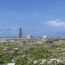
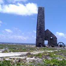
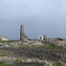
  10. View across Sombrero Island showing Old industrial workings associated with past phosphate mining, - note the date the photo was taken is unknown, not as given
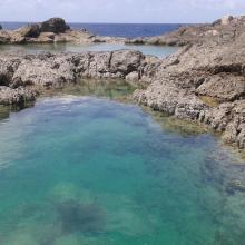
    Pools in craters caused by previous phosphate extraction, Sombrero Island - note the date the photo was taken is unknown, not as given
    Brown Boobys Sula leucogaster on Sombrero Island - note the date the photo was taken is unknown, not as given
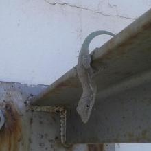
    Probable Anguilla Anole Anolis gingivinus, Sombrero Island.  However DNA samples from Sombrero in the late 1990s showed Anoles on Sombrero to be quite different to those on Anguilla and St Martin: further samples might indicate endemism.
Note the date the photo was taken is unknown, not as given
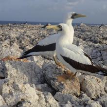
    Masked Booby Sula dactylatra on Sombrero Island - note the date the photo was taken is unknown, not as given
    Pair of Masked Boobys Sula dactylatra chick on Sombrero Island - note the date the photo was taken is unknown, not as given
    Endemic Sombrero Island Ground Lizard Ameiva corvina, Sombrero Island - note the date the photo was taken is unknown, not as given
    Endemic Sombrero Island Ground Lizard Ameiva corvina, Sombrero Island - note the date the photo was taken is unknown, not as given
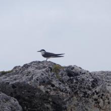
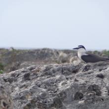
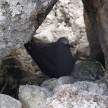
    Bridled Tern Sterna anaethetus,  Sombrero Island - note the date the photo was taken is unknown, not as given
    Masked Booby Sula dactylatra chick on Sombrero Island - note the date the photo was taken is unknown, not as given
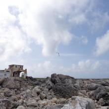
    View across Sombrero Island showing old industrial workings associated with past phosphate mining, - note the date the photo was taken is unknown, not as given
    Brown Noddy Anous stolidus on Sombrero Island - note the date the photo was taken is unknown, not as given
    Bridled Tern Sterna anaethetus,  Sombrero Island - note the date the photo was taken is unknown, not as given
    View across Sombrero Island showing vegetation on old industrial workings associated with past phosphate mining, - note the date the photo was taken is unknown, not as given
    View across Sombrero Island showing vegetation on old industrial workings associated with past phosphate mining, - note the date the photo was taken is unknown, not as given
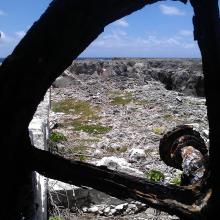
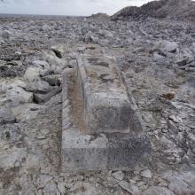
    Old industrial equipment associated with past phosphate mining, note the date the photo was taken is unknown, not as given
    View across Sombrero Island showing vegetation on old industrial workings associated with past phosphate mining, - note the date the photo was taken is unknown, not as given
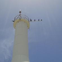
    Seabirds on telecommunications mast, Sombrero Island - note the date the photo was taken is unknown, not as given
    Sombrero Island - note the date the photo was taken is unknown, not as given
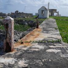
    Old industrial workings associated with past phosphate mining, Sombrero Island - note the date the photo was taken is unknown, not as given
    Brown Booby Sula leucogaster on Sombrero Island - note the date the photo was taken is unknown, not as given
    View across old phosphate mining areas, Sombrero Island - note the date the photo was taken is unknown, not as given
    Nest site of Brown Noddy Anous stolidus in shelter of rocks, Sombrero Island - note the date the photo was taken is unknown, not as given

    Sombrero Island Nature Reserve Marine Park

    • Country: 
      United Kingdom of Great Britain and Northern Ireland (Overseas territories)
    • Designation date: 
      22-05-2018
    • Site number: 
      2354
    • Published since: 
      5 year(s)
    1,051 ha

Pages

Stats


Exports

Export Sites information

For a summary list of all the Ramsar Sites in pdf format, click here.

Generate reports of selected Sites

You can generate a report based on the filters you have applied, in either pdf or xls format. The report will sort the results by the Site name, unless you have sorted them by another variable.

For the pdfs, you can choose whether to include the introductory text on each Site, or just show the key data in a shorter report.

To receive a report, please provide your email address and enter the text in the verification picture into the textbox.

As soon as the list has been generated an e-mail will be sent to you with the link to access the file.