Search results

Map

Choose map: | | Download Centroids / Boundaries / Map (pdf)
Materials presented on this website, particularly maps and territorial information, are as-is and as-available based on available data and do not imply the expression of any opinion whatsoever on the part of the Secretariat of the Ramsar Convention concerning the legal status of any country, territory, city or area, or of its authorities, or concerning the delimitation of its frontiers or boundaries.

List

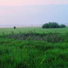
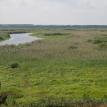
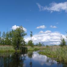
  1. The territory is located in the interfluve of rivers Pripyat and Prostyr and annually is flooded during the spring for about 3 month.
    The black alder waterlogged forest is situated along the Prostyr river.
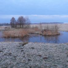
    Floodplain meadows during the flood.
    Floodplain meadows during the flood.
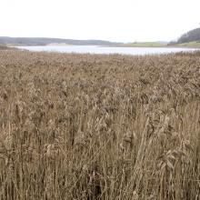
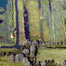
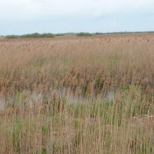
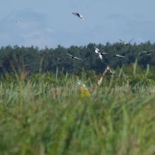
    The considerable part of floodplain meadows are overgrown with reeds due to cessation of traditional use of the floodplain.

    Prostyr

    • Country: 
      Belarus
    • Designation date: 
      18-10-2005
    • Site number: 
      1611
    • Published since: 
      7 year(s)
    9,544 ha
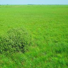
  2. Sporovskoe fen mire
    Yaselda river fen
    Visitor centre in Visokoje village

    Sporovsky Biological Reserve

    • Country: 
      Belarus
    • Designation date: 
      22-11-1999
    • Site number: 
      1007
    • Published since: 
      7 year(s)
    19,384 ha
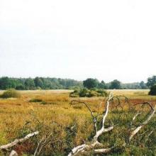
  3. Open fen mire Zvanets
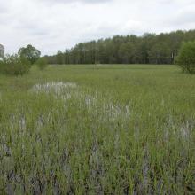
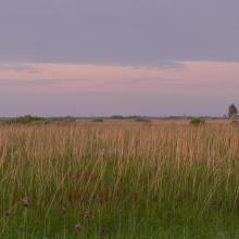
    The open fen mire is overgrowing with reeds and shrubs

    Zvanets

    • Country: 
      Belarus
    • Designation date: 
      21-10-2002
    • Site number: 
      1219
    • Published since: 
      7 year(s)
    16,227 ha
  4. Třeboňské rybníky

    • Country: 
      Czechia
    • Designation date: 
      02-07-1990
    • Site number: 
      495
    • Published since: 
      23 year(s)
    10,165 ha
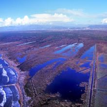
  5. Lame di Fuori Natural Reserve – Massaciuccoli Ramsar Site
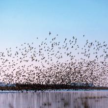
    Wintering ducks – Massaciuccoli Ramsar Site
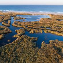
    Massaciuccoli lake and marshland – Massaciuccoli Ramsar Site
    Flooded forest – Massaciuccoli Ramsar Site

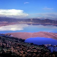
    Massaciuccoli lake and marsh

    • Country: 
      Italy
    • Designation date: 
      22-06-2017
    • Site number: 
      2311
    • Published since: 
      6 year(s)
    11,135 ha
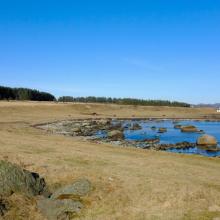
  6. From the sub-site Einarsneset in the Winter.
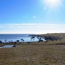
    From the sub-site Einarsneset in the summer.
    Cattle in the sub-site Fuglevika.
    From the sub-site Fuglevika in the Winter.
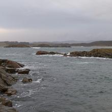
    From the sub-site Hanangervann og Kråkenes in the Winter.
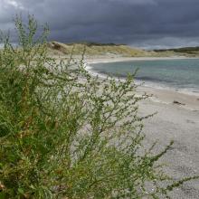
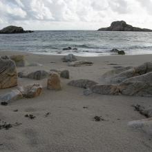
    Beach at sub-site Havika.
    From the sub-site Havika.
    Beach at sub-site Nordhasselvika.
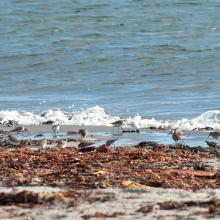
    Common ringed plover and dunlin at the Beach at sub-site Kviljo
    Beach at sub-site Nordhasselvika.
    Beach at sub-site Nordhasselvika.
    Sheep at the Beach at sub-site Steinodden
    Aerial photo of sub-site Steinodden.

    Lista Wetlands System

    • Country: 
      Norway
    • Designation date: 
      18-03-1996
    • Site number: 
      804
    • Published since: 
      5 year(s)
    1,173 ha
  7. paysage du marais
    moulin et gestion hydraulique
    les maisons sur les îles
    vol de cygnes au dessus d'une rivière
    Saules têtards sous la neige

    Le Marais audomarois

    • Country: 
      France
    • Designation date: 
      15-09-2008
    • Site number: 
      1835
    • Published since: 
      6 year(s)
    3,726 ha
  8. Roselière de Trunvel
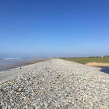
    Cordon de galets à Plovan "Ero vili"
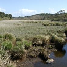
    Queue d'étang de Trunvel
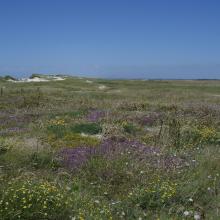
    Dune grise

    Baie d'Audierne

    • Country: 
      France
    • Designation date: 
      04-09-2021
    • Site number: 
      2460
    • Published since: 
      2 year(s)
    2,396 ha
  9. The Stokhid River near Buchin village
    Chlidonias leucopterus
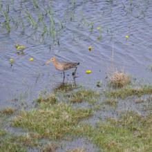
    Limosa limosa
    Floodplain of Stokhid near Zarika village

    Stokhid River Floodplains

    • Country: 
      Ukraine
    • Designation date: 
      28-02-1997
    • Site number: 
      777
    • Published since: 
      2 year(s)
    10,000 ha
  10. Kartal Lake
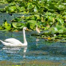
    Mute Swan, Squacco Heron, and Coot in beds of Nymphaea alba at Lake Kartal
    Lake Kartal at the point of its connection with Lake Kugurlui
    Aquatic vegetation of Lake Kartal

    Kartal Lake

    • Country: 
      Ukraine
    • Designation date: 
      28-02-1997
    • Site number: 
      761
    • Published since: 
      1 year(s)
    2,141 ha

Pages

Stats


Exports

Export Sites information

For a summary list of all the Ramsar Sites in pdf format, click here.

Generate reports of selected Sites

You can generate a report based on the filters you have applied, in either pdf or xls format. The report will sort the results by the Site name, unless you have sorted them by another variable.

For the pdfs, you can choose whether to include the introductory text on each Site, or just show the key data in a shorter report.

To receive a report, please provide your email address and enter the text in the verification picture into the textbox.

As soon as the list has been generated an e-mail will be sent to you with the link to access the file.