Search results

Map

Choose map: | | Download Centroids / Boundaries / Map (pdf)
Materials presented on this website, particularly maps and territorial information, are as-is and as-available based on available data and do not imply the expression of any opinion whatsoever on the part of the Secretariat of the Ramsar Convention concerning the legal status of any country, territory, city or area, or of its authorities, or concerning the delimitation of its frontiers or boundaries.

List

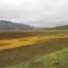
  1. Tanamunningen Nature Reserve, view of the mountain Giemaš.
    Tanamunningen.
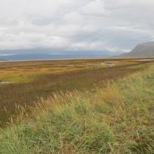
    Tanamunningen, view towards Tanafjorden.
    Tanamunningen, view towards Benjaminsbukta
    Tanamunningen, view towards Gullholmen.

    Tanamunningen

    • Country: 
      Norway
    • Designation date: 
      06-08-2002
    • Site number: 
      1197
    • Published since: 
      6 year(s)
    3,409 ha
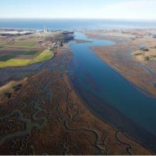
  2. Overhead Photo
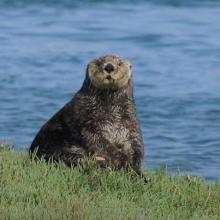
    Otter
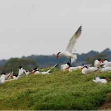
    Turns
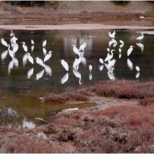
    Great Egrit
    Shore Birds
    Oyster Restoration Reef
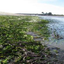
    Eel Grass Bed

    Elkhorn Slough

    • Country: 
      United States of America
    • Designation date: 
      25-06-2018
    • Site number: 
      2345
    • Published since: 
      5 year(s)
    724 ha
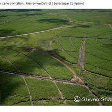
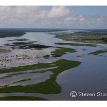
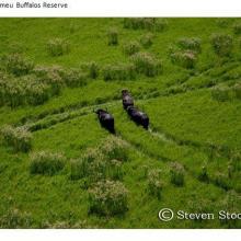
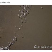
  3. Marromeu
    Marromeu
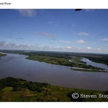
    Zambezi
    Marromeu
    Zambezi
    Marromeu
    Zambezi
    Zambezi

    Zambezi Delta

    • Country: 
      Mozambique
    • Designation date: 
      03-08-2004
    • Site number: 
      1391
    • Published since: 
      8 year(s)
    3,171,172 ha
  4. Zones humides, forêts, Rivières et ressources du site

    Ngiri-Tumba-Maindombe

    • Country: 
      Democratic Republic of the Congo
    • Designation date: 
      24-07-2008
    • Site number: 
      1784
    • Published since: 
      6 year(s)
    6,569,624 ha
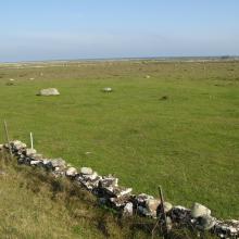
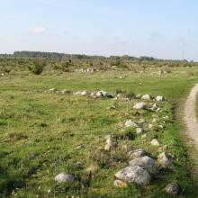
  5. The southern sub site. Well grazed wetland close to shore
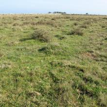
    The southern sub site. Well grazed Dasiphora fruticosa
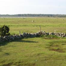
    The central sub site. Grazed wetland near the shoreline
    The central sub site. Dryer land with occurrence of bush dominated by Juniperus communis ssp. communis
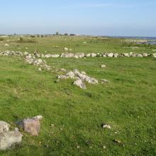
    The northern sub site. Well managed wetland.
    The northern sub site. A small ditch is crossing the wetland.

    Ölands ostkust

    • Country: 
      Sweden
    • Designation date: 
      05-12-1974
    • Site number: 
      18
    • Published since: 
      5 year(s)
    10,718 ha
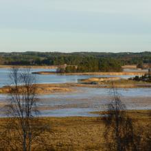
  6. The waterfront in Svensksundsviken.
    View over the bay of Svensksundsviken to the east.

    Svensksundsviken-Ållonöfjärden

    • Country: 
      Sweden
    • Designation date: 
      14-11-2001
    • Site number: 
      1128
    • Published since: 
      5 year(s)
    3,529 ha
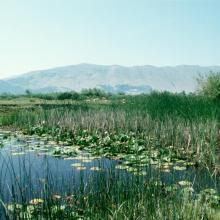
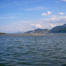
  7. Lake Shkodra and River Buna Ramsar Site
    Lake Shkodra and River Buna Ramsar Site
    Lake Shkodra and River Buna Ramsar Site

    Lake Shkodra and River Buna

    • Country: 
      Albania
    • Designation date: 
      02-02-2006
    • Site number: 
      1598
    • Published since: 
      18 year(s)
    49,562 ha
  8. Forêt sèche en bordure du lac Ravelobe
    Haliaeetus vociferoides
    Lac Ankomakoma
    Lac Antsilomba
    Lac Matsaboribiby
    Lac Ravelobe
    Lac Tsimaloto
    Haliaeetus vociferoides

    Zones Humides Ankarafantsika (CLSA)

    • Country: 
      Madagascar
    • Designation date: 
      02-02-2017
    • Site number: 
      2289
    • Published since: 
      7 year(s)
    33,145 ha
  9. Tanne rencontré avant les mangroves
    Mangroves de Sahamalaza
    Baie de Sahamalaza
    Baie de Sahamalaza

    Zones Humides de Sahamalaza

    • Country: 
      Madagascar
    • Designation date: 
      02-02-2017
    • Site number: 
      2288
    • Published since: 
      7 year(s)
    24,049 ha
  10. Shwe Mit Zu Pagoda
    Sarus Crane
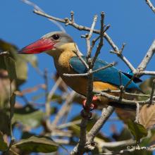
    Stork-billed Kingfisher
    Tufted Duck
    Little Green Bee-eater
    Glossy Ibis
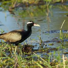
    Bronze-winged Jacana
    Asian Openbill
    Purple Heron

    Indawgyi Wildlife Sanctuary

    • Country: 
      Myanmar
    • Designation date: 
      02-02-2016
    • Site number: 
      2256
    • Published since: 
      8 year(s)
    47,884 ha

Pages

Stats


Exports

Export Sites information

For a summary list of all the Ramsar Sites in pdf format, click here.

Generate reports of selected Sites

You can generate a report based on the filters you have applied, in either pdf or xls format. The report will sort the results by the Site name, unless you have sorted them by another variable.

For the pdfs, you can choose whether to include the introductory text on each Site, or just show the key data in a shorter report.

To receive a report, please provide your email address and enter the text in the verification picture into the textbox.

As soon as the list has been generated an e-mail will be sent to you with the link to access the file.