Search results

Map

Choose map: | | Download Centroids / Boundaries / Map (pdf)
Materials presented on this website, particularly maps and territorial information, are as-is and as-available based on available data and do not imply the expression of any opinion whatsoever on the part of the Secretariat of the Ramsar Convention concerning the legal status of any country, territory, city or area, or of its authorities, or concerning the delimitation of its frontiers or boundaries.

List

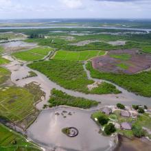
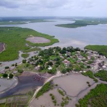
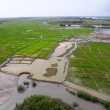
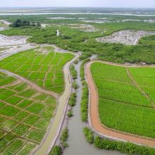
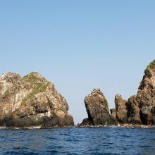
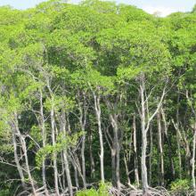
  1. vue aerienne de PNTC
    vue aerienne de PNTC
    vue aerienne de PNTC
    vue aerienne de PNTC
    vue aerienne de PNTC
    vue aerienne de PNTC
    vue aerienne de PNTC

    Parc Naturel des Mangroves du Fleuve Cacheu (PNTC)

    • Country: 
      Guinea-Bissau
    • Designation date: 
      22-05-2015
    • Site number: 
      2229
    • Published since: 
      8 year(s)
    88,615 ha
  2. Parque Nacional Jeanette Kawas
    Parque Nacional Jeanette Kawas
    Parque Nacional Jeanette Kawas
    Parque Nacional Jeanette Kawas
    Parque Nacional Jeanette Kawas
    Parque Nacional Jeanette Kawas
    Parque Nacional Jeanette Kawas

    Parque Nacional Jeanette Kawas

    • Country: 
      Honduras
    • Designation date: 
      28-03-1995
    • Site number: 
      722
    • Published since: 
      2 year(s)
    79,382 ha
  3. River Emajõgi

    Peipsiveere

    • Country: 
      Estonia
    • Designation date: 
      05-06-1997
    • Site number: 
      906
    • Published since: 
      2 year(s)
    34,610 ha
  4. The waterlogged floodplain of the Buh River

    Polesye Valley of River Bug

    • Country: 
      Belarus
    • Designation date: 
      29-05-2014
    • Site number: 
      2252
    • Published since: 
      8 year(s)
    23,159 ha
  5. Most of the site is sitiated in the Pripyat River floodplain
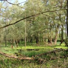
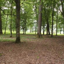
    Floodplain oak woods are very valuable biotopes.
    Large raised bogs are unique biotopes for Polesie region
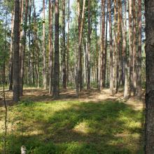
    Old-aged pine forests preserved on sand dunes among mires.
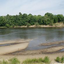
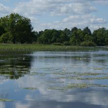
    Owbows in the Pripyat River floodplain.
    Owbows in the Pripyat River floodplain.
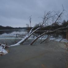
    Almost annually the Pripyat floodplain and adjacent villages get flooded.
    Almost annually the Pripyat floodplain and adjacent villages get flooded.

    Pripyatsky National Park

    • Country: 
      Belarus
    • Designation date: 
      29-03-2013
    • Site number: 
      2197
    • Published since: 
      3 year(s)
    88,553 ha
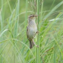
  6. Acrocephalus paludicola
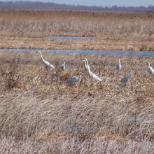
    Egretta alba
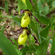
    Cypripedium calceolus
    Lake Liubyaz
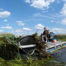
    Removal of problematic vegetation on the Pripyat River
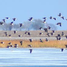
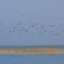
    Spring concentration of migrated water birds
    Swamp renaturalization in the key habitat of aquatic warbler

    Prypiat River Floodplains

    • Country: 
      Ukraine
    • Designation date: 
      28-02-1997
    • Site number: 
      776
    • Published since: 
      2 year(s)
    37,568 ha
  7. Reentrancias Maranhenses

    Reentrancias Maranhenses

    • Country: 
      Brazil
    • Designation date: 
      30-11-1993
    • Site number: 
      640
    • Published since: 
      2 year(s)
    2,680,911 ha
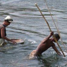
  8. Rivière Nosivolo et affluents (District Mahanoro et Marolambo)
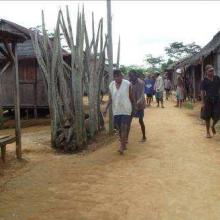
    Rivière Nosivolo et affluents (District Mahanoro et Marolambo)
    Rivière Nosivolo et affluents (District Mahanoro et Marolambo)
    Rivière Nosivolo et affluents (District Mahanoro et Marolambo)
    Site Ramsar ‘Rivière Nosivolo et affluents’
    Site Ramsar ‘Rivière Nosivolo et affluents’
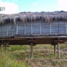
    Grenier familial à Nosivolo
    ‘Jiro’ à Nosivolo
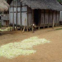
    Maison traditionnelle à Nosivolo avec séchage de Raphia
    Anas erythrorhyncha et Dendrocygna viduata
    Destruction des marécages (forêt de raphia) par l’orpaillage et la construction de la rizière
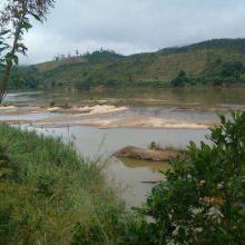
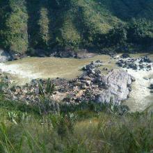
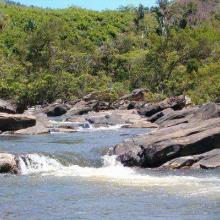
    Eau rapide et rocailleux de la rivière
    Eau calme
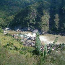
    Paysage de la rivière Nosivolo avec des terrains de culture vivrière sur  le bassin versant

    Rivière Nosivolo et affluents

    • Country: 
      Madagascar
    • Designation date: 
      17-09-2010
    • Site number: 
      1916
    • Published since: 
      7 year(s)
    358,511 ha
  9. Groupe de chasseurs de kiniébakoro surveillant la zone de frayeur des poissons.
    La marre de Sabadou Baranama
    Vue de Maniankô
    Vue de kiniébakora

    Sankarani-Fié

    • Country: 
      Guinea
    • Designation date: 
      17-01-2002
    • Site number: 
      1167
    • Published since: 
      7 year(s)
    1,656,000 ha
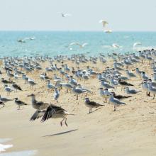
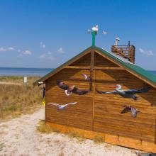
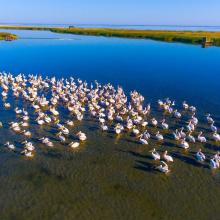
  10. Birds in the estuaries
    Birds in the estuaries
    Burnas
    Eco-educational center
    Birds in the estuaries
    Birds in the estuaries
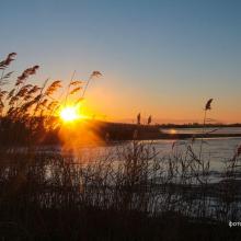
    Tuzly Limans. Autumn
    Birds in the estuaries
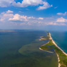
    A sand spit of Tuzlivski Limans

    Shagany-Alibei-Burnas Lakes System

    • Country: 
      Ukraine
    • Designation date: 
      28-02-1997
    • Site number: 
      763
    • Published since: 
      1 year(s)
    27,600 ha

Pages

Stats


Exports

Export Sites information

For a summary list of all the Ramsar Sites in pdf format, click here.

Generate reports of selected Sites

You can generate a report based on the filters you have applied, in either pdf or xls format. The report will sort the results by the Site name, unless you have sorted them by another variable.

For the pdfs, you can choose whether to include the introductory text on each Site, or just show the key data in a shorter report.

To receive a report, please provide your email address and enter the text in the verification picture into the textbox.

As soon as the list has been generated an e-mail will be sent to you with the link to access the file.