Search results

Map

Choose map: | | Download Centroids / Boundaries / Map (pdf)
Materials presented on this website, particularly maps and territorial information, are as-is and as-available based on available data and do not imply the expression of any opinion whatsoever on the part of the Secretariat of the Ramsar Convention concerning the legal status of any country, territory, city or area, or of its authorities, or concerning the delimitation of its frontiers or boundaries.

List

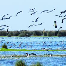
  1. View of Bujagh-Caspian sea
    Flock of Vanellus gregarius (Sociable Lapwing)
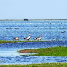
    Anser anser in Bujagh wetland

    Bujagh National Park

    • Country: 
      Iran (Islamic Republic of)
    • Designation date: 
      23-06-1975
    • Site number: 
      46
    • Published since: 
      1 year(s)
    3,433 ha
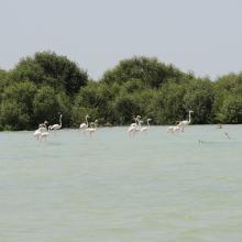
  2. Flamingos against the backdrop of Abu Dhabi city
    Flamingos with Mangroves in the background

    Bul Syayeef

    • Country: 
      United Arab Emirates
    • Designation date: 
      27-09-2016
    • Site number: 
      2293
    • Published since: 
      6 year(s)
    14,504 ha
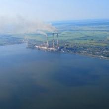
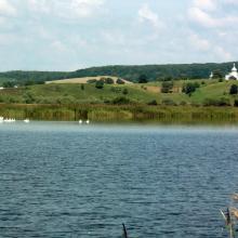
  3. View of the south-western part of the reservoir and Burshtyn thermal power station
    A view of the pond for commercial fishery (in the background – Kuropatnyky Village).
    A view of the north-eastern bank of the reservoir (in the background – country cottages, a forest, and Kasova Mountain (Halytskyi NNP).
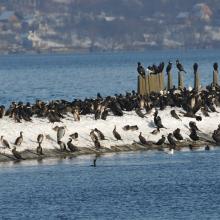
    Flocks of birds in winter.
    Flocks of birds in winter.
    Flocks of birds in winter.
    Flocks of swans.

    Burshtyn Water Reservoir

    • Country: 
      Ukraine
    • Designation date: 
      20-03-2019
    • Site number: 
      2393
    • Published since: 
      4 year(s)
    1,260 ha
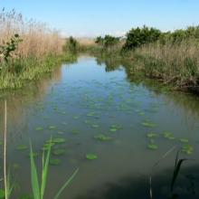
  4. Palude del Busatello
    Palude del Busatello
    Palude del Busatello

    Busatello marsh

    • Country: 
      Italy
    • Designation date: 
      03-10-2017
    • Site number: 
      2315
    • Published since: 
      6 year(s)
    443 ha
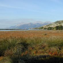
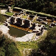
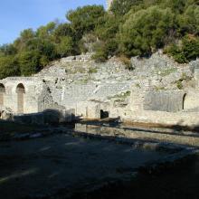
  5. Butrint
    Butrint
    Butrint
    Butrint
    Butrint

    Butrint

    • Country: 
      Albania
    • Designation date: 
      28-03-2003
    • Site number: 
      1290
    • Published since: 
      21 year(s)
    13,500 ha
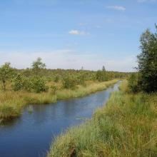
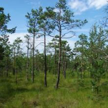
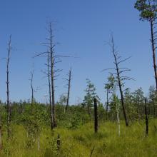
  6. Berezyna river
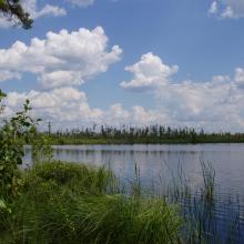
    Lake Byle
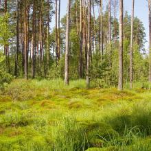
    Mezotrophic part of Koza mire
    Oligotrophic part of Koza mire

    Byle Lake and Koza Berezyna Mire

    • Country: 
      Ukraine
    • Designation date: 
      24-12-2013
    • Site number: 
      2281
    • Published since: 
      7 year(s)
    8,036 ha
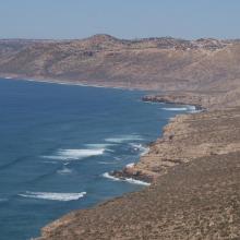
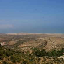
  7. Dunes vives au nord de Tamri
    Falaises littorales au Nord d’Imsouane
    Zone littorale de Tildi
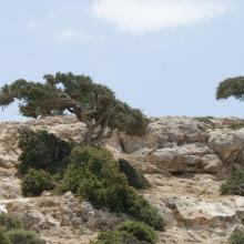
    Arganiers en drapeaux dans le col de Taboga
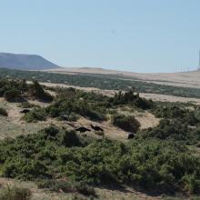
    Aire de gagnage de l'Ibis chauve : steppe littorale près de Tamri
    Aire de gagnage de l'Ibis chauve : steppe littorale près de Tamri
    Grottes de Cap Ghir
    Arganeraie et végétation macaronésienne à Euphorbes
    Stationnement hivernal de milliers de Laridés sur la 'plage' de Tamri

    Cap Ghir-Imsouane

    • Country: 
      Morocco
    • Designation date: 
      16-04-2019
    • Site number: 
      2373
    • Published since: 
      4 year(s)
    6,800 ha
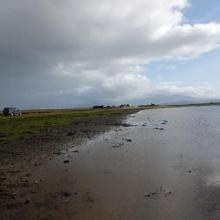
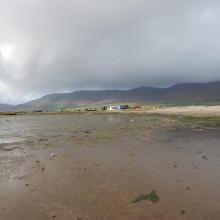
  8. Castlemaine Harbour
    Castlemaine Harbour
    Castlemaine Harbour
    Castlemaine Harbour
    Castlemaine Harbour

    Castlemaine Harbour

    • Country: 
      Ireland
    • Designation date: 
      30-05-1990
    • Site number: 
      470
    • Published since: 
      2 year(s)
    2,973 ha
  9. Abu Zirig Marsh/Central Marsh/ 
 Al-Nasiryah
    AL-Baghdadiya/ Central marsh/ Al-Nasiryah

    Central Marshes

    • Country: 
      Iraq
    • Designation date: 
      07-04-2014
    • Site number: 
      2241
    • Published since: 
      8 year(s)
    219,700 ha
  10. Cheremske Bog
    Cheremske Bog and Lake Cheremske
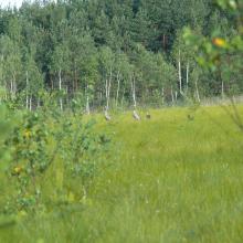
    Cranes
    Lake Cheremske
    Cheremske Bog with Osprey nest
    Swampy forest

    Cheremske Bog

    • Country: 
      Ukraine
    • Designation date: 
      24-12-2013
    • Site number: 
      2272
    • Published since: 
      7 year(s)
    2,976 ha

Pages

Stats


Exports

Export Sites information

For a summary list of all the Ramsar Sites in pdf format, click here.

Generate reports of selected Sites

You can generate a report based on the filters you have applied, in either pdf or xls format. The report will sort the results by the Site name, unless you have sorted them by another variable.

For the pdfs, you can choose whether to include the introductory text on each Site, or just show the key data in a shorter report.

To receive a report, please provide your email address and enter the text in the verification picture into the textbox.

As soon as the list has been generated an e-mail will be sent to you with the link to access the file.