Search results

Map

Choose map: | | Download Centroids / Boundaries / Map (pdf)
Materials presented on this website, particularly maps and territorial information, are as-is and as-available based on available data and do not imply the expression of any opinion whatsoever on the part of the Secretariat of the Ramsar Convention concerning the legal status of any country, territory, city or area, or of its authorities, or concerning the delimitation of its frontiers or boundaries.

List

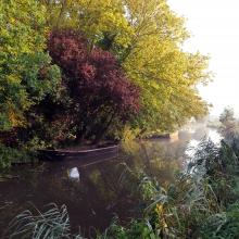
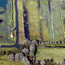
  1. paysage du marais
    moulin et gestion hydraulique
    les maisons sur les îles
    vol de cygnes au dessus d'une rivière
    Saules têtards sous la neige

    Le Marais audomarois

    • Country: 
      France
    • Designation date: 
      15-09-2008
    • Site number: 
      1835
    • Published since: 
      6 year(s)
    3,726 ha
  2. Ramsar logo

    Rotmoos im Fuschertal

    • Country: 
      Austria
    • Designation date: 
      16-02-1995
    • Site number: 
      719
    • Published since: 
      21 year(s)
    58 ha
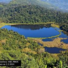
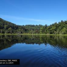
  3. picturesque view of Pala wetland
    Pala wetland
    Pala wetland
    Pala wetland reserve
    Pala wetland reserve

    Pala Wetland

    • Country: 
      India
    • Designation date: 
      31-08-2021
    • Site number: 
      2484
    • Published since: 
      1 year(s)
    1,850 ha
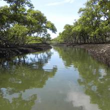
  4. Towra Point Ramsar site - mangrove lined channel
    Towra Point Ramsar site
    Elephants trunk at Towra  - showing erosion at the site
    Little Tern

    Towra Point

    • Country: 
      Australia
    • Designation date: 
      21-02-1984
    • Site number: 
      286
    • Published since: 
      1 year(s)
    632 ha
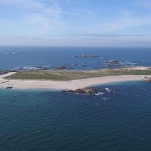
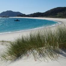
  5. Isla de Cíes. Playa con Amophila arenaria
    Isla de Cíes. Laguna costera
    Isla de Cíes. Percebes
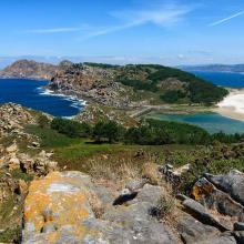
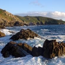
    Isla de Ons. Acantilados costeros
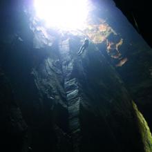
    Isla de Ons. Cuevas de Gavotos
    Isla de Ons. Cueva Burato do Inferno
    Isla de Ons. Camino con sauces
    Isla de Sálvora. Panorámica
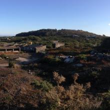
    Isla de Sálvora. Aldea
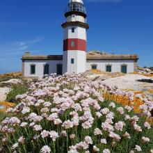
    Isla de Sálvora. Faro y Armeria en flor
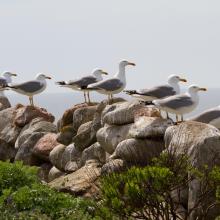
    Isla de Sálvora. Gaviotas patiamarillas
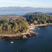
    Isla de Cortegada. Panorámica
    Isla de Cortegada. Bosque
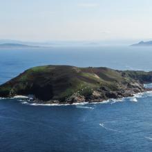
    Isla de Onza. Panorámica
    Isla de Vionta. Panorámica
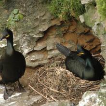
    Pareja de cormorán moñudo (PN Marítimo-Terrestre de las Islas Atlánticas de Galicia)
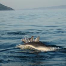
    Delphinus delphis (PN Marítimo-Terrestre de las Islas Atlánticas de Galicia)

    Parque Nacional Marítimo-Terrestre de las Islas Atlánticas de Galicia

    • Country: 
      Spain
    • Designation date: 
      22-05-2021
    • Site number: 
      2453
    • Published since: 
      2 year(s)
    8,543 ha
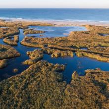
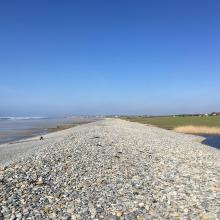
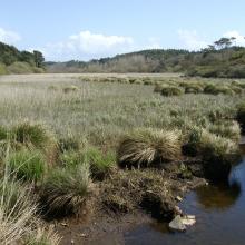
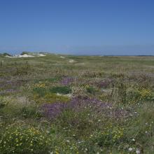
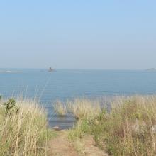
  6. Roselière de Trunvel
    Cordon de galets à Plovan "Ero vili"
    Queue d'étang de Trunvel
    Dune grise

    Baie d'Audierne

    • Country: 
      France
    • Designation date: 
      04-09-2021
    • Site number: 
      2460
    • Published since: 
      2 year(s)
    2,396 ha
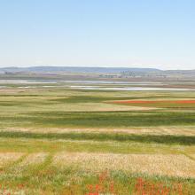
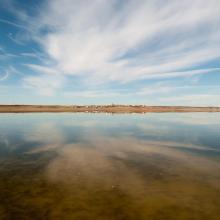
  7. Panorámica de la laguna de El Hito
    Panorámica de la laguna de El Hito en invierno
    Panorámica de la laguna de El Hito en verano
    Empusa pennata en la laguna de El Hito
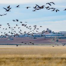
    Bando de grullas sobrevolando la laguna de El Hito
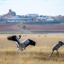
    Grullas con la localidad de El Hito al fondo
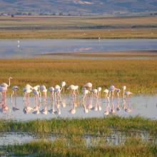
    Grupo de flamencos comunes en laguna de El Hito

    Laguna de El Hito

    • Country: 
      Spain
    • Designation date: 
      20-12-2002
    • Site number: 
      1259
    • Published since: 
      1 year(s)
    573 ha
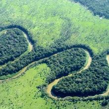
  8. Vista aérea del Río Pilcomayo
    Sabana con palmar
    Atardecer en la Laguna Blanca
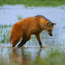
    Agaurá guazú. Crysocyon brachyurus

    Parque Nacional Río Pilcomayo

    • Country: 
      Argentina
    • Designation date: 
      04-05-1992
    • Site number: 
      557
    • Published since: 
      2 year(s)
    51,889 ha
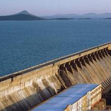
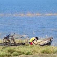
  9. Hirakud Reservoir
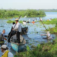
    Fishing Boats
    Submerged Temple
    Landscape

    Hirakud Reservoir

    • Country: 
      India
    • Designation date: 
      12-10-2021
    • Site number: 
      2494
    • Published since: 
      1 year(s)
    65,400 ha
  10. Anguila_Synbranchus marmoratus
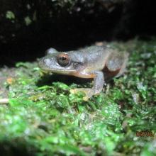
    Ptychohyla salvadorensis_El Jocotal
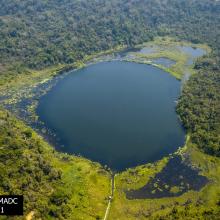
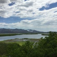
    Panorámica_Laguna El Jocotal
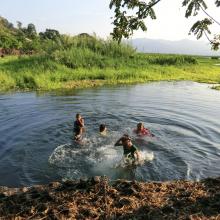
    Personas dentro de la laguna
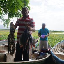
    Pescadores El Jocotal
    Remoción de Jacinto de Agua_2
    Remoción de Jacinto de Agua_1
    Ardea alba, Egretta thula, E. caerulea, Nycticorax nycticorax
    Rostrhamus sociabilis

    Area Natural Protegida Laguna del Jocotal

    • Country: 
      El Salvador
    • Designation date: 
      22-01-1999
    • Site number: 
      970
    • Published since: 
      2 year(s)
    4,479 ha

Pages

Stats


Exports

Export Sites information

For a summary list of all the Ramsar Sites in pdf format, click here.

Generate reports of selected Sites

You can generate a report based on the filters you have applied, in either pdf or xls format. The report will sort the results by the Site name, unless you have sorted them by another variable.

For the pdfs, you can choose whether to include the introductory text on each Site, or just show the key data in a shorter report.

To receive a report, please provide your email address and enter the text in the verification picture into the textbox.

As soon as the list has been generated an e-mail will be sent to you with the link to access the file.