Search results

Map

Choose map: | | Download Centroids / Boundaries / Map (pdf)
Materials presented on this website, particularly maps and territorial information, are as-is and as-available based on available data and do not imply the expression of any opinion whatsoever on the part of the Secretariat of the Ramsar Convention concerning the legal status of any country, territory, city or area, or of its authorities, or concerning the delimitation of its frontiers or boundaries.

List

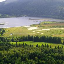
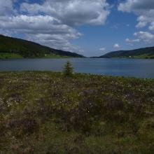
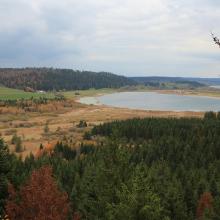
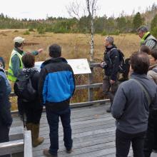
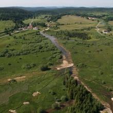
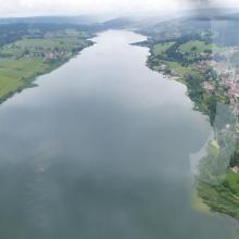
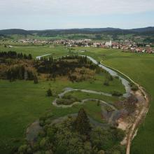
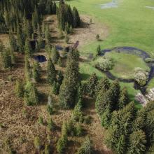
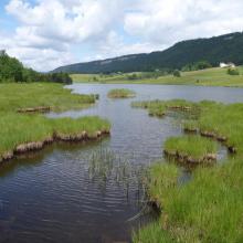
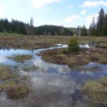
  1. Lac de Bouverans et marais du Varot
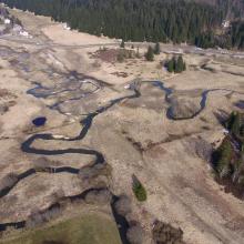
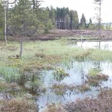
    Tourbière et lac des Rousses - Vallée de l'Orbe
    Restauration des Bief du Nanchez et de Trémontagne - Future RNR des tourbières du Nanchez
    Belvédère des 2 lacs (Remoray/St-Point)
    Tourbière active de Frasne
    Marais du Châtelet après reméandrement de la Lemme - Grandvaux
    lac Saint-Point
    Source du Doubs et tourbière du Moutat - Mouthe
    Tourbières du Moutat, Haut-marais et tremblants - Mouthe
    Tourbière du Bief Belin restaurée (Malpas)
    Tourbière et Lac des Mortes - Chapelle-des-Bois
    Gouilles de Haut-Marais, tourbière de la Chaumoz - Chapelle-des-Bois
    Gouilles de haut-marais de la Seigne des Barbouillons

    Tourbières et lacs de la Montagne jurassienne

    • Country: 
      France
    • Designation date: 
      02-02-2003
    • Site number: 
      1266
    • Published since: 
      3 year(s)
    12,156 ha
  2. Ohrid lake and Studencisko blato
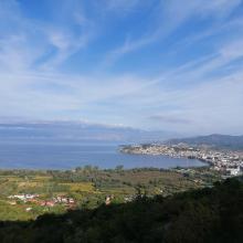
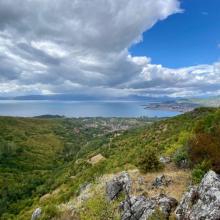
    Ohrid lake
    Ohrid lake

    Lake Ohrid

    • Country: 
      North Macedonia
    • Designation date: 
      15-02-2021
    • Site number: 
      2449
    • Published since: 
      2 year(s)
    25,205 ha
  3. Ramsar logo

    Rhin Supérieur / Oberrhein

    • Country: 
      France
    • Designation date: 
      05-09-2008
    • Site number: 
      1810
    • Published since: 
      15 year(s)
    22,413 ha
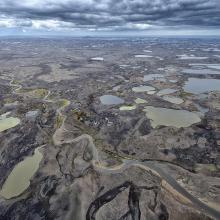
  4. Anse du Gros Ventre - Péninsule Rallier du Batty - Kerguelen
    Est de la Péninsule Courbet - Kerguelen
    Plateau des Tourbières - île Amsterdam
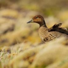
    Canard d'Eaton
    Albatros d'Amsterdam
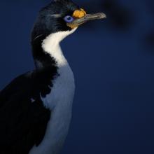
    Cormoran de Kerguelen
    Val Studer - îles Kerguelen

    Réserve naturelle nationale des Terres australes francaises

    • Country: 
      France (outre-mer)
    • Designation date: 
      15-09-2008
    • Site number: 
      1837
    • Published since: 
      5 year(s)
    2,337,100 ha
  5. Rottige Meenthe en Brandemeer

    Rottige Meenthe and Brandemeer

    • Country: 
      Netherlands (Kingdom of the)
    • Designation date: 
      29-08-2000
    • Site number: 
      1277
    • Published since: 
      1 year(s)
    1,369 ha
  6. -

    Duinen Vlieland

    • Country: 
      Netherlands (Kingdom of the)
    • Designation date: 
      29-08-2000
    • Site number: 
      2216
    • Published since: 
      1 year(s)
    1,484 ha
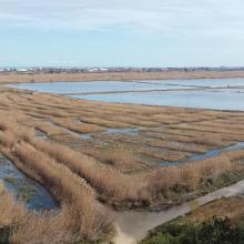
  7. Vue aérienne du site Ramsar (PNRFO)
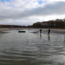
    Activités économiques : pêche (CELRL)
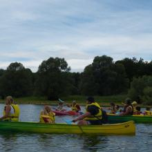
    Activités touristiques : canoés (PNRFO)
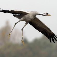
    Richesse écologique du site : Grue cendrée (C. Thomasson)
    Aires protégées : RNN étang de la Horre (CENCA)
    Types de milieux : mare et prairie (PNRFO)

    Etangs de la Champagne humide

    • Country: 
      France
    • Designation date: 
      05-04-1991
    • Site number: 
      514
    • Published since: 
      4 year(s)
    255,800 ha
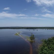
  8. Flood in retention zone of Lonjsko Polje
    Leucojo aestivum - angustifoliae forest
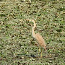
    Ardea purpurea
    Coexistence between humans and nature, Gračansko Field
    Mužilovčica oxbow
    Poganovo Field
    Marsilea quadrifolia
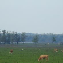
    Grazing
    Platalea leucorodia
    Ciconia nigra
    Flood
    Flood in Lonjsko Polje
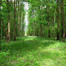
    Riperian forest
    Flood
    Riperian forest in flood period
    Flood in retention zone and flood defense system
    Repušničko Field

    Lonjsko Polje Nature Park

    • Country: 
      Croatia
    • Designation date: 
      02-11-1992
    • Site number: 
      584
    • Published since: 
      4 year(s)
    51,218 ha
  9. Poda site
    Poda site
    Poda site, cormorants
    Poda site, swans
    Nature Conservation Centre Poda - http://bspb.org/poda/en/index.html
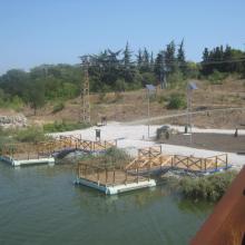
    Nature Conservation Centre Poda - http://bspb.org/poda/en/index.html
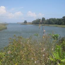
    Poda Wetland
    Poda site, near the conservation centre. In the foreground is the invasive species Ailanthus altissima
    Nature Conservation Centre Poda - http://bspb.org/poda/en/index.html
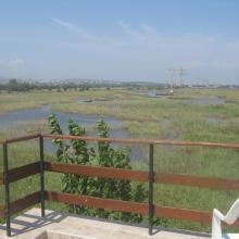
    Poda

    • Country: 
      Bulgaria
    • Designation date: 
      24-09-2002
    • Site number: 
      1228
    • Published since: 
      4 year(s)
    307 ha
  10. Marjal de Pego-Oliva. Vista general del desde el norte
    Marjal de Pego-Oliva. Vista general del desde el sur
    Marjal de Pego-Oliva. Detalle de una surgencia de agua subterránea
    Marjal de Pego-Oliva. Laboreo del arrozal

    Marjal de Pego-Oliva

    • Country: 
      Spain
    • Designation date: 
      04-10-1994
    • Site number: 
      708
    • Published since: 
      3 year(s)
    1,255 ha

Pages

Stats


Exports

Export Sites information

For a summary list of all the Ramsar Sites in pdf format, click here.

Generate reports of selected Sites

You can generate a report based on the filters you have applied, in either pdf or xls format. The report will sort the results by the Site name, unless you have sorted them by another variable.

For the pdfs, you can choose whether to include the introductory text on each Site, or just show the key data in a shorter report.

To receive a report, please provide your email address and enter the text in the verification picture into the textbox.

As soon as the list has been generated an e-mail will be sent to you with the link to access the file.