Search results
Search found 98 Ramsar Sites covering 2,443,435 ha
- (-) Remove Wetland type: Human-made wetlands filter Wetland type: Human-made wetlands
- (-) Remove Ecosystem services: Provisioning Services filter Ecosystem services: Provisioning Services
- (-) Remove Region/country: Europe filter Region/country: Europe
- (-) Remove Threats: Natural system modifications filter Threats: Natural system modifications
- (-) Remove Ramsar criteria: 6 filter Ramsar criteria: 6
- (-) Remove Ramsar criteria: 3 filter Ramsar criteria: 3
Map
Materials presented on this website, particularly maps and territorial information, are as-is and as-available based on available data and do not imply the expression of any opinion whatsoever on the part of the Secretariat of the Ramsar Convention concerning the legal status of any country, territory, city or area, or of its authorities, or concerning the delimitation of its frontiers or boundaries.
List
-


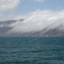


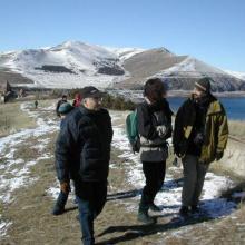

Lake Sevan
-
Country:Armenia
-
Designation date:07-06-1993
-
Site number:620
-
Published since:13 year(s)
490,231 ha -
-

Sapais de Castro Marim
-
Country:Portugal
-
Designation date:08-05-1996
-
Site number:829
-
Published since:27 year(s)
2,235 ha -
-
Lake Manych-Gudilo
-
Country:Russian Federation
-
Designation date:13-09-1994
-
Site number:673
-
Published since:27 year(s)
112,600 ha -
-
Gornje Podunavlje
-
Country:Serbia
-
Designation date:13-11-2007
-
Site number:1737
-
Published since:16 year(s)
22,480 ha -
-
Labudovo okno
-
Country:Serbia
-
Designation date:19-03-2006
-
Site number:1655
-
Published since:17 year(s)
3,733 ha -
-
Slano Kopovo
-
Country:Serbia
-
Designation date:14-05-2004
-
Site number:1392
-
Published since:19 year(s)
976 ha -
-
Unterer Niederrhein
-
Country:Germany
-
Designation date:28-10-1983
-
Site number:279
-
Published since:32 year(s)
25,000 ha -
-

Rétszilas Fishponds Nature Conservation Area
-
Country:Hungary
-
Designation date:30-04-1997
-
Site number:899
-
Published since:6 year(s)
1,494 ha -
-

Malpais/Sint Michiel
-
Country:Netherlands (Kingdom of the) (Curaçao)
-
Designation date:05-02-2013
-
Site number:2117
-
Published since:11 year(s)
1,100 ha -
-


Baie d'Audierne
-
Country:France
-
Designation date:04-09-2021
-
Site number:2460
-
Published since:2 year(s)
2,396 ha -