Search results

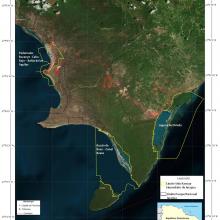
Map

Choose map: | | Download Centroids / Boundaries / Map (pdf)
Materials presented on this website, particularly maps and territorial information, are as-is and as-available based on available data and do not imply the expression of any opinion whatsoever on the part of the Secretariat of the Ramsar Convention concerning the legal status of any country, territory, city or area, or of its authorities, or concerning the delimitation of its frontiers or boundaries.

List

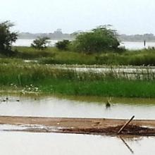
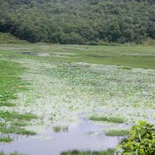
  1. Vue berge
    Vue berge
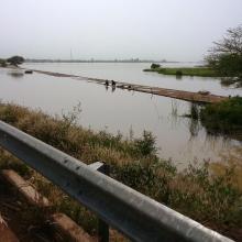
    Tougouri
    Tougouri
    Tougouri
    Tougouri
    Tougouri
    Tougouri
    Tougouri
    Tougouri

    Barrage de Tougouri

    • Country: 
      Burkina Faso
    • Designation date: 
      02-02-2016
    • Site number: 
      2253
    • Published since: 
      8 year(s)
    1,221 ha
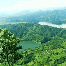
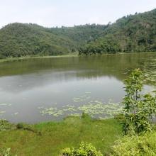
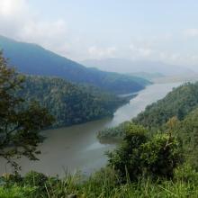
  2. Beauty of Begnas and Rupa Lake
    Dipang Lake
    Gude Lake
    Khaste Lake
    Phewa Lake
    Rupa Lake
    Niurini Lake
    Maidi Lake
    Sunset in Begnas Lake

    Lake Cluster of Pokhara Valley

    • Country: 
      Nepal
    • Designation date: 
      02-02-2016
    • Site number: 
      2257
    • Published since: 
      8 year(s)
    26,106 ha
  3. Marais Vernier
    Embouchure de la Risle
    Courtils au marais Vernier

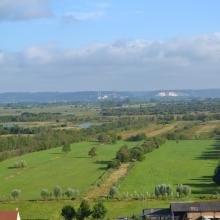
    Marais Vernier et Vallée de la Risle maritime

    • Country: 
      France
    • Designation date: 
      18-12-2015
    • Site number: 
      2247
    • Published since: 
      8 year(s)
    9,564 ha
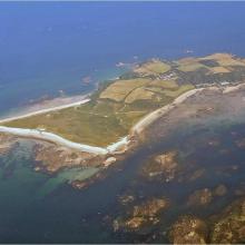
  4. Aerial oblique view of Herm and the Humps
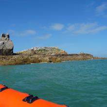
    The Humps, Longue Pierre
    Herm, Jethou and the Humps
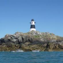
    One of The Humps: Grande Amfroque

    Herm, Jethou and The Humps

    • Country: 
      United Kingdom of Great Britain and Northern Ireland (Crown dependencies)
    • Designation date: 
      19-10-2015
    • Site number: 
      2277
    • Published since: 
      7 year(s)
    1,803 ha
  5. Islas de Diamante, provincia de Entre Ríos
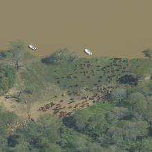
    Islas del Delta del Paraná cerca de puerto Gaboto
    Riacho el Brasilero, provincia de Entre Ríos
    Bosque ribereño
    Cauce principal Río Paraná - Isla El Rico
    Localidad de Diamante y humedales del sitio Ramsar
    Ríos y humedales de Santa Fe
    Ranita del zarzal
    Ranita
    Arroyo La Azotea
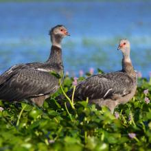
    Chajá
    Pato de collar
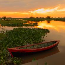
    Canoa nutriera
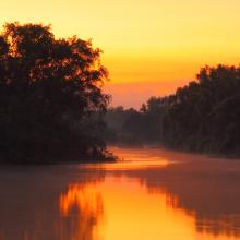
    Luz sobre el río
    Crías de coipo
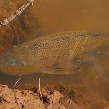
    Vieja de agua
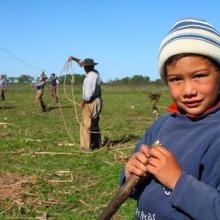
    Pobladores. Familia isleña
    Pobladores
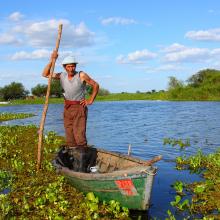
    Islero en canoa
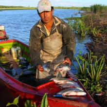
    Percador
    Irupé
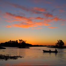
    Timbó blanco al atardacer

    Delta del Paraná

    • Country: 
      Argentina
    • Designation date: 
      03-10-2015
    • Site number: 
      2255
    • Published since: 
      8 year(s)
    243,126 ha
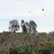
  6. Bird Station at U Minh Thuong Nature Reserve
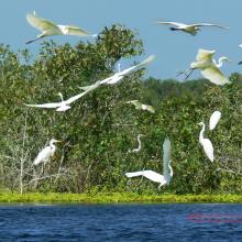
    Little Egret
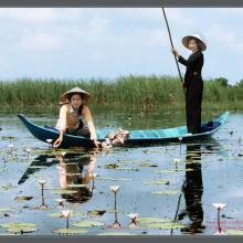
    Locals collecting Nymphaea Nouchali

    U Minh Thuong National Park

    • Country: 
      Viet Nam
    • Designation date: 
      30-04-2015
    • Site number: 
      2228
    • Published since: 
      8 year(s)
    8,038 ha
  7. Convención Ramsar

    Complejo de Humedales de la Estrella Fluvial Inírida (EFI)

    • Country: 
      Colombia
    • Designation date: 
      08-07-2014
    • Site number: 
      2217
    • Published since: 
      9 year(s)
    250,159 ha
  8. República Dominicana

    Humedales de Jaragua

    • Country: 
      Dominican Republic
    • Designation date: 
      04-07-2014
    • Site number: 
      2210
    • Published since: 
      9 year(s)
    32,979 ha
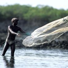
  9. Pêcheur traditionnel
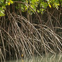
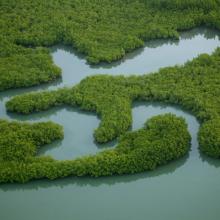
    Mangrove
    Hippopotame
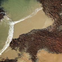
    Littoral, vue aérienne
    Vue aérienne
    Pélican
    Périophtalme
    Vue aérienne
    Oiseaux
    Bébé tortue
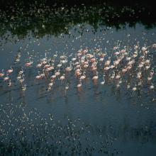
    Flamants
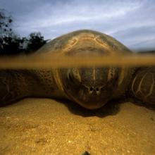
    Tortue marine adulte
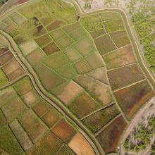
    Rizières
    Village Bijagós, vue aérienne
    Bébé tortue

    Archipel Bolama-Bijagós

    • Country: 
      Guinea-Bissau
    • Designation date: 
      14-01-2014
    • Site number: 
      2198
    • Published since: 
      10 year(s)
    1,046,950 ha
  10. Most of the site is sitiated in the Pripyat River floodplain
    Floodplain oak woods are very valuable biotopes.
    Large raised bogs are unique biotopes for Polesie region
    Old-aged pine forests preserved on sand dunes among mires.
    Owbows in the Pripyat River floodplain.
    Owbows in the Pripyat River floodplain.
    Almost annually the Pripyat floodplain and adjacent villages get flooded.
    Almost annually the Pripyat floodplain and adjacent villages get flooded.

    Pripyatsky National Park

    • Country: 
      Belarus
    • Designation date: 
      29-03-2013
    • Site number: 
      2197
    • Published since: 
      3 year(s)
    88,553 ha

Pages

Stats


Exports

Export Sites information

For a summary list of all the Ramsar Sites in pdf format, click here.

Generate reports of selected Sites

You can generate a report based on the filters you have applied, in either pdf or xls format. The report will sort the results by the Site name, unless you have sorted them by another variable.

For the pdfs, you can choose whether to include the introductory text on each Site, or just show the key data in a shorter report.

To receive a report, please provide your email address and enter the text in the verification picture into the textbox.

As soon as the list has been generated an e-mail will be sent to you with the link to access the file.