Search results

Map

Choose map: | | Download Centroids / Boundaries / Map (pdf)
Materials presented on this website, particularly maps and territorial information, are as-is and as-available based on available data and do not imply the expression of any opinion whatsoever on the part of the Secretariat of the Ramsar Convention concerning the legal status of any country, territory, city or area, or of its authorities, or concerning the delimitation of its frontiers or boundaries.

List

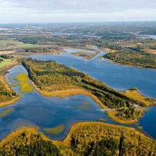
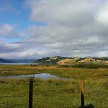
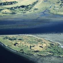
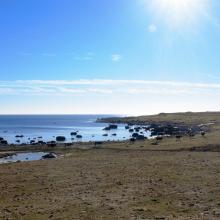
  1. View over Umeälvens delta

    Umeälvens delta

    • Country: 
      Sweden
    • Designation date: 
      12-06-1989
    • Site number: 
      438
    • Published since: 
      7 year(s)
    1,889 ha
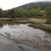
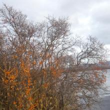
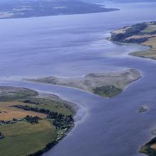
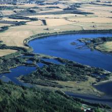
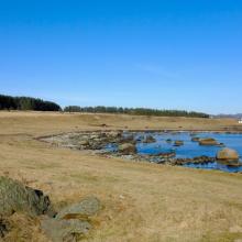
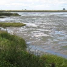
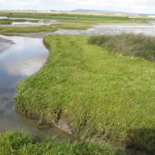
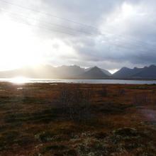
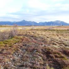
  2. Trondheimsfjorden
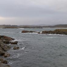
    Trondheimsfjorden
    Trondheimsfjorden
    Trondheimsfjorden
    Trondheimsfjorden
    Trondheimsfjorden
    Trondheimsfjorden
    Bjørga
    Tynesfjæra
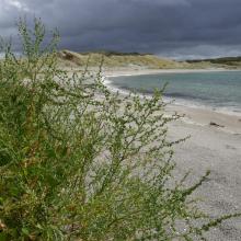
    Sea buckthorn
    Vikaleiret
    Gaulosen seen from the East
    Gaulosen seen from the East
    Gaulosen
    Gaulosen
    Gaulosen, Øyamælen in 2005

    Trondheimfjord wetland system

    • Country: 
      Norway
    • Designation date: 
      06-08-2002
    • Site number: 
      1198
    • Published since: 
      5 year(s)
    1,846 ha
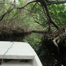
  3. Mangrove creek Lac Baai
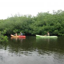
    Canoeing at Lac Baai
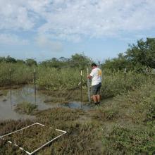
    Fence at Lac Baai to prevent grazing livestock entering the mangroves.
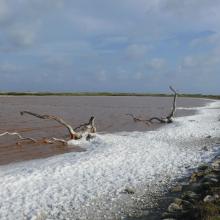
    Salt pan Cai at Lac Baai

    Lac Baai

    • Country: 
      Netherlands (Kingdom of the)
    • Designation date: 
      23-05-1980
    • Site number: 
      199
    • Published since: 
      2 year(s)
    1,550 ha
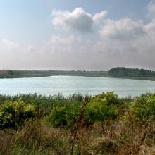
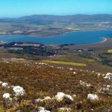
  4. Ramsar logo

    Verlorenvlei

    • Country: 
      South Africa
    • Designation date: 
      28-06-1991
    • Site number: 
      525
    • Published since: 
      32 year(s)
    1,500 ha
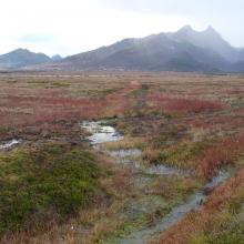
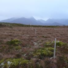
  5. Grunnfjorden
    Grunnfjorden
    Grunnfjorden
    Grunnfjorden
    Grunnfjorden
    Grunnfjorden
    Grunnfjorden
    Grunnfjorden
    Grunnfjorden
    Grunnfjorden
    Grunnfjorden

    Grunnfjorden

    • Country: 
      Norway
    • Designation date: 
      27-05-2013
    • Site number: 
      2147
    • Published since: 
      6 year(s)
    1,472 ha
  6. One pasture in Skälderviken
    The Lagoons in Skälderviken

    Skälderviken

    • Country: 
      Sweden
    • Designation date: 
      14-11-2001
    • Site number: 
      1127
    • Published since: 
      5 year(s)
    1,463 ha
  7. Durankulak Lake
    Durankulak, east side and Black Sea

    Durankulak Lake

    • Country: 
      Bulgaria
    • Designation date: 
      28-11-1984
    • Site number: 
      293
    • Published since: 
      4 year(s)
    1,371 ha
  8. Panoramic of Bot/Kleinmond Estuarine System
    Bot/Kleinmond Estuarine System
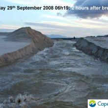
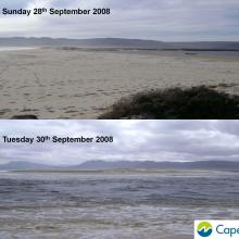
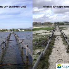
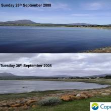
     images of breaching of the Bot River Estuary including pre and post breaching.
    Images of breaching of the Bot River Estuary including pre and post breaching.
    Images of breaching of the Bot River Estuary including pre and post breaching.
    Images of breaching of the Bot River Estuary including pre and post breaching.
    Images of breaching of the Bot River Estuary including pre and post breaching.
    Images of breaching of the Bot River Estuary including pre and post breaching.

    Bot - Kleinmond Estuarine System

    • Country: 
      South Africa
    • Designation date: 
      31-01-2017
    • Site number: 
      2291
    • Published since: 
      7 year(s)
    1,350 ha
  9. From the sub-site Einarsneset in the Winter.
    From the sub-site Einarsneset in the summer.
    Cattle in the sub-site Fuglevika.
    From the sub-site Fuglevika in the Winter.
    From the sub-site Hanangervann og Kråkenes in the Winter.
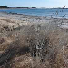
    Beach at sub-site Havika.
    From the sub-site Havika.
    Beach at sub-site Nordhasselvika.
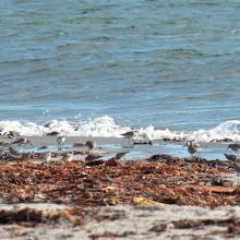
    Common ringed plover and dunlin at the Beach at sub-site Kviljo
    Beach at sub-site Nordhasselvika.
    Beach at sub-site Nordhasselvika.
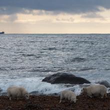
    Sheep at the Beach at sub-site Steinodden
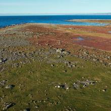
    Aerial photo of sub-site Steinodden.

    Lista Wetlands System

    • Country: 
      Norway
    • Designation date: 
      18-03-1996
    • Site number: 
      804
    • Published since: 
      5 year(s)
    1,173 ha
  10. Lower Berg River Estuary
    Salt marshes - Berg River Estuary
    Lower reaches Berg River Estuary
    Upstream of salt works

    Berg Estuary Ramsar Site

    • Country: 
      South Africa
    • Designation date: 
      01-02-2022
    • Site number: 
      2466
    • Published since: 
      2 year(s)
    1,163 ha

Pages

Stats


Exports

Export Sites information

For a summary list of all the Ramsar Sites in pdf format, click here.

Generate reports of selected Sites

You can generate a report based on the filters you have applied, in either pdf or xls format. The report will sort the results by the Site name, unless you have sorted them by another variable.

For the pdfs, you can choose whether to include the introductory text on each Site, or just show the key data in a shorter report.

To receive a report, please provide your email address and enter the text in the verification picture into the textbox.

As soon as the list has been generated an e-mail will be sent to you with the link to access the file.