

Chott Ech Chergui
- Country:Algeria
- Site number:1052
- Area:855,500 ha
- Designation date:02-02-2001
- Coordinates:34°16'N 00°33'E
Materials presented on this website, particularly maps and territorial information, are as-is and as-available based on available data and do not imply the expression of any opinion whatsoever on the part of the Secretariat of the Ramsar Convention concerning the legal status of any country, territory, city or area, or of its authorities, or concerning the delimitation of its frontiers or boundaries.
Overview
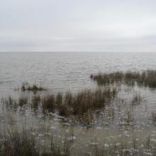
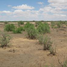
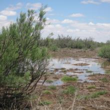
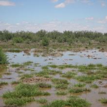
The second largest chott (salt lake) in North Africa, after the Chott Djerid in Tunisia, this vast Site is an extensive closed depression containing permanent and seasonal saline, brackish, and freshwater lakes and pools, as well as hot springs. Its diverse habitats are representative of the Mediterranean region, from steppe areas that are always green to the surroundings of the chott and the sebkhas (salt flats) which are completely without vegetation, as well as purely aquatic lake and marsh vegetation. The site includes wet forest that hosts ferruginous duck (Aythya nyroca) and marbled teal (Marmaronetta angustirostris) which are both vulnerable species. The Site also hosts the vulnerable Houbara bustard and mountain gazelle, and it is an important nesting and wintering site for several migratory waterbird species. Human uses include agriculture and raising of livestock, particularly sheep and camels; the thermal springs offer possibilities for tourism. Overgrazing, poaching, desertification, and deforestation for firewood are seen as potential threats.
Administrative region:
Saïda
- National legal designation:
- none
- Last publication date:09-05-2019
