

Pripyatsky National Park
- Country:Belarus
- Site number:2197
- Area:88,553 ha
- Designation date:29-03-2013
- Coordinates:51°59'N 28°04'E
Materials presented on this website, particularly maps and territorial information, are as-is and as-available based on available data and do not imply the expression of any opinion whatsoever on the part of the Secretariat of the Ramsar Convention concerning the legal status of any country, territory, city or area, or of its authorities, or concerning the delimitation of its frontiers or boundaries.
Overview
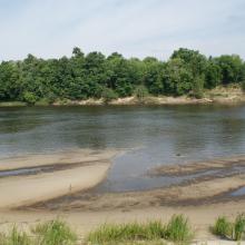
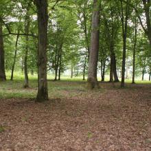
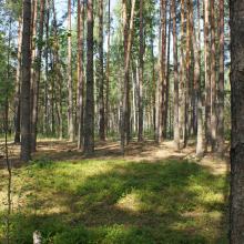
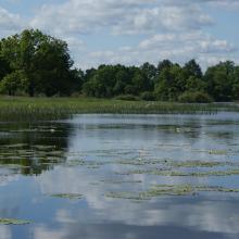
Located in southern Belarus, Pripyatsky National Park is an extensive floodplain valley composed of regularly waterlogged forests, meadows, shrub and mire ecosystems. The Site harbours 14 internationally protected habitats, which are important for the conservation of biological diversity within the Continental biogeographic region. The floodplain plays an important role in flood regulation and maintenance of water supply, groundwater levels, and water quality. The area is relatively unscathed by development, and its well-preserved habitats provide refuge for globally threatened breeding and migratory bird species such as ferruginous duck (Aythya nyroca) and black-tailed godwit (Limosa limosa). The Site is also important for providing spawning grounds for to 72% of the country’s fish species. Decreasing precipitation, drainage channels and water pollution, and residual radioactive contamination caused by the 1986 accident at the Chernobyl nuclear power plant are the main threats to the Site. There is a visitor centre.
Administrative region:
Gomel Region, Zhitkovichi, Petrikov, Lelchitsy districts
- National legal designation:
- National Park - National Park Pripyatsky
- Regional (international) legal designations:
- Other international designation
- Last publication date:16-09-2020
Downloads
Ramsar Information Sheet (RIS)
Archived RIS
Site map
Additional reports and documents
- Site management plan
- Other published literature
