Ingula Nature Reserve
- Country:South Africa
- Site number:2446
- Area:8,084 ha
- Designation date:01-03-2021
- Coordinates:28°15'S 29°34'E
Materials presented on this website, particularly maps and territorial information, are as-is and as-available based on available data and do not imply the expression of any opinion whatsoever on the part of the Secretariat of the Ramsar Convention concerning the legal status of any country, territory, city or area, or of its authorities, or concerning the delimitation of its frontiers or boundaries.
Overview
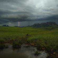
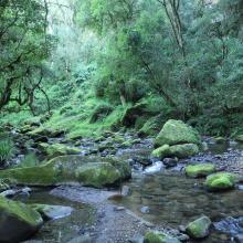
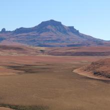
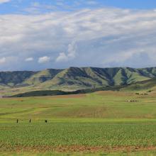
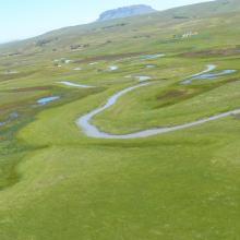
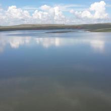
The Ingula Nature Reserve sits along the northernmost part of the Drakensberg mountain range. The Site’s two sections straddle the continental watershed, with the upper part in the Wilge River catchment which drains into the Atlantic Ocean and the lower part in the Thukela River catchment which drains into the Indian Ocean. The Reserve lies between 1,260 and 1,900 metres above sea level, and mainly consists of dry grassy plains – which are partly cultivated and irrigated – interspersed with extensive wetlands. It hosts over 300 bird species, of which 24 are threatened including the critically endangered white-winged flufftail (Sarothrura ayresi) and the endangered grey crowned crane (Balearica regulorum), secretary bird (Sagittarius serpentarius) and martial eagle (Polemaetus bellicosus). 34 mammal species have been recorded –including 11 carnivores and 10 antelope species – as well as 69 butterflies and 29 reptiles. The rare African weed orchid (Disa tysonii) is also present. Fire management, subsistence agriculture and invasive plants are among the key challenges affecting the Site. The Nature Reserve was created in 2003 as a condition of the construction of a pumped storage scheme by the landowner Eskom Holdings SOC Ltd., which manages it in partnership with BirdLife South Africa and the Middelpunt Wetland Trust.
Administrative region:
KwaZulu- Natal and Free State Province
- National legal designation:
- Protected Area Nature Reserve - Ingula Nature Reserve
- Last publication date:22-03-2021
Downloads
Ramsar Information Sheet (RIS)
Site map
Additional reports and documents
- Site management plan
