Search results

Map

Choose map: | | Download Centroids / Boundaries / Map (pdf)
Materials presented on this website, particularly maps and territorial information, are as-is and as-available based on available data and do not imply the expression of any opinion whatsoever on the part of the Secretariat of the Ramsar Convention concerning the legal status of any country, territory, city or area, or of its authorities, or concerning the delimitation of its frontiers or boundaries.

List

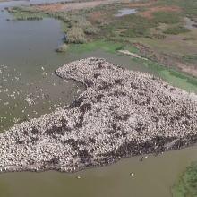
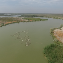
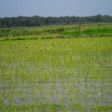
  1. View of Bujagh-Caspian sea
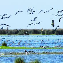
    Flock of Vanellus gregarius (Sociable Lapwing)
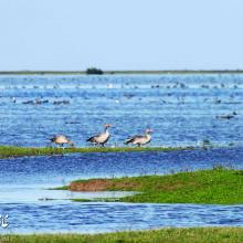
    Anser anser in Bujagh wetland

    Bujagh National Park

    • Country: 
      Iran (Islamic Republic of)
    • Designation date: 
      23-06-1975
    • Site number: 
      46
    • Published since: 
      1 year(s)
    3,433 ha
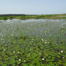
  2. View of Amirkelayeh- Nelumbo nucifera
    View of amirkelayeh wetland from the horbour
    an amazing view of Nymphaea nouchali community in Amirkelayeh

    Amirkelayeh Lake

    • Country: 
      Iran (Islamic Republic of)
    • Designation date: 
      23-06-1975
    • Site number: 
      47
    • Published since: 
      1 year(s)
    1,132 ha
  3. lac khar
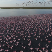
    grand lac (envol de flamants nains)
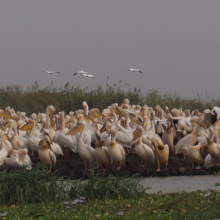
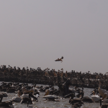
    pélicans en reproduction au djoudj
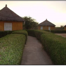
    campement écotouristique des communautés riveraines du parc
    crocodile du nil au bord du marigot du djoudj
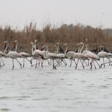
    flamants roses en vol au dessus de la rivière Gorom
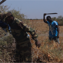
    activité d'aménagement par les agents du parc (signalétique)
    activité d'amenagement d'un lac par les volontaires écogardes du parc
    héronnière de la zone du crocodile (zone nord du parc)
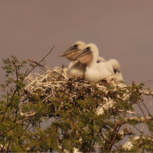
    poussins de pelicans gris (canal du crocodile)
    image du canal du crocodile
    nichoir des pélicans
    vue aérienne du nichoir des pélicans
    python de Seba
    vue aérienne du marigot du djoudj

    Parc National des Oiseaux du Djoudj

    • Country: 
      Senegal
    • Designation date: 
      11-07-1977
    • Site number: 
      138
    • Published since: 
      7 year(s)
    16,000 ha
  4. Les populations de limicole dans l’interface désert-océan
    Les bancs et chenaux en basse marée

    Parc National du Banc d'Arguin

    • Country: 
      Mauritania
    • Designation date: 
      22-10-1982
    • Site number: 
      250
    • Published since: 
      25 year(s)
    1,200,000 ha
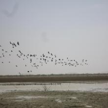
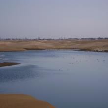
  5. Photo 1 : Envol d'oiseau sur la mare d'Oursi en période sèche
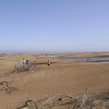
    Photo 2 : Vue panoramique du paysage dans le bassin versant de la mare d'Oursi
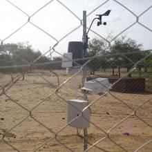
    Photo 3 : Station agro-météorologique installée sur le site de la mare d'Oursi par le Projet REP-Sahel de l'OSS
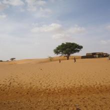
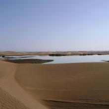
    Photo 4 : Dune de sable aux abords de la mare d'Oursi
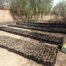
    Photo 5 : Production de plants pour la protection des berges autour de la mare par le service forestier
    Photo 6 : Envol d'oiseaux sur le site de la mare d'Oursi
    Photo 7 : îlot de végétation au niveau sur les berges de la mare d'Oursi

    La Mare d'Oursi

    • Country: 
      Burkina Faso
    • Designation date: 
      27-06-1990
    • Site number: 
      490
    • Published since: 
      7 year(s)
    35,000 ha
  6. Rio Kpatchèz ( plaine de Wamounou)
    Rio Kpatchèz ( plaine de Wamounou)
    Rio Kpatchèz ( plaine de Wamounou)
    Rio Kpatchèz ( plaine de Wamounou)
    Rio Kpatchèz ( plaine de Wamounou)

    Rio Kapatchez

    • Country: 
      Guinea
    • Designation date: 
      18-11-1992
    • Site number: 
      573
    • Published since: 
      7 year(s)
    679,280 ha
  7. Fleuve Rio Pongo
    Fleuve Rio Pongo
    Fleuve Rio Pongo

    Rio Pongo

    • Country: 
      Guinea
    • Designation date: 
      18-11-1992
    • Site number: 
      574
    • Published since: 
      7 year(s)
    600,571 ha
  8. The new sewage settling ponds in the dunes to the east of Walvis Bay (not part of the Ramsar site).
    Counting birds at the new sewage settling ponds.
    Flamingos and other waders at the new sewage settling ponds with the town of Walvis Bay in the background.
    Flamingos and waders in the Walvis Bay lagoon.
    The Walvis Bay salt works are within the Ramsar site.
     "Bird Paradise" sewage settling ponds (not part of the Ramsar site).  These have since been drained because of an alleged mosquito problem.
    View across the Walvis Bay lagoon, looking west.

    Walvis Bay

    • Country: 
      Namibia
    • Designation date: 
      23-08-1995
    • Site number: 
      742
    • Published since: 
      28 year(s)
    12,600 ha
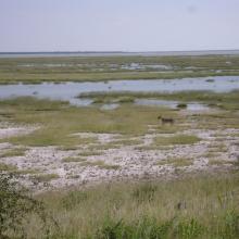
  9. Lioness on the eastern edge of Etosha Pan near Namutoni.  Exceptionally high rainfall in Angola and northern Namibia resulted in the pan filling up.
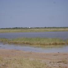
    The old fort at Namutoni with Fischer's Pan in the foreground, eastern Etosha.
    Giraffe on the edge of Fischer's Pan, eastern Etosha.
    Causeway across Fischer's Pan flooded by exceptionally high water levels.
    Ephemeral waterhole formed during the rainy season.
    View of the eastern edge of Etosha Pan near Namutoni.
    View of the eastern edge of Etosha Pan near Namutoni.
    Blue Cranes on the edge of Etosha Pan near Doringdraai, eastern Etosha.

    Etosha Pan

    • Country: 
      Namibia
    • Designation date: 
      23-08-1995
    • Site number: 
      745
    • Published since: 
      28 year(s)
    600,000 ha
  10. View across the lagoon at low tide, looking north-west.
    Looking south along the edge of the lagoon.
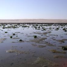
    Musselbeds on the mudflats, looking east.
    Musselbeds on the mudflats, looking east.
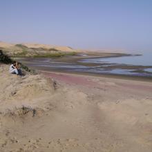
    View across the lagoon from the adjacent dunes, looking south-west.
    Remains of the northern, freshwater wetland, looking south.
    Remains of the northern, freshwater wetland, looking south.

    Sandwich Harbour

    • Country: 
      Namibia
    • Designation date: 
      23-08-1995
    • Site number: 
      743
    • Published since: 
      28 year(s)
    16,500 ha

Pages

Stats


Exports

Export Sites information

For a summary list of all the Ramsar Sites in pdf format, click here.

Generate reports of selected Sites

You can generate a report based on the filters you have applied, in either pdf or xls format. The report will sort the results by the Site name, unless you have sorted them by another variable.

For the pdfs, you can choose whether to include the introductory text on each Site, or just show the key data in a shorter report.

To receive a report, please provide your email address and enter the text in the verification picture into the textbox.

As soon as the list has been generated an e-mail will be sent to you with the link to access the file.