Parc National du Banc d'Arguin
Parc National du Banc d'Arguin
- Country:
- Mauritania
- Site number:
- 250
- Area:
- 1,200,000.0 ha
- Designation date:
- 22-10-1982
- Coordinates:
- 20°04'20"N 16°23'36"W
Carousel
CarouselMaterials presented on this website, particularly maps and territorial information, are as-is and as-available based on available data and do not imply the expression of any opinion whatsoever on the part of the Secretariat of the Ramsar Convention concerning the legal status of any country, territory, city or area, or of its authorities, or concerning the delimitation of its frontiers or boundaries.
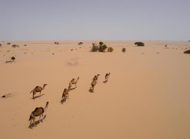
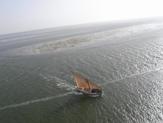
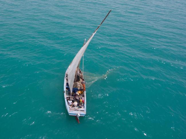
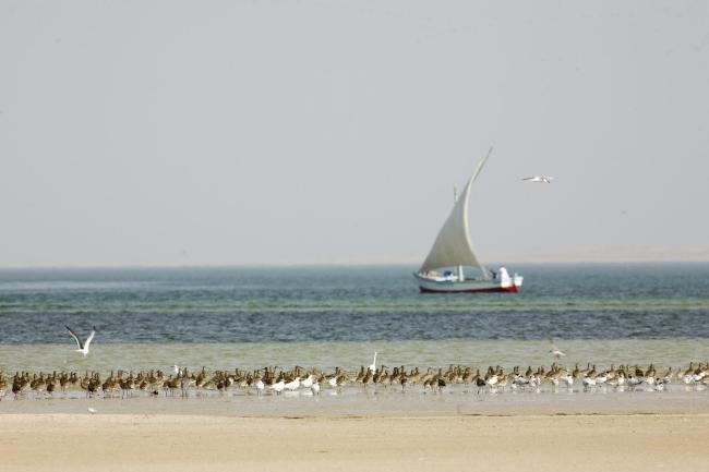
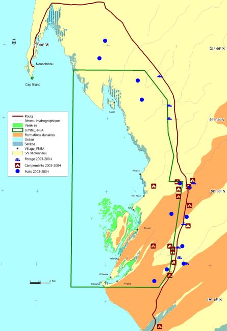
Lying on the western fringe of the Sahara, the Banc d'Arguin National Park (PNBA) accounts for more than one third of the country's entire coastline and is one of the richest fishing grounds in the world, owing to the upwelling of cold, nutrient-rich waters. The wetlands are composed of extensive, shallow marine areas, scattered islands, intertidal sand banks, mudflats, channels, creeks and relict mangrove forest. The mudflats support vast beds of seagrass housing a rich invertebrate fauna (especially molluscs and crustaceans) and are important high-tide feeding or nursery areas for commercially-important deep-sea fish. Large flocks of shorebirds forage at low tide and over two million winter here. Other notable animal species found include a variety of marine mammals, marine turtles, and an endangered seal species.
- World Heritage site
- national park - Parc National du Banc d'Arguin
- MR250RIS_2309_fr.pdf
- MR250RISformer.pdf
- MR250RISformer_201209.pdf
- MR250_map161020.jpg
- MR250_map161020_1.jpg
- MR250_map201210.jpg
- MR250_map201210_1.jpg
- MR250_map201210_2.jpg
- MR250_map201210_3.jpg
- MR250_map201210_4.jpg
- MR250_taxo210616_1.pdf
- MR250_taxo211014.pdf
- MR250_taxo211014_1.pdf
- MR250_taxo211015.pdf
- MR250_taxo211015_1.pdf
- MR250_taxo211015_2.pdf
- MR250_taxo211015_3.pdf
- MR250_taxo211015_4.pdf
- MR250_taxo211015_5.pdf
- MR250_taxo211015_6.pdf
- MR250_ECD211014.pdf
- MR250_ECD211014_1.pdf
- MR250_ECD211014_2.pdf
- MR250_ECD211014_3.pdf
- MR250_descr211014.pdf
- MR250_mgt201210.pdf


