Search results
Search found 33 Ramsar Sites covering 1,273,249 ha
- (-) Remove Picture available?: Yes filter Picture available?: Yes
- (-) Remove Ecosystem services: Cultural Services filter Ecosystem services: Cultural Services
- (-) Remove Ecosystem services: Provisioning Services filter Ecosystem services: Provisioning Services
- (-) Remove Ecosystem services: Supporting Services filter Ecosystem services: Supporting Services
- (-) Remove Region/country: Europe filter Region/country: Europe
- (-) Remove Ecosystem services: Regulating Services filter Ecosystem services: Regulating Services
- (-) Remove Threats: Transportation and service corridors filter Threats: Transportation and service corridors
- (-) Remove Threats: Human intrusions & disturbance filter Threats: Human intrusions & disturbance
- (-) Remove Max elevation (in meters): 500 - 999 filter Max elevation (in meters): 500 - 999
Map
Materials presented on this website, particularly maps and territorial information, are as-is and as-available based on available data and do not imply the expression of any opinion whatsoever on the part of the Secretariat of the Ramsar Convention concerning the legal status of any country, territory, city or area, or of its authorities, or concerning the delimitation of its frontiers or boundaries.
List
-

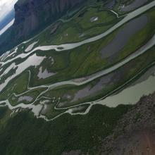
Tärnasjön
-
Country:Sweden
-
Designation date:05-12-1974
-
Site number:29
-
Published since:7 year(s)
23,236 ha -
-
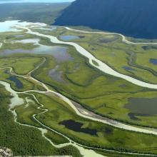
Laidaure
-
Country:Sweden
-
Designation date:05-12-1974
-
Site number:31
-
Published since:7 year(s)
4,316 ha -
-

Etang de Salses-Leucate
-
Country:France
-
Designation date:30-06-2017
-
Site number:2307
-
Published since:6 year(s)
7,637 ha -
-
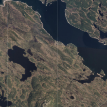
Møsvasstangen
-
Country:Norway
-
Designation date:18-03-1996
-
Site number:803
-
Published since:6 year(s)
1,441 ha -
-


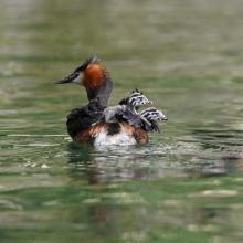


Lake Barrea
-
Country:Italy
-
Designation date:14-12-1976
-
Site number:131
-
Published since:2 year(s)
241 ha -
-
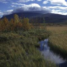

Fokstumyra
-
Country:Norway
-
Designation date:06-08-2002
-
Site number:1189
-
Published since:6 year(s)
1,799 ha -
-
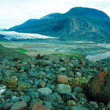
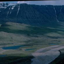


Kuannersuit Kuussuat
-
Country:Denmark (Greenland)
-
Designation date:27-01-1988
-
Site number:383
-
Published since:4 year(s)
3,800 ha -
-
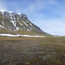

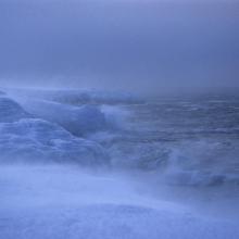
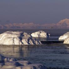
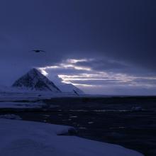


Nordenskiöldkysten
-
Country:Norway
-
Designation date:12-11-2010
-
Site number:1968
-
Published since:5 year(s)
42,992 ha -
-

Oldflån-Flån
-
Country:Sweden
-
Designation date:14-11-2001
-
Site number:1126
-
Published since:7 year(s)
10,590 ha -
-
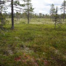

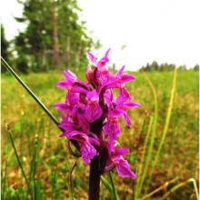
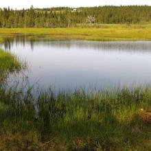

Hedmarksvidda Wetland System
-
Country:Norway
-
Designation date:12-11-2010
-
Site number:1951
-
Published since:5 year(s)
4,742 ha -


