Search results

Map

Choose map: | | Download Centroids / Boundaries / Map (pdf)
Materials presented on this website, particularly maps and territorial information, are as-is and as-available based on available data and do not imply the expression of any opinion whatsoever on the part of the Secretariat of the Ramsar Convention concerning the legal status of any country, territory, city or area, or of its authorities, or concerning the delimitation of its frontiers or boundaries.

List

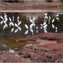
  1. Ave Eudocimus albus presente en la ciénega de San Juan al norte del sitio Ramsar
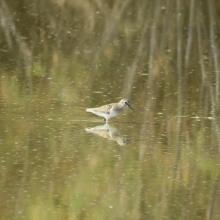
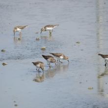
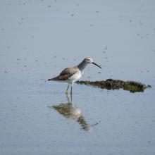
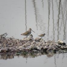
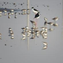
    Ave Calidris minutilla en laguna intermitente Casa Colorada
    Ave Calidris minutilla en laguna intermitente Casa Colorada
    Ave Calidris himantopus en laguna intermitente Casa Colorada
    Ave Limodromus griseus y Calidris minutilla
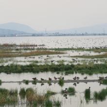
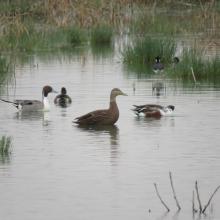
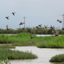
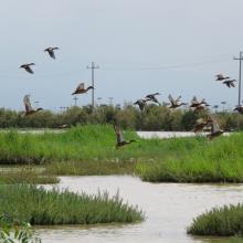
    Aves en el Lago Artificial Nabor Carrillo
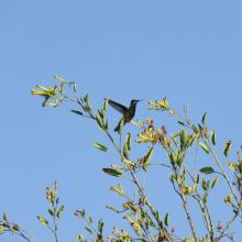
    Ave 
 y Anas acuta en el Lago Artificial Nabor Carrillo
    Ciénega Intermitente
    Aves Anas diazi en Ciénega Intermitente
    Ave Cynathus auriceps en Ciénega Intermitente Texcoco Norte
    Ave Himantopus mexicanus y Calidris minutilla en Ciénega Casa Colorada

    Lago de Texcoco

    • Country: 
      Mexico
    • Designation date: 
      05-06-2022
    • Site number: 
      2469
    • Published since: 
      1 year(s)
    10,077 ha
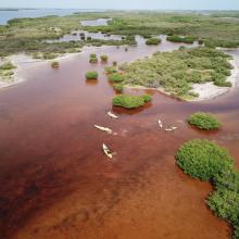
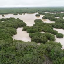
  2. Vista aérea de la ciénaga
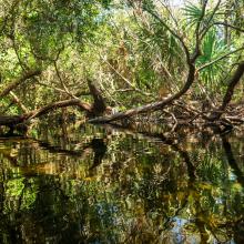
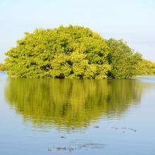
    Vista aérea del bosque de manglar entre la ciénaga
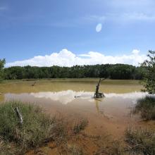
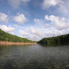
    Vista lateral de la ciénaga
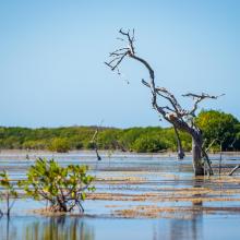
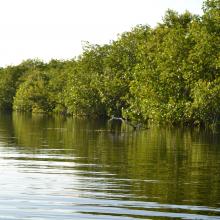
    Borde de manglar en la ciénaga
    Manglar dentro de la ciénaga
    Islote de manglar
    Vegetación acuática asociada al manglar
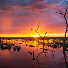
    Atardecer en la ciénaga
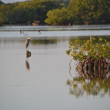
    Garza morena entre el manglar
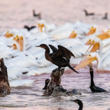
    Pelícanos y cormoranes en la ciénaga
    Parvada de flamencos en la ciénaga
    Entrada a un  petén costero
    Petén costero
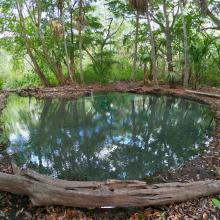
    Superficie de un petén costero
    Interior de un petén costero

    Reserva Estatal Ciénagas y Manglares de la Costa Norte de Yucatán

    • Country: 
      Mexico
    • Designation date: 
      02-02-2022
    • Site number: 
      2468
    • Published since: 
      1 year(s)
    54,777 ha
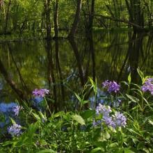
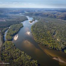
  3. Woodland Phlox along LWR slough
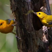
    Nesting prothonotary warbler along LWR slough
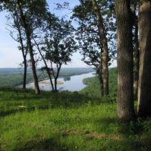
    Bluff woodland  along LWR
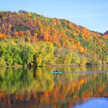
    River paddlers
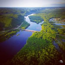
    Lower Wisconsin Riverway
    Lower Wisconsin Riverway
    Lower Wisconsin Riverway
    Lower Wisconsin Riverway
    Lower Wisconsin Riverway
    Lower Wisconsin Riverway
    Lower Wisconsin Riverway
    Lower Wisconsin Riverway

    Lower Wisconsin Riverway

    • Country: 
      United States of America
    • Designation date: 
      14-02-2020
    • Site number: 
      2417
    • Published since: 
      3 year(s)
    17,700 ha
  4. Kayaking on the Lower Niagara River
    Niagara river corridor
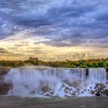
    Gorgeous morning over America falls

    Niagara River Corridor

    • Country: 
      United States of America
    • Designation date: 
      03-10-2019
    • Site number: 
      2402
    • Published since: 
      4 year(s)
    5,248 ha
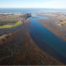
  5. Overhead Photo
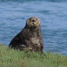
    Otter
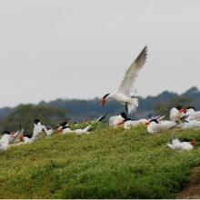
    Turns
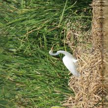
    Great Egrit
    Shore Birds
    Oyster Restoration Reef
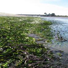
    Eel Grass Bed

    Elkhorn Slough

    • Country: 
      United States of America
    • Designation date: 
      25-06-2018
    • Site number: 
      2345
    • Published since: 
      5 year(s)
    724 ha
  6. Ramsar

    Door Peninsula Coastal Wetlands

    • Country: 
      United States of America
    • Designation date: 
      10-06-2014
    • Site number: 
      2218
    • Published since: 
      9 year(s)
    4,631 ha
  7. Paysage Aquatique Protégé du Nord

    • Country: 
      Burundi
    • Designation date: 
      14-03-2013
    • Site number: 
      2149
    • Published since: 
      11 year(s)
    16,242 ha
  8. x

    Aldabra Atoll

    • Country: 
      Seychelles
    • Designation date: 
      02-02-2010
    • Site number: 
      1887
    • Published since: 
      14 year(s)
    43,900 ha
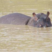
  9. Photo 3 : Un Hippopotame
    Vue panoramique de l'étendue du lac
    Pépinière villageoise aménagée par le MCA au profit des communautés riveraines pour le reboisement et la récupération des berges
    Aménagement à des fins récréatives aux abords du lac
    Bungalow servant de logement pour les touristes
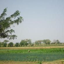
    Périmètre maraîcher sur le site

    Lac de Tingrela

    • Country: 
      Burkina Faso
    • Designation date: 
      07-10-2009
    • Site number: 
      1881
    • Published since: 
      7 year(s)
    580 ha
  10. Photo 1 : Plan d'eau de la vallée du Sourou
    Photo 2 : Engin de pêche aux abords du plan d'eau
    Photo 3 : Station de pompage d'eau pour le périmètre irrigué (2245 ha) aménagé dans le cadre du Millenium Challenge Account (MCA)
    Photo 4 : Un pêcheur en pleine prise de poisson
    Photo 7 : Étendue de spéculations maraîchères  dans le périmètre aménagé   dans le cadre du MCA
    Photo 6 : Richesse ornithologique du site de la vallée du Sourou
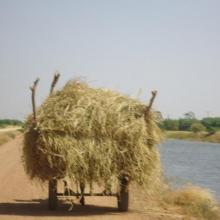
    Photo 5 : Récolte de la paille sur le site de la vallée du Sourou
    Photo 8 : Pêcheur solitaire sur  la rive droite de la vallée du Sourou
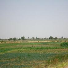
    Photo 9 : Étendue du périmètre aménagé

    La Vallée du Sourou

    • Country: 
      Burkina Faso
    • Designation date: 
      07-10-2009
    • Site number: 
      1885
    • Published since: 
      7 year(s)
    21,157 ha

Pages

Stats


Exports

Export Sites information

For a summary list of all the Ramsar Sites in pdf format, click here.

Generate reports of selected Sites

You can generate a report based on the filters you have applied, in either pdf or xls format. The report will sort the results by the Site name, unless you have sorted them by another variable.

For the pdfs, you can choose whether to include the introductory text on each Site, or just show the key data in a shorter report.

To receive a report, please provide your email address and enter the text in the verification picture into the textbox.

As soon as the list has been generated an e-mail will be sent to you with the link to access the file.