Search results
Search found 105 Ramsar Sites covering 19,258,749 ha
- (-) Remove Region/country: Oceania filter Region/country: Oceania
- (-) Remove Threats: Dams and water management/use filter Threats: Dams and water management/use
- (-) Remove Picture available?: Yes filter Picture available?: Yes
- (-) Remove Region/country: Latin America and the Caribbean filter Region/country: Latin America and the Caribbean
- (-) Remove Region/country: Africa filter Region/country: Africa
- (-) Remove Threats: Natural system modifications filter Threats: Natural system modifications
- (-) Remove Ecosystem services: Cultural Services filter Ecosystem services: Cultural Services
- (-) Remove Management plan available: Yes filter Management plan available: Yes
- (-) Remove Ramsar criteria: 8 filter Ramsar criteria: 8
- (-) Remove Ecosystem services: Provisioning Services filter Ecosystem services: Provisioning Services
- (-) Remove Designation date: 1986 filter Designation date: 1986
Map
Materials presented on this website, particularly maps and territorial information, are as-is and as-available based on available data and do not imply the expression of any opinion whatsoever on the part of the Secretariat of the Ramsar Convention concerning the legal status of any country, territory, city or area, or of its authorities, or concerning the delimitation of its frontiers or boundaries.
List
-
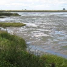
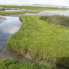


Berg Estuary Ramsar Site
-
Country:South Africa
-
Designation date:01-02-2022
-
Site number:2466
-
Published since:2 year(s)
1,163 ha -
-
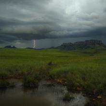
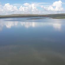
Ingula Nature Reserve
-
Country:South Africa
-
Designation date:01-03-2021
-
Site number:2446
-
Published since:3 year(s)
8,084 ha -
-

Assifs Ahançal-Melloul
-
Country:Morocco
-
Designation date:22-05-2019
-
Site number:2378
-
Published since:4 year(s)
1,385 ha -
-

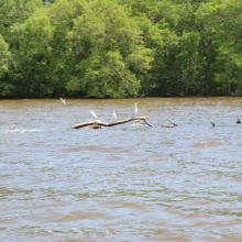
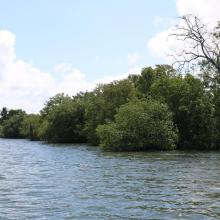
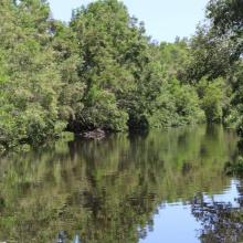
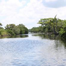
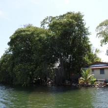


Sistema de Humedal Laguna de Alvarado
-
Country:Honduras
-
Designation date:02-02-2019
-
Site number:2418
-
Published since:4 year(s)
13,846 ha -
-
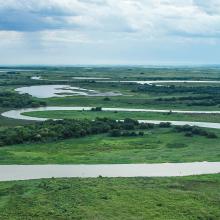
Taiamã Ecological Station
-
Country:Brazil
-
Designation date:21-10-2018
-
Site number:2363
-
Published since:5 year(s)
11,555 ha -
-
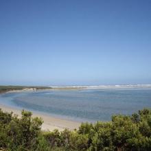

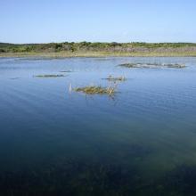
Glenelg Estuary and Discovery Bay Ramsar Site
-
Country:Australia
-
Designation date:28-02-2018
-
Site number:2344
-
Published since:5 year(s)
22,289 ha -
-

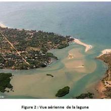
Réserve Naturelle d'Intérêt Communautaire de la Somone
-
Country:Senegal
-
Designation date:01-09-2017
-
Site number:2327
-
Published since:6 year(s)
700 ha -
-
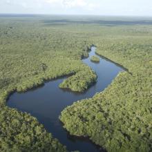
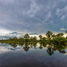
Viruá National Park
-
Country:Brazil
-
Designation date:22-03-2017
-
Site number:2295
-
Published since:6 year(s)
216,427 ha -
-


Complejo de Humedales del Alto Rio Cauca Asociado a la Laguna de Sonso
-
Country:Colombia
-
Designation date:14-02-2017
-
Site number:2403
-
Published since:4 year(s)
5,525 ha -
-
Zones Humides de Sahamalaza
-
Country:Madagascar
-
Designation date:02-02-2017
-
Site number:2288
-
Published since:7 year(s)
24,049 ha -

