Search results

Map

Choose map: | | Download Centroids / Boundaries / Map (pdf)
Materials presented on this website, particularly maps and territorial information, are as-is and as-available based on available data and do not imply the expression of any opinion whatsoever on the part of the Secretariat of the Ramsar Convention concerning the legal status of any country, territory, city or area, or of its authorities, or concerning the delimitation of its frontiers or boundaries.

List

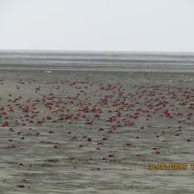
  1. Flock of Crab at Nanthar Island
    Habitat Type of Waterbirds, Nanthar Island
    Birds in northern part of Nanthar Island
    Birds and mangroves of Nanthar Island
    Habitat Type of Nanthar Island and Mayyu Estuary
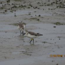
    Spoon-billed sandpiper found on the Nanthar Island

    Nanthar Island and Mayyu Estuary

    • Country: 
      Myanmar
    • Designation date: 
      22-05-2020
    • Site number: 
      2421
    • Published since: 
      4 year(s)
    3,608 ha
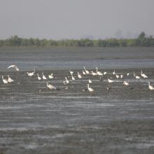
  2. Cygnus columbianus
    Ciconia boyciana
    Ciconia boyciana
    Grus grus

    Tianjin Beidagang Wetlands

    • Country: 
      China
    • Designation date: 
      03-02-2020
    • Site number: 
      2425
    • Published since: 
      3 year(s)
    1,130 ha
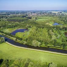
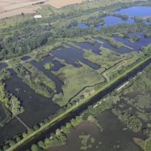
  3. Vue aérienne de la Scarpe et de la tourbière de Vred
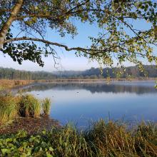
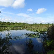
    Tourbière de Marchiennes
    Mare à Goriaux
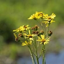
    Sénecio paludosus
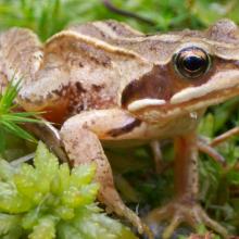
    Grenouille des champs, Rana arvalis

    Vallées de la Scarpe et de l'Escaut

    • Country: 
      France
    • Designation date: 
      02-02-2020
    • Site number: 
      2405
    • Published since: 
      4 year(s)
    27,622 ha
  4. Kayaking on the Lower Niagara River
    Niagara river corridor
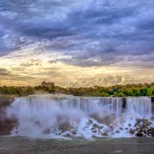
    Gorgeous morning over America falls

    Niagara River Corridor

    • Country: 
      United States of America
    • Designation date: 
      03-10-2019
    • Site number: 
      2402
    • Published since: 
      4 year(s)
    5,248 ha
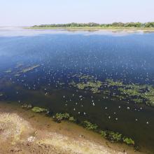
  5. NMWLS Wetland Aerial View
    Riverine Forest
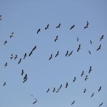
    Birds Flock
    Ducks Assemblage
    Comman Crane Flock
    Small Pratincole Flock
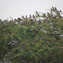
    Rosy Starling Flock

    Nandur Madhameshwar

    • Country: 
      India
    • Designation date: 
      21-06-2019
    • Site number: 
      2410
    • Published since: 
      4 year(s)
    1,437 ha
  6. View of the south-western part of the reservoir and Burshtyn thermal power station
    A view of the pond for commercial fishery (in the background – Kuropatnyky Village).
    A view of the north-eastern bank of the reservoir (in the background – country cottages, a forest, and Kasova Mountain (Halytskyi NNP).
    Flocks of birds in winter.
    Flocks of birds in winter.
    Flocks of birds in winter.
    Flocks of swans.

    Burshtyn Water Reservoir

    • Country: 
      Ukraine
    • Designation date: 
      20-03-2019
    • Site number: 
      2393
    • Published since: 
      4 year(s)
    1,260 ha
  7. Vue des lacs des barrages
    Forêt ripicole sur les berges des barrages

    Complexe du Parc Urbain Bãngr – Weoogo et du lac des trois barrages

    • Country: 
      Burkina Faso
    • Designation date: 
      02-02-2019
    • Site number: 
      2367
    • Published since: 
      5 year(s)
    945 ha
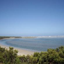
  8. Glenelg River Estuary as viewed from the Beach Road lookout, the opening to the ocean can be seen at far right.
    Coastal dune scrub on the barrier dunes adjacent to Long Swamp and shorebird habitat along the ocean beach.
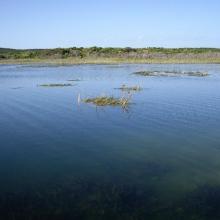
    Lake Mombeong one of the freshwater lakes of Discovery Bay

    Glenelg Estuary and Discovery Bay Ramsar Site

    • Country: 
      Australia
    • Designation date: 
      28-02-2018
    • Site number: 
      2344
    • Published since: 
      5 year(s)
    22,289 ha
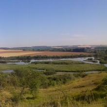
  9. Vallée de la Somme à l'aval d'Amiens
    Vallée de la Somme et canal entre Amiens et Abbeville
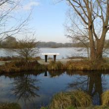
    Etangs de la Haute Somme depuis les hauteurs de Frise
    Belvédère de Frise au dessus des étangs de la Haute Somme
    Etangs et belvédère de Cléry/Somme

    Marais et tourbières des vallées de la Somme et de l’Avre

    • Country: 
      France
    • Designation date: 
      18-12-2017
    • Site number: 
      2322
    • Published since: 
      6 year(s)
    13,100 ha
  10. La rivière Lufira
    Le lac Tshangalele qui est dans le bassin de la lufira
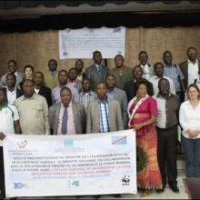
    La photo de l'atelier avec les autorités provinciales
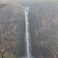
    Chutte de Lofoi

    Bassin de la Lufira

    • Country: 
      Democratic Republic of the Congo
    • Designation date: 
      31-10-2017
    • Site number: 
      2318
    • Published since: 
      6 year(s)
    4,470,993 ha

Pages

Stats


Exports

Export Sites information

For a summary list of all the Ramsar Sites in pdf format, click here.

Generate reports of selected Sites

You can generate a report based on the filters you have applied, in either pdf or xls format. The report will sort the results by the Site name, unless you have sorted them by another variable.

For the pdfs, you can choose whether to include the introductory text on each Site, or just show the key data in a shorter report.

To receive a report, please provide your email address and enter the text in the verification picture into the textbox.

As soon as the list has been generated an e-mail will be sent to you with the link to access the file.