Search results
Search found 84 Ramsar Sites covering 7,527,932 ha
- (-) Remove Ecosystem services: Regulating Services filter Ecosystem services: Regulating Services
- (-) Remove Ramsar criteria: 6 filter Ramsar criteria: 6
- (-) Remove Designation date: 1981 filter Designation date: 1981
- (-) Remove Designation date: September 1981 filter Designation date: September 1981
- (-) Remove Sites on Montreux record?: No filter Sites on Montreux record?: No
- (-) Remove Region/country: Europe filter Region/country: Europe
- (-) Remove Picture available?: No filter Picture available?: No
- (-) Remove Wetland type: Human-made wetlands filter Wetland type: Human-made wetlands
- (-) Remove Ramsar criteria: 3 filter Ramsar criteria: 3
- (-) Remove Wetland type: Inland wetlands filter Wetland type: Inland wetlands
- (-) Remove Management plan available: Yes filter Management plan available: Yes
- (-) Remove Threats: Climate change & severe weather filter Threats: Climate change & severe weather
- (-) Remove Wetland type: U: Permanent Non-forested peatlands filter Wetland type: U: Permanent Non-forested peatlands
- (-) Remove Region/country: Africa filter Region/country: Africa
Map
Materials presented on this website, particularly maps and territorial information, are as-is and as-available based on available data and do not imply the expression of any opinion whatsoever on the part of the Secretariat of the Ramsar Convention concerning the legal status of any country, territory, city or area, or of its authorities, or concerning the delimitation of its frontiers or boundaries.
List
-
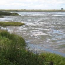
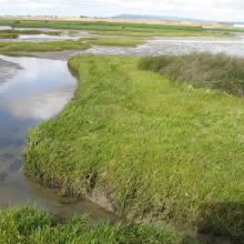


Berg Estuary Ramsar Site
-
Country:South Africa
-
Designation date:01-02-2022
-
Site number:2466
-
Published since:2 year(s)
1,163 ha -
-
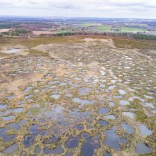


Le Pinail
-
Country:France
-
Designation date:22-10-2021
-
Site number:2461
-
Published since:2 year(s)
923 ha -
-
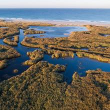
Baie d'Audierne
-
Country:France
-
Designation date:04-09-2021
-
Site number:2460
-
Published since:2 year(s)
2,396 ha -
-
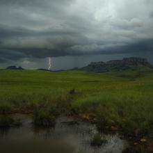
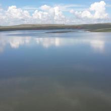
Ingula Nature Reserve
-
Country:South Africa
-
Designation date:01-03-2021
-
Site number:2446
-
Published since:3 year(s)
8,084 ha -
-
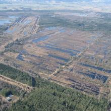
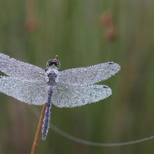
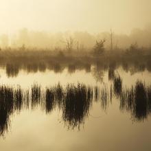
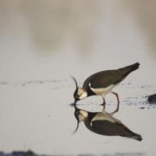
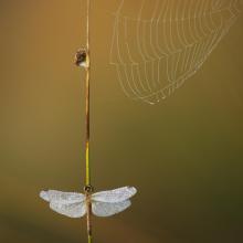


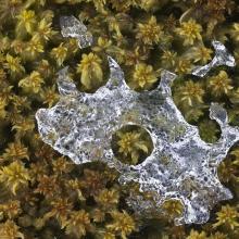

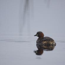
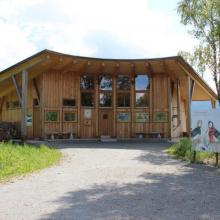
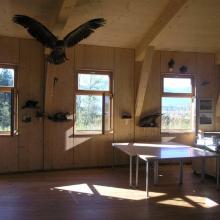
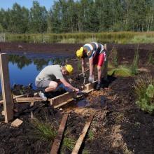
Rosenheim Basin Bogs
-
Country:Germany
-
Designation date:07-12-2020
-
Site number:2444
-
Published since:3 year(s)
1,039 ha -
-
Etang de Saint-Paul
-
Country:France (outre-mer)
-
Designation date:15-07-2019
-
Site number:2398
-
Published since:4 year(s)
485 ha -
-

Assifs Ahançal-Melloul
-
Country:Morocco
-
Designation date:22-05-2019
-
Site number:2378
-
Published since:4 year(s)
1,385 ha -
-

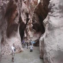

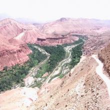
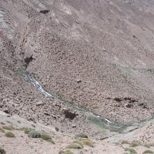


Assif Mgoun
-
Country:Morocco
-
Designation date:16-04-2019
-
Site number:2376
-
Published since:4 year(s)
1,400 ha -
-
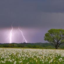


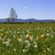
Narcissi Valley
-
Country:Ukraine
-
Designation date:20-03-2019
-
Site number:2390
-
Published since:4 year(s)
256 ha -
-
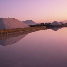

Trapani and Paceco salt ponds
-
Country:Italy
-
Designation date:19-10-2017
-
Site number:2329
-
Published since:6 year(s)
971 ha -

