Search results
Search found 56 Ramsar Sites covering 7,813,687 ha
- (-) Remove Management plan available: Yes filter Management plan available: Yes
- (-) Remove Designation date: 2018 filter Designation date: 2018
- (-) Remove Max elevation (in meters): 3500 - 3999 filter Max elevation (in meters): 3500 - 3999
- (-) Remove Ecosystem services: Provisioning Services filter Ecosystem services: Provisioning Services
- (-) Remove Sites on Montreux record?: No filter Sites on Montreux record?: No
- (-) Remove Wetland type: Marine or coastal wetlands filter Wetland type: Marine or coastal wetlands
- (-) Remove Threats: Energy production and mining filter Threats: Energy production and mining
- (-) Remove Wetland type: E: Sand, shingle or pebble shores filter Wetland type: E: Sand, shingle or pebble shores
Map
Materials presented on this website, particularly maps and territorial information, are as-is and as-available based on available data and do not imply the expression of any opinion whatsoever on the part of the Secretariat of the Ramsar Convention concerning the legal status of any country, territory, city or area, or of its authorities, or concerning the delimitation of its frontiers or boundaries.
List
-
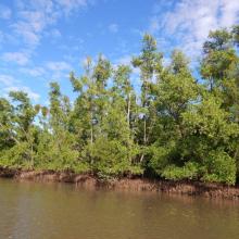
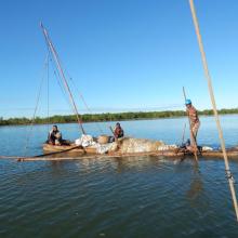
Mangroves de la Baie d'Ambaro
-
Country:Madagascar
-
Designation date:20-08-2020
-
Site number:2438
-
Published since:3 year(s)
54,000 ha -
-
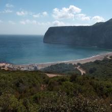
Littoral de Jbel Moussa
-
Country:Morocco
-
Designation date:16-04-2019
-
Site number:2381
-
Published since:4 year(s)
500 ha -
-


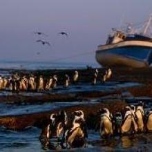
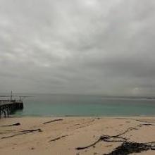
Dassen Island Nature Reserve
-
Country:South Africa
-
Designation date:29-03-2019
-
Site number:2383
-
Published since:4 year(s)
737 ha -
-

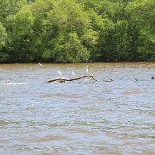
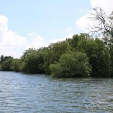
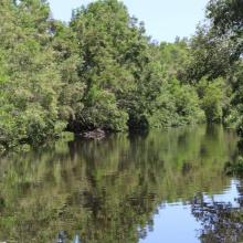
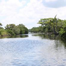
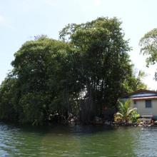


Sistema de Humedal Laguna de Alvarado
-
Country:Honduras
-
Designation date:02-02-2019
-
Site number:2418
-
Published since:4 year(s)
13,846 ha -
-
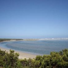

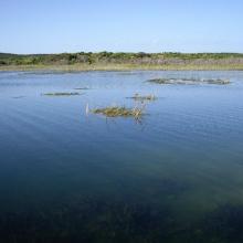
Glenelg Estuary and Discovery Bay Ramsar Site
-
Country:Australia
-
Designation date:28-02-2018
-
Site number:2344
-
Published since:5 year(s)
22,289 ha -
-
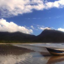
Environmental Protection Area of Cananéia-Iguape-Peruíbe
-
Country:Brazil
-
Designation date:04-09-2017
-
Site number:2310
-
Published since:6 year(s)
202,307 ha -
-
Marais Breton, Baie de Bourgneuf, Ile de Noirmoutier et Forêt de Monts
-
Country:France
-
Designation date:02-02-2017
-
Site number:2283
-
Published since:7 year(s)
55,826 ha -
-
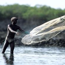
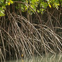

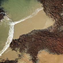
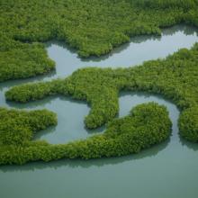

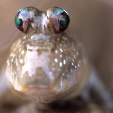


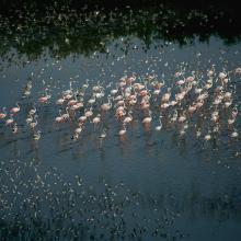
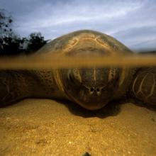
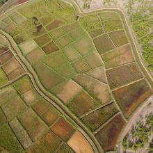

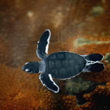
Archipel Bolama-Bijagós
-
Country:Guinea-Bissau
-
Designation date:14-01-2014
-
Site number:2198
-
Published since:10 year(s)
1,046,950 ha -
-
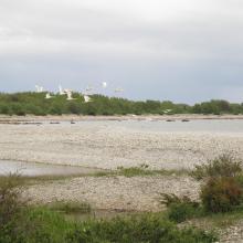
Haapsalu-Noarootsi
-
Country:Estonia
-
Designation date:08-02-2011
-
Site number:2022
-
Published since:2 year(s)
27,450 ha -
-
Complejo Jaltepeque
-
Country:El Salvador
-
Designation date:02-02-2011
-
Site number:1935
-
Published since:2 year(s)
49,474 ha -


