Search results

Map

Choose map: | | Download Centroids / Boundaries / Map (pdf)
Materials presented on this website, particularly maps and territorial information, are as-is and as-available based on available data and do not imply the expression of any opinion whatsoever on the part of the Secretariat of the Ramsar Convention concerning the legal status of any country, territory, city or area, or of its authorities, or concerning the delimitation of its frontiers or boundaries.

List

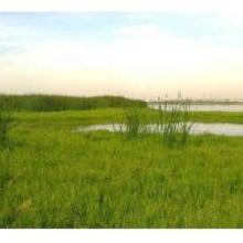
  1. panoramic view of Pallikaranai Marsh
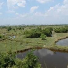
    Ariel View of Pallikaranai Marsh
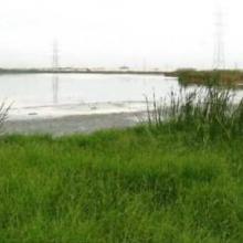
    Pallikaranai Marsh
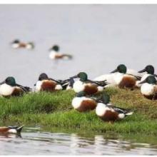
    Northern Shoveler

    Pallikaranai Marsh Reserve Forest

    • Country: 
      India
    • Designation date: 
      08-04-2022
    • Site number: 
      2481
    • Published since: 
      1 year(s)
    1,248 ha
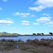
  2. Lower Berg River Estuary
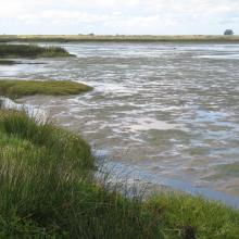
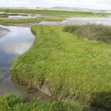
    Salt marshes - Berg River Estuary
    Lower reaches Berg River Estuary
    Upstream of salt works

    Berg Estuary Ramsar Site

    • Country: 
      South Africa
    • Designation date: 
      01-02-2022
    • Site number: 
      2466
    • Published since: 
      2 year(s)
    1,163 ha
  3. Stagno Longu -
Posada - Volo di
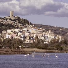
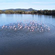
fenicotteri
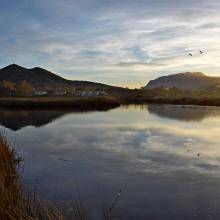
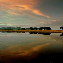
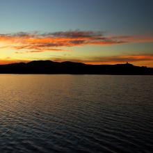
    Riflessi sul Rio
Posada
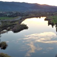
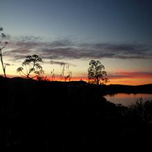
    Tramonto su
Posada dallo
stagno Longu
    Skyline di Posada
dal Rio Posada
    Riflessi sul Rio
Posada
    Riflesso del
Montalbo sul Rio
Posada da San
Giovanni
    Pescatore alla
foce di Orvile
    Alba sul Rio
Posada - Stagno
Tundu
I
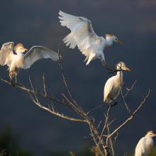
    Stagni di Posada – Volo di aironi guarda buoi (Bubulcus ibis)
    Stagni di Posada – Combattimento di folaghe (Fulica atra)
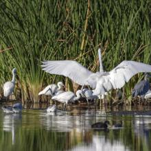
    Stagni di Posada - Aironi
    Stagni di Posada – Posatoio di Aironi guardabuoi (Bubulcus ibis)
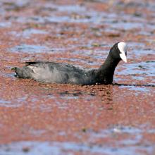
    Stagni di Posada – Folaga (Fulica atra)
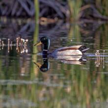
    Stagni di Posada – Germano reale
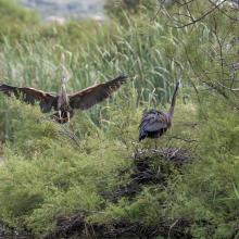
    Stagni di Posada – Nidificazione di Airone rosso (Arsea purpurea)
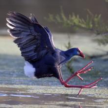
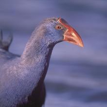
    Stagni di Posada – Pollo sulatno (Porphyrio porphyrio)
    Stagni di Posada – Pollo sultano (Porphyrio porphyrio)
    -Stagni di Posada
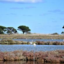
    Fenicotteri foce – stagno Posada
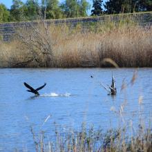
    Cormorano si alza in volo (Torpè)
    La peschiera Posada foce
    Vista aerea Ramsar a Torpè (direzione Ovest)
    Stagno – foce
    Dal guado di Torpè sguardo a Ovest
    Canneto e avifauna a Torpè

    Posada River Mouth

    • Country: 
      Italy
    • Designation date: 
      25-02-2021
    • Site number: 
      2452
    • Published since: 
      2 year(s)
    736 ha
  4. Temporary Pan
    Pelicans with White breasted cormorants
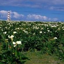
    Yellow oxalis with Lighthouse
    Arum Lilies
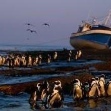
    African Penguins with Shipwreck
    House Bay with jetty

    Dassen Island Nature Reserve

    • Country: 
      South Africa
    • Designation date: 
      29-03-2019
    • Site number: 
      2383
    • Published since: 
      4 year(s)
    737 ha
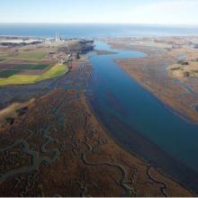
  5. Overhead Photo
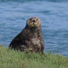
    Otter
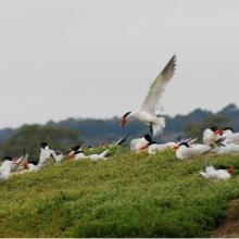
    Turns
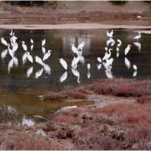
    Great Egrit
    Shore Birds
    Oyster Restoration Reef
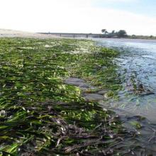
    Eel Grass Bed

    Elkhorn Slough

    • Country: 
      United States of America
    • Designation date: 
      25-06-2018
    • Site number: 
      2345
    • Published since: 
      5 year(s)
    724 ha
  6. ICMBio
    ICMBio
    ICMBio
    Helder Lana
    ICMBio

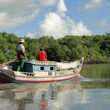
    Amazon Estuary and its Mangroves

    • Country: 
      Brazil
    • Designation date: 
      19-03-2018
    • Site number: 
      2337
    • Published since: 
      5 year(s)
    3,850,253 ha
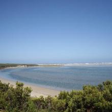
  7. Glenelg River Estuary as viewed from the Beach Road lookout, the opening to the ocean can be seen at far right.
    Coastal dune scrub on the barrier dunes adjacent to Long Swamp and shorebird habitat along the ocean beach.
    Lake Mombeong one of the freshwater lakes of Discovery Bay

    Glenelg Estuary and Discovery Bay Ramsar Site

    • Country: 
      Australia
    • Designation date: 
      28-02-2018
    • Site number: 
      2344
    • Published since: 
      5 year(s)
    22,289 ha
  8. Marjal de Almenara. Panorámica de las lagunas someras
    Marjal de Almenara. Panorámica general
    Marjal de Almenara. Panorámica de estany
    Marjal de Almenara. Panorámica con aves
    Marjal de Almenara. Antiguos arrozales recuperados
    Marjal de Almenara. Cordón litoral de cantos y saladar
    Marjal de Almenara. Detalle de surgencia de agua subterránea en rocas kársticas (ullal)
    Marjal de Almenara. Detalle de surgencia de agua subterránea en rocas kársticas (ullal)
    Marjal de Almenara. Detalle de estany con Ceratophyllums demersum
    Marjal de Almenara. Tareas de muestreo efectuado por voluntarios (programa de seguimiento de calidad de aguas, Generalitat Valenciana)

    Marjal de Almenara

    • Country: 
      Spain
    • Designation date: 
      17-11-2017
    • Site number: 
      2338
    • Published since: 
      3 year(s)
    1,474 ha
  9. La rivière Lufira
    Le lac Tshangalele qui est dans le bassin de la lufira
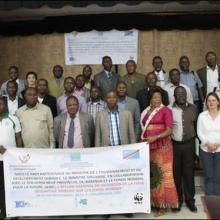
    La photo de l'atelier avec les autorités provinciales
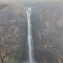
    Chutte de Lofoi

    Bassin de la Lufira

    • Country: 
      Democratic Republic of the Congo
    • Designation date: 
      31-10-2017
    • Site number: 
      2318
    • Published since: 
      6 year(s)
    4,470,993 ha
  10. Sunrise at the Salt ponds of Trapani and Paceco (Salina Salinella)
    Sunset (Salina Chiusa),on the left, the old tower of Nubia and the Egadi island on the background
    Marsh and salt ponds  area at the Salt ponds (near Salina Salinella)
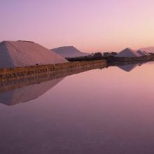
    Pile of Salt harvested and left on the leeves of the salt ponds (Salina Calcara)
    A flock of Flamingos (Phoenicopterus ruber), an old mill on the background and Favignana Island
    A flock of Flamingos (Phoenicopterus ruber)
    Cynomorium coccineum on Stagnone di Marsala Islands (Isola Grande)
    Calendula incana subsp.  maritima on Stagnone di Marsala Islands (Isola Grande)
    Myriolimon ferulaceum on Stagnone di Marsala Islands (Isola Grande)
    Scrophularia frutescens on Stagnone di Marsala Islands (Isola Grande)
    Limonium hyblaeum on Stagnone di Marsala Islands (Isola Grande)

    Trapani and Paceco salt ponds

    • Country: 
      Italy
    • Designation date: 
      19-10-2017
    • Site number: 
      2329
    • Published since: 
      6 year(s)
    971 ha

Pages

Stats


Exports

Export Sites information

For a summary list of all the Ramsar Sites in pdf format, click here.

Generate reports of selected Sites

You can generate a report based on the filters you have applied, in either pdf or xls format. The report will sort the results by the Site name, unless you have sorted them by another variable.

For the pdfs, you can choose whether to include the introductory text on each Site, or just show the key data in a shorter report.

To receive a report, please provide your email address and enter the text in the verification picture into the textbox.

As soon as the list has been generated an e-mail will be sent to you with the link to access the file.