Search results
Search found 46 Ramsar Sites covering 2,003,469 ha
- (-) Remove Wetland type: Human-made wetlands filter Wetland type: Human-made wetlands
- (-) Remove Ecosystem services: Provisioning Services filter Ecosystem services: Provisioning Services
- (-) Remove Region/country: Europe filter Region/country: Europe
- (-) Remove Wetland type: 4: Seasonally flooded agricultural land filter Wetland type: 4: Seasonally flooded agricultural land
- (-) Remove Ramsar criteria: 4 filter Ramsar criteria: 4
- (-) Remove Threats: Energy production and mining filter Threats: Energy production and mining
- (-) Remove Wetland type: 8: Wastewater treatment areas filter Wetland type: 8: Wastewater treatment areas
- (-) Remove Region/country: Latin America and the Caribbean filter Region/country: Latin America and the Caribbean
Map
Materials presented on this website, particularly maps and territorial information, are as-is and as-available based on available data and do not imply the expression of any opinion whatsoever on the part of the Secretariat of the Ramsar Convention concerning the legal status of any country, territory, city or area, or of its authorities, or concerning the delimitation of its frontiers or boundaries.
List
-
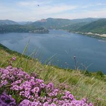
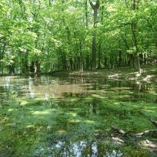
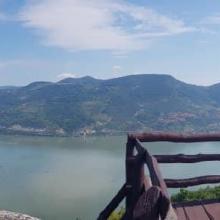
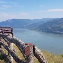
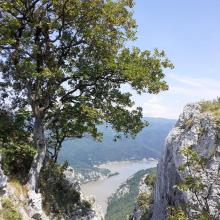
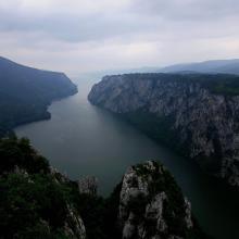
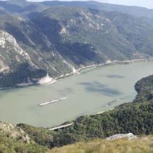

Djerdap
-
Country:Serbia
-
Designation date:08-06-2020
-
Site number:2442
-
Published since:3 year(s)
66,525 ha -
-
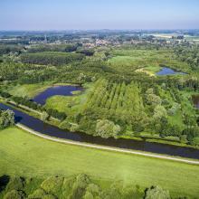
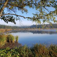
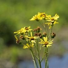
Vallées de la Scarpe et de l'Escaut
-
Country:France
-
Designation date:02-02-2020
-
Site number:2405
-
Published since:4 year(s)
27,622 ha -
-

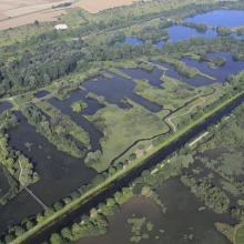
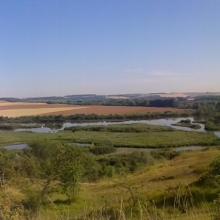

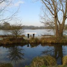
Marais et tourbières des vallées de la Somme et de l’Avre
-
Country:France
-
Designation date:18-12-2017
-
Site number:2322
-
Published since:6 year(s)
13,100 ha -
-
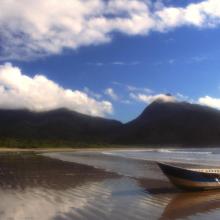
Environmental Protection Area of Cananéia-Iguape-Peruíbe
-
Country:Brazil
-
Designation date:04-09-2017
-
Site number:2310
-
Published since:6 year(s)
202,307 ha -
-
Marais Breton, Baie de Bourgneuf, Ile de Noirmoutier et Forêt de Monts
-
Country:France
-
Designation date:02-02-2017
-
Site number:2283
-
Published since:7 year(s)
55,826 ha -
-
Pripyatsky National Park
-
Country:Belarus
-
Designation date:29-03-2013
-
Site number:2197
-
Published since:3 year(s)
88,553 ha -
-

La Tembladera
-
Country:Ecuador
-
Designation date:06-12-2011
-
Site number:1991
-
Published since:12 year(s)
1,471 ha -
-
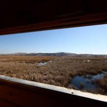
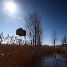
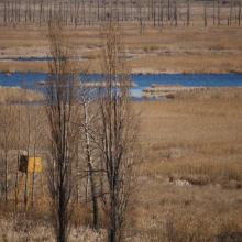
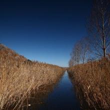
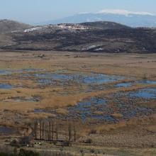
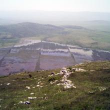
Dragoman Marsh Karst Complex
-
Country:Bulgaria
-
Designation date:11-02-2011
-
Site number:1970
-
Published since:4 year(s)
14,941 ha -
-

Humedal de Importancia Internacional Damani-Guariviara
-
Country:Panama
-
Designation date:09-03-2010
-
Site number:1907
-
Published since:14 year(s)
24,089 ha -
-
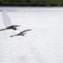
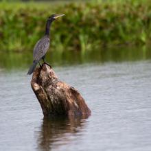
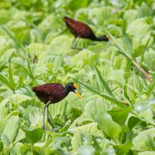
Laguna de Olomega
-
Country:El Salvador
-
Designation date:02-02-2010
-
Site number:1899
-
Published since:2 year(s)
7,557 ha -

