Search results

Map

Choose map: | | Download Centroids / Boundaries / Map (pdf)
Materials presented on this website, particularly maps and territorial information, are as-is and as-available based on available data and do not imply the expression of any opinion whatsoever on the part of the Secretariat of the Ramsar Convention concerning the legal status of any country, territory, city or area, or of its authorities, or concerning the delimitation of its frontiers or boundaries.

List

  1. Mana Pools National Park

    Mana Pools National Park

    • Country: 
      Zimbabwe
    • Designation date: 
      03-05-2013
    • Site number: 
      2106
    • Published since: 
      8 year(s)
    220,034 ha
  2. Abdim Stork at  Monavale Vlei
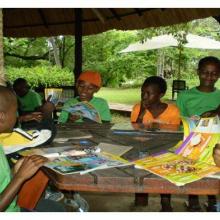
    COSMO Kids Club at Monavale Vlei

    Monavale Wetland

    • Country: 
      Zimbabwe
    • Designation date: 
      03-05-2013
    • Site number: 
      2107
    • Published since: 
      8 year(s)
    507 ha
  3. Victoria Falls
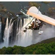
    Victoria Falls
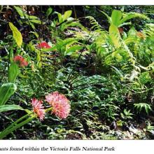
    Plant species
    tourism in Victoria Falls

    Victoria Falls National Park

    • Country: 
      Zimbabwe
    • Designation date: 
      03-05-2013
    • Site number: 
      2108
    • Published since: 
      8 year(s)
    1,750 ha
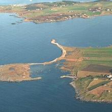
  4. Aerial photo of sub-site Børaunen
    Old stone fences, typical for this area.
    The sub-site Børaunen
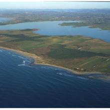
    The sand beaches With lake Orrevatnet in the background
    The mire at sub-site Storamyr.
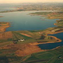
    Aerial photo of sub-site Orre With lake Ergavatnet.

    Jaeren wetland system

    • Country: 
      Norway
    • Designation date: 
      24-07-1985
    • Site number: 
      309
    • Published since: 
      6 year(s)
    3,085 ha
  5. Until the bay is completely covered with ice, ducks will not fly further south.
    The shallow bay is the best feeding ground for Cygnus cygnus.
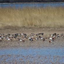
    Anas penelope refreshes for a long road
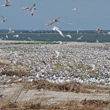
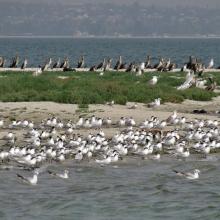
    The colony of Thalasseus sandvicensis on the terminus of the Bilosaraiska Spit
    Larus genei settle near Thalasseus sandvicensis.
    Larus genei settle near Thalasseus sandvicensis.
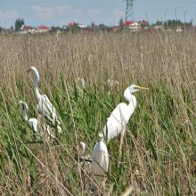
    At the colony of Ardea alba.
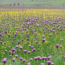
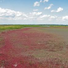
    Halophytic meadows with Rhaponticum serratuloides.
    Psammophyte-steppe area with Iris pumila.
    Shallow saline lakes attract the birds due to their security and food availability.
    In summer, almost all saline shallow lakes are dried-up.

    Bilosaraiska Bay and Bilosaraiska Spit

    • Country: 
      Ukraine
    • Designation date: 
      28-02-1997
    • Site number: 
      773
    • Published since: 
      2 year(s)
    11,281 ha
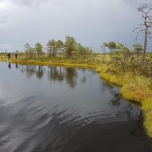
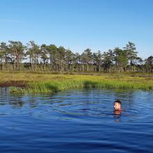
  6. Bog pool in Kuresoo, Soomaa NP
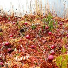
    Cranberries on Sphagnum carpet, near bog pool. Drosera flower sems in background.
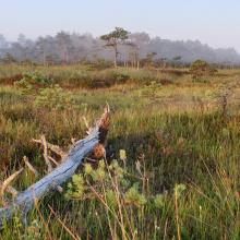
    Morning mist on raised bog, with cottongrass and white beak-sedge.
    Raised bog margin with hollows and Sphagnum mosses
    Recreational use of Soomaa NP. Colors of raised bog. Bogshoeing.
    Riisa bog in Soomaa NP. Bog pool.
    Dugout canoe is a practical vessel during flood "fifth" season.
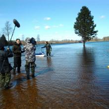
    The flood "fifth" season in Soomaa NP. You can canoe in the woods.
    The flood "fifth" season in Soomaa NP. Typical sight.
    The flood "fifth" season in Soomaa NP. Flooded road in Riisa village.
    The flood "fifth" season in Soomaa NP. Flooded road in the woods.
    The flood "fifth" season in Soomaa NP. Flooded meadow with oaks. Floods ocur also in autumn with heavy rains.

    Soomaa

    • Country: 
      Estonia
    • Designation date: 
      05-06-1997
    • Site number: 
      912
    • Published since: 
      4 year(s)
    39,639 ha
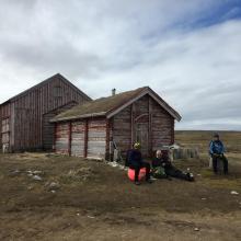
  7. The Hammerfest building, the oldest standing building on Svalbard
    Revdalen, towards Kapp Kolthoff
    Bird research in Revdalen
    Gravodden and the metrological station (not part of the ramsar area)
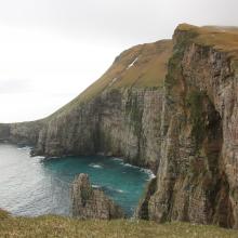
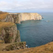
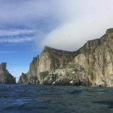
    Stappen

    Bear Island

    • Country: 
      Norway
    • Designation date: 
      12-11-2010
    • Site number: 
      1966
    • Published since: 
      6 year(s)
    298,171 ha
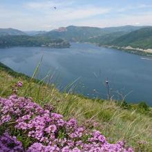
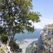
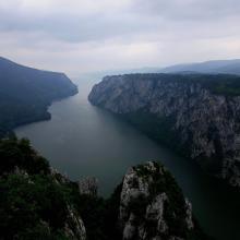
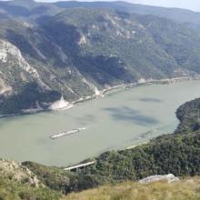
  8. Danube marshy river banks
    Kovilovo
    Kovilovo
    Kovilovo
    Kovilovo
    Mali Strbac
    Ploce
    Sokolovac
    Sokolovac

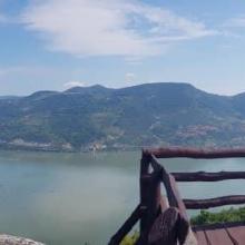
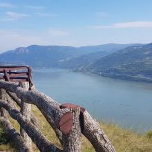
    Djerdap

    • Country: 
      Serbia
    • Designation date: 
      08-06-2020
    • Site number: 
      2442
    • Published since: 
      3 year(s)
    66,525 ha
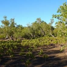
  9. Village d'Ankazomborona et mangroves dans la Baie d'Ambaro
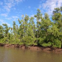
    Mangroves le long du chenal
    Zone de restauration
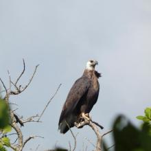
    Haliaeetus vociferoides
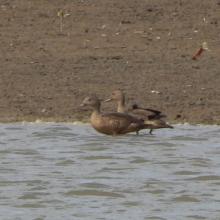
    Anas bernieri
    Ardea humbloti
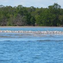
    Peuplement de Sterna bengalensis
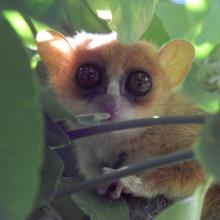
    Microcebus sambiranensis
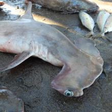
    Shpyrna mokarran
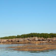
    Village de pêcheurs
    Femme pêcheur
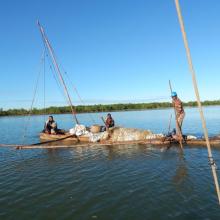
    Pêcheurs

    Mangroves de la Baie d'Ambaro

    • Country: 
      Madagascar
    • Designation date: 
      20-08-2020
    • Site number: 
      2438
    • Published since: 
      3 year(s)
    54,000 ha
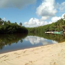
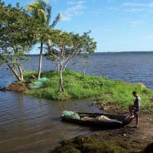
  10. Esta imagen es de Laguna Redonda, es una Laguna Costera
    Esta imagen muestra la Laguna Limón, es un humedal de agua dulce, que tiene conectividad con el Caño Celedonio
    Imagen de la laguna Limón
    La imagen es del Caño Celedonio.
    Imagen de la laguna Limón
    Esta imagen es de Laguna Redonda, es una Laguna Costera

    Refugio de Vida Silvestre Laguna Redonda y Limón (Los Humedales del Refugio de Vida Silvestre Laguna Redonda y Limón, Miches y Ria Maimón)

    • Country: 
      Dominican Republic
    • Designation date: 
      13-10-2022
    • Site number: 
      2498
    • Published since: 
      1 year(s)
    5,754 ha

Pages

Stats


Exports

Export Sites information

For a summary list of all the Ramsar Sites in pdf format, click here.

Generate reports of selected Sites

You can generate a report based on the filters you have applied, in either pdf or xls format. The report will sort the results by the Site name, unless you have sorted them by another variable.

For the pdfs, you can choose whether to include the introductory text on each Site, or just show the key data in a shorter report.

To receive a report, please provide your email address and enter the text in the verification picture into the textbox.

As soon as the list has been generated an e-mail will be sent to you with the link to access the file.