Search results
Search found 322 Ramsar Sites covering 16,822,149 ha
- (-) Remove Region/country: Oceania filter Region/country: Oceania
- (-) Remove Sites on Montreux record?: No filter Sites on Montreux record?: No
- (-) Remove Region/country: Cabo Verde filter Region/country: Cabo Verde
- (-) Remove Ramsar criteria: 3 filter Ramsar criteria: 3
- (-) Remove Region/country: Africa filter Region/country: Africa
- (-) Remove Region/country: Eswatini filter Region/country: Eswatini
- (-) Remove Region/country: Gabon filter Region/country: Gabon
- (-) Remove Region/country: Liberia filter Region/country: Liberia
- (-) Remove Region/country: Europe filter Region/country: Europe
- (-) Remove Wetland type: Marine or coastal wetlands filter Wetland type: Marine or coastal wetlands
- (-) Remove Region/country: Egypt filter Region/country: Egypt
- (-) Remove Region/country: Algeria filter Region/country: Algeria
Map
Materials presented on this website, particularly maps and territorial information, are as-is and as-available based on available data and do not imply the expression of any opinion whatsoever on the part of the Secretariat of the Ramsar Convention concerning the legal status of any country, territory, city or area, or of its authorities, or concerning the delimitation of its frontiers or boundaries.
List
-
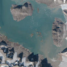
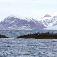


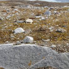
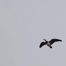


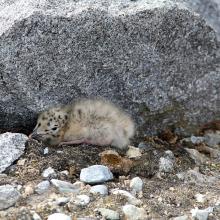
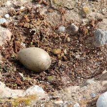
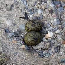
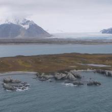
Kongsfjorden
-
Country:Norway
-
Designation date:24-07-1985
-
Site number:315
-
Published since:6 year(s)
710 ha -
-
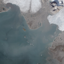

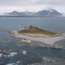
Isøyane
-
Country:Norway
-
Designation date:24-07-1985
-
Site number:316
-
Published since:6 year(s)
230 ha -
-

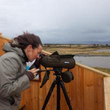
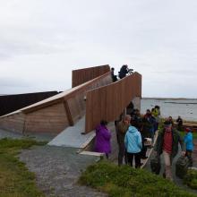
Ørland Wetland System
-
Country:Norway
-
Designation date:24-07-1985
-
Site number:310
-
Published since:6 year(s)
3,168 ha -
-

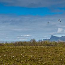
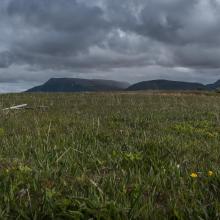
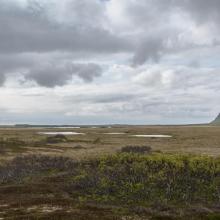
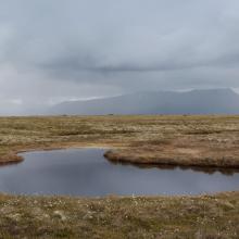
Skogvoll
-
Country:Norway
-
Designation date:06-08-2002
-
Site number:1195
-
Published since:6 year(s)
5,544 ha -
-

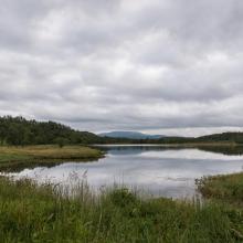
Evenes wetland system
-
Country:Norway
-
Designation date:12-11-2010
-
Site number:1949
-
Published since:6 year(s)
434 ha -
-


Ilene and Presterodkilen Wetland System
-
Country:Norway
-
Designation date:24-07-1985
-
Site number:308
-
Published since:6 year(s)
216 ha -
-
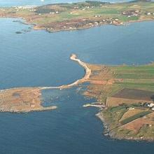

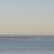
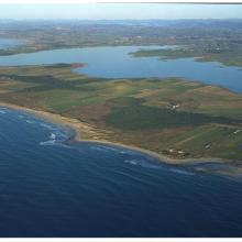
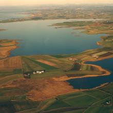
Jaeren wetland system
-
Country:Norway
-
Designation date:24-07-1985
-
Site number:309
-
Published since:6 year(s)
3,085 ha -
-
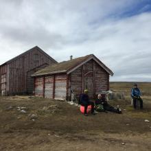
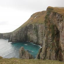

Bear Island
-
Country:Norway
-
Designation date:12-11-2010
-
Site number:1966
-
Published since:6 year(s)
298,171 ha -
-
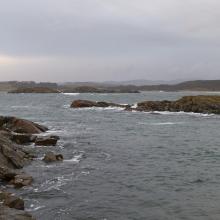
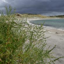
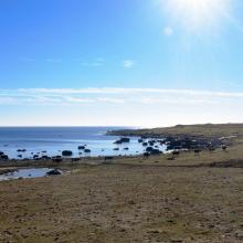
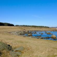
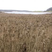
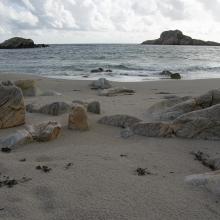


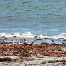
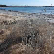

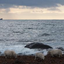
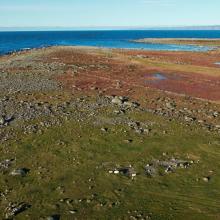
Lista Wetlands System
-
Country:Norway
-
Designation date:18-03-1996
-
Site number:804
-
Published since:6 year(s)
1,173 ha -
-
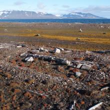

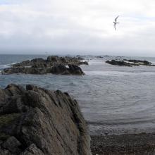

Sørkapp
-
Country:Norway
-
Designation date:12-11-2010
-
Site number:1965
-
Published since:6 year(s)
55,203 ha -

