Search results

Map

Choose map: | | Download Centroids / Boundaries / Map (pdf)
Materials presented on this website, particularly maps and territorial information, are as-is and as-available based on available data and do not imply the expression of any opinion whatsoever on the part of the Secretariat of the Ramsar Convention concerning the legal status of any country, territory, city or area, or of its authorities, or concerning the delimitation of its frontiers or boundaries.

List

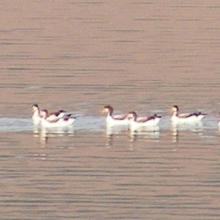
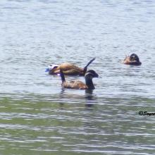
  1. Fuligule nyroca  adultes et poussins
    Tadorne de belon adulte et poussin
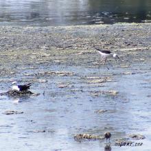
    Nidification Echasse blanche
    Erismature à tête blanche
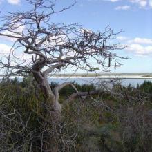
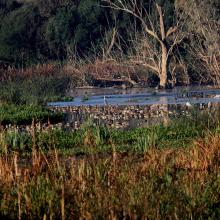
    Importance du site Biodiversité Et Richesse spécifique hivernage

    Réserve Naturelle du Lac de Réghaïa

    • Country: 
      Algeria
    • Designation date: 
      06-04-2003
    • Site number: 
      1304
    • Published since: 
      5 year(s)
    842 ha
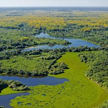
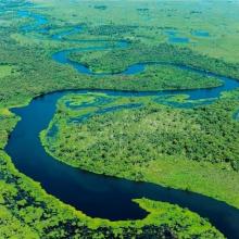
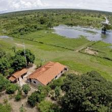
  2. SESC Pantanal
    Campo Alagado - Pantanal - MT
    SESC Pantanal
    RPPN Sesc Pantanal
Photo : Haroldo Palo Jr.
    RPPN Sesc Pantanal
Photo : Haroldo Palo Jr.
    RPPN Sesc Pantanal
Photo : Haroldo Palo Jr.
    RPPN Sesc Pantanal
Photo : Haroldo Palo Jr.

    Private Reserve of Natural Heritage Sesc Pantanal (Reserva Particular do Patrimonio Natural SESC Pantanal)

    • Country: 
      Brazil
    • Designation date: 
      06-12-2002
    • Site number: 
      1270
    • Published since: 
      4 year(s)
    87,871 ha
  3. Ramsar logo

    Humedal Delta del Cauto

    • Country: 
      Cuba
    • Designation date: 
      18-11-2002
    • Site number: 
      1236
    • Published since: 
      21 year(s)
    47,836 ha
  4. Ramsar logo

    Malagarasi-Muyovozi Wetlands

    • Country: 
      United Republic of Tanzania
    • Designation date: 
      13-04-2000
    • Site number: 
      1024
    • Published since: 
      24 year(s)
    3,250,000 ha
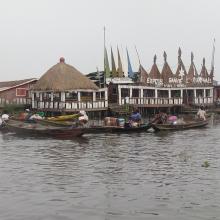
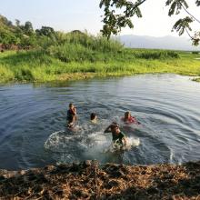
  5. Hotel Chez Raphael dans le village lacustre de Ganvie. Zone touristique dans le site Ramsar 1018
    Plaine inondable de la riviere So dans la Commune de So-Ava. Site d'accueil des oiseaux d'eau migrateurs
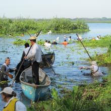
    Zone du Lac Nokoue investie par la Jacinthe d'eau. On peut noter aussi sur la photo l'installation des filets pour la capture des poissons

    Basse Vallée de l'Ouémé, Lagune de Porto-Novo, Lac Nokoué

    • Country: 
      Benin
    • Designation date: 
      24-01-2000
    • Site number: 
      1018
    • Published since: 
      4 year(s)
    652,760 ha
  6. Le lac Toho
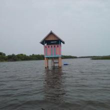
    Mirador sur la portion sacrée de la lagune côtière à Ahloboe dans la commune de Ouidah
    Cormoran sur les piquets d'Acadja sur le Lac Ahémé
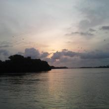
    Coucher du soleil sur la lagune côtière à Grand-Popo
    Lâcher de jeunes tortues marines à Grand-Popo
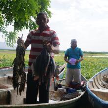
    Pêcheur sur le Lac Ahémé
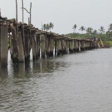
    Pont de fortune sur la lagune côtière dans la commune de Ouidah
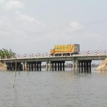
    Pont entre le Lac Ahémé et le Chenal Aho sur la Route Nationale Inter Etat Cotonou-Lomé
    Portion de mangrove sacralisée sur la lagune côtière à Grand-Popo
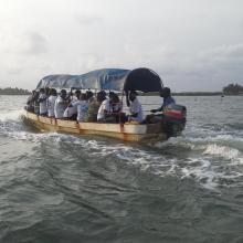
    En route pour la visite de l'Aire Communautaire de Conservation de la Biodiversité de la Bouche du Roy à Grand-Popo

    Basse Vallée du Couffo, Lagune Côtiere, Chenal Aho, Lac Ahémé

    • Country: 
      Benin
    • Designation date: 
      24-01-2000
    • Site number: 
      1017
    • Published since: 
      4 year(s)
    524,289 ha
  7. Anguila_Synbranchus marmoratus
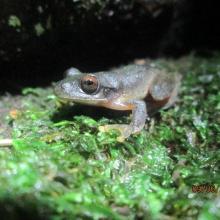
    Ptychohyla salvadorensis_El Jocotal
    Panorámica_Laguna El Jocotal
    Personas dentro de la laguna
    Pescadores El Jocotal
    Remoción de Jacinto de Agua_2
    Remoción de Jacinto de Agua_1
    Ardea alba, Egretta thula, E. caerulea, Nycticorax nycticorax
    Rostrhamus sociabilis

    Area Natural Protegida Laguna del Jocotal

    • Country: 
      El Salvador
    • Designation date: 
      22-01-1999
    • Site number: 
      970
    • Published since: 
      2 year(s)
    4,479 ha
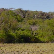
  8.  Baobabs on escarpment, Lac Tsimanamsotsa, eastern shore.
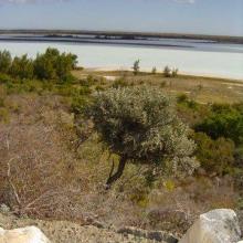
     View west across Lac Tsimanamsotsa from escarpment.
    West shore Lac Tsimanampetsotsa, looking south.
    Baobabs on escarpment, Lac Tsimanamsotsa, eastern shore.
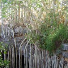
    Fig on rim of garotte, Lac Tsimanamsotsa.
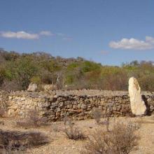
    Malahafy tomb with zebu skulls, Lac Tsimanamsotsa.
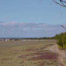
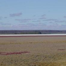
    View east across Lac Tsimanamsotsa, north end.
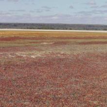
    View east across salicornia, Lac Tsimanamsotsa, north end.
    View south along west shore, Lac Tsimanamsotsa.
    View southwest across Lac Tsimanamsotsa from escarpment.
    View west across Lac Tsimanamsotsa from escarpment.

    Parc national Tsimanampesotse

    • Country: 
      Madagascar
    • Designation date: 
      25-09-1998
    • Site number: 
      962
    • Published since: 
      8 year(s)
    203,740 ha
  9. Ramsar logo

    Bolinas Lagoon

    • Country: 
      United States of America
    • Designation date: 
      01-09-1998
    • Site number: 
      960
    • Published since: 
      16 year(s)
    445 ha
  10. Ramsar logo

    Zona Reservada Los Pantanos de Villa

    • Country: 
      Peru
    • Designation date: 
      20-01-1997
    • Site number: 
      884
    • Published since: 
      27 year(s)
    263 ha

Pages

Stats


Exports

Export Sites information

For a summary list of all the Ramsar Sites in pdf format, click here.

Generate reports of selected Sites

You can generate a report based on the filters you have applied, in either pdf or xls format. The report will sort the results by the Site name, unless you have sorted them by another variable.

For the pdfs, you can choose whether to include the introductory text on each Site, or just show the key data in a shorter report.

To receive a report, please provide your email address and enter the text in the verification picture into the textbox.

As soon as the list has been generated an e-mail will be sent to you with the link to access the file.