Parc national Tsimanampesotse
Parc national Tsimanampesotse
- Country:
- Madagascar
- Site number:
- 962
- Area:
- 203,740.0 ha
- Designation date:
- 25-09-1998
- Coordinates:
- 24°22'39"S 43°58'32"E
Carousel
CarouselMaterials presented on this website, particularly maps and territorial information, are as-is and as-available based on available data and do not imply the expression of any opinion whatsoever on the part of the Secretariat of the Ramsar Convention concerning the legal status of any country, territory, city or area, or of its authorities, or concerning the delimitation of its frontiers or boundaries.
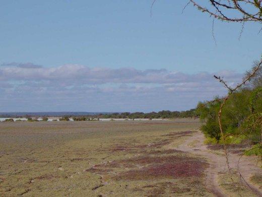
Located in south-west Madagascar, Tsimanampesotse is a unique natural reserve characterized by a shallow alkaline salty lake with open waters and mudflats surrounded by halophytic plants which support large breeding colonies of the vulnerable Madagascan grebe (Tachybaptus pelzelnii). About 90% of the Site’s flora and fauna are endemic. Huge baobabs and banyan trees and dense xerophilous thickets cover the calcareous plateau inside the park and offer ideal habitat for sizeable populations of migratory shorebirds, notably the greater and lesser flamingos which are the main attractions in the area. Aside from birds, globally threatened mammals such as the ring-tailed lemur, Verreaux´s sifaka, and white-footed sportive lemur also inhabit the Site. Bats, birds, snakes and the emblematic blind fish (Typhleotris madagascariensis) are all supported by its underground networks of streams and limestone cave systems. The spiritual and historical ties between the park and its communities testify to its strong cultural importance as well as its natural beauty.
Administrative region:
Province de Toliara
National legal designation:
- Parc National - Parc national Tsimanampesotse
Last publication date:
14-08-2015
Ramsar Information Sheet (RIS)
- MG962RIS_1508_fr.pdf
- MG962RISformer_EN.pdf
- MG962RISformer_141205.pdf
- MG962_map1412.pdf
Archived RIS
Site map
Additional reports and documents
Other published literature


