Search results
Search found 46 Ramsar Sites covering 7,301,022 ha
- (-) Remove Picture available?: Yes filter Picture available?: Yes
- (-) Remove Threats: Invasive and other problematic species and genes filter Threats: Invasive and other problematic species and genes
- (-) Remove Statutory designation taxonomy: Overlapping site categories filter Statutory designation taxonomy: Overlapping site categories
- (-) Remove Threats: Energy production and mining filter Threats: Energy production and mining
- (-) Remove Threats: Human settlements (non agricultural) filter Threats: Human settlements (non agricultural)
- (-) Remove Threats: Housing and urban areas filter Threats: Housing and urban areas
- (-) Remove Threats: Water regulation filter Threats: Water regulation
- (-) Remove Wetland type: Human-made wetlands filter Wetland type: Human-made wetlands
Map
Materials presented on this website, particularly maps and territorial information, are as-is and as-available based on available data and do not imply the expression of any opinion whatsoever on the part of the Secretariat of the Ramsar Convention concerning the legal status of any country, territory, city or area, or of its authorities, or concerning the delimitation of its frontiers or boundaries.
List
-
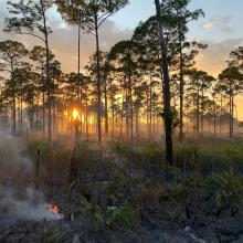
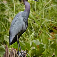
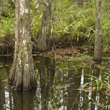
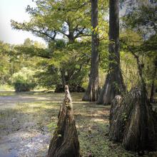


Corkscrew Swamp Sanctuary
-
Country:United States of America
-
Designation date:23-03-2009
-
Site number:1888
-
Published since:2 year(s)
5,261 ha -
-
Desna River Floodplains
-
Country:Ukraine
-
Designation date:17-11-2003
-
Site number:1398
-
Published since:2 year(s)
4,270 ha -
-
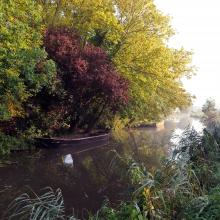
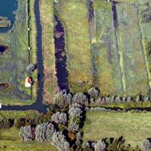

Le Marais audomarois
-
Country:France
-
Designation date:15-09-2008
-
Site number:1835
-
Published since:6 year(s)
3,726 ha -
-
Lake Kolon at Izsák
-
Country:Hungary
-
Designation date:30-04-1997
-
Site number:902
-
Published since:8 year(s)
3,059 ha -
-
Laidevahe
-
Country:Estonia
-
Designation date:24-03-2003
-
Site number:1271
-
Published since:4 year(s)
2,424 ha -
-


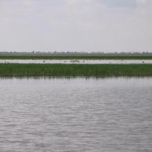
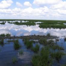
Big Chapelsk Depression
-
Country:Ukraine
-
Designation date:17-11-2003
-
Site number:1397
-
Published since:2 year(s)
2,359 ha -
-
Réserve Intégrale du Lac Oubeïra
-
Country:Algeria
-
Designation date:04-11-1983
-
Site number:280
-
Published since:6 year(s)
2,200 ha -
-

Haut Oued Lakhdar
-
Country:Morocco
-
Designation date:16-04-2019
-
Site number:2372
-
Published since:4 year(s)
2,200 ha -
-
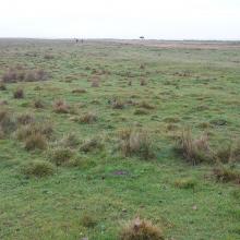
Ottenby
-
Country:Sweden
-
Designation date:05-12-1974
-
Site number:17
-
Published since:5 year(s)
1,856 ha -
-

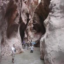

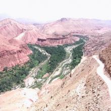


Assif Mgoun
-
Country:Morocco
-
Designation date:16-04-2019
-
Site number:2376
-
Published since:4 year(s)
1,400 ha -

