Search results

Map

Choose map: | | Download Centroids / Boundaries / Map (pdf)
Materials presented on this website, particularly maps and territorial information, are as-is and as-available based on available data and do not imply the expression of any opinion whatsoever on the part of the Secretariat of the Ramsar Convention concerning the legal status of any country, territory, city or area, or of its authorities, or concerning the delimitation of its frontiers or boundaries.

List

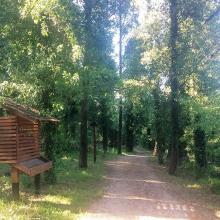
  1. Educational trail
    Karaotok
    Karaotok
    Karaotok
    Karaotok
    Educational trail
    Educational trail
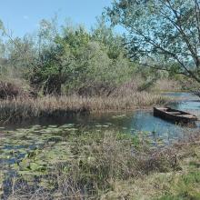
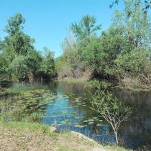
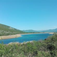
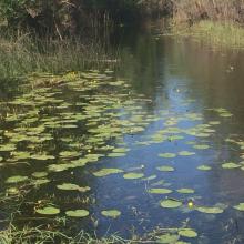
    Lake Škrka
    Lake Svitava
    Nuphar lutea
    Natrix tesselata
    Vipera ammodytes

    Hutovo Blato

    • Country: 
      Bosnia and Herzegovina
    • Designation date: 
      24-09-2001
    • Site number: 
      1105
    • Published since: 
      4 year(s)
    7,824 ha
  2. Dallol Bosso
    Dallol Bosso
    Dallol Bosso
    Dallol Bosso
    Dallol Bosso

    Dallol Bosso

    • Country: 
      Niger
    • Designation date: 
      26-04-2004
    • Site number: 
      1382
    • Published since: 
      6 year(s)
    892,122 ha
  3. Slow water course of Emån, downstream
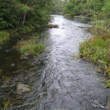
    A stream water course of Emån, more upstream
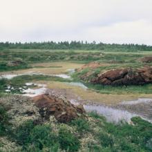
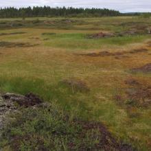
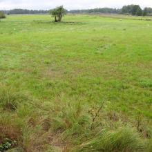
    Ungrazed wetland near Emån
    Grazed wetland near Emån

    Emån

    • Country: 
      Sweden
    • Designation date: 
      14-11-2001
    • Site number: 
      1118
    • Published since: 
      5 year(s)
    1,527 ha
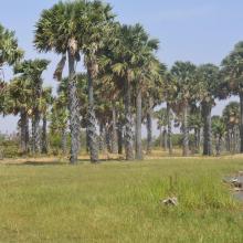
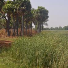
  4. Mare Yanguali dans la plaine d’inondation de la Rivière Pendjari
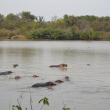
    Mares au Hippo dans la plaine d’inondation de la rivière Pendjari
    Mare Yanguali dans la plaine d’inondation de la Rivière Pendjari

    Zone Humide de la Rivière Pendjari

    • Country: 
      Benin
    • Designation date: 
      02-02-2007
    • Site number: 
      1669
    • Published since: 
      5 year(s)
    483,366 ha
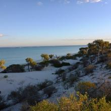
  5. Baie de Beheloka
    parcelle 7 et 8
    plage zone de ponte
    plage zone de ponte
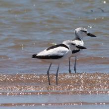
    Dromas adreola
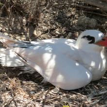
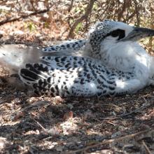
    Phaethon rubricauda
    Phaethon rubricauda
    Sterna bengalensis

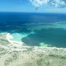
    Barrière de Corail Nosy Ve Androka

    • Country: 
      Madagascar
    • Designation date: 
      02-02-2017
    • Site number: 
      2285
    • Published since: 
      7 year(s)
    91,445 ha
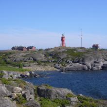
  6. Svenska Högarna, Natura 2000 and Nature Reserve
    Stora Nassa, Natura 2000 and Nature Reserve
    Sailing boat in Lilla Nassa archipelago
    Marine diversity at the site

    Svenska Högarna-Nassa

    • Country: 
      Sweden
    • Designation date: 
      12-06-1989
    • Site number: 
      435
    • Published since: 
      7 year(s)
    15,210 ha
  7. Le fleuve Onilahy
    Fourrée xérophytes
    Champs de culture autour du fleuve
    Fourrée xérophytes à Euphorbia
    Riziculture dans la basse vallée de l'Onilahy
    Plantation de mais sur le Baiboho
    Forêt ripicole
    Forêt ripicole le long de l'Onilahy
    Vue sur le fleuve Onilahy
    Un des sept lacs à Ifanoto
    Buteo brachypterus

    Zones humides de l'Onilahy

    • Country: 
      Madagascar
    • Designation date: 
      22-05-2017
    • Site number: 
      2304
    • Published since: 
      6 year(s)
    42,950 ha
  8. La rivière Lufira
    Le lac Tshangalele qui est dans le bassin de la lufira
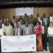
    La photo de l'atelier avec les autorités provinciales
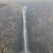
    Chutte de Lofoi

    Bassin de la Lufira

    • Country: 
      Democratic Republic of the Congo
    • Designation date: 
      31-10-2017
    • Site number: 
      2318
    • Published since: 
      6 year(s)
    4,470,993 ha
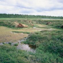
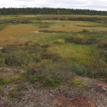
  9. Palsa mire in the central parts of Mannavuoma.
    Palsa mire in the central parts of Mannavuoma. Since 1967 the palsa has collapsed.
    Palsa mire in the central parts of Mannavuoma.
    Palsa mire in the central parts of Mannavuoma. Since 1967 the palsa has collapsed.

    Mannavuoma

    • Country: 
      Sweden
    • Designation date: 
      19-03-2013
    • Site number: 
      2172
    • Published since: 
      6 year(s)
    704 ha
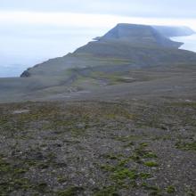
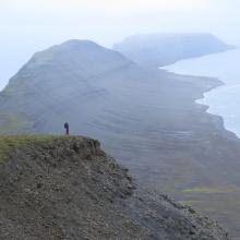
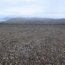
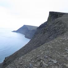
  10. Iversenfjellet, view north
    Johan Hjortfjellet towards Småhumpen
    Johan Hjortfjellet, view south
    Kvasstoppen towards Askeheimodden
    Thorkelsenskaret, view south

    Hopen

    • Country: 
      Norway
    • Designation date: 
      12-11-2010
    • Site number: 
      1957
    • Published since: 
      6 year(s)
    318,567 ha

Pages

Stats


Exports

Export Sites information

For a summary list of all the Ramsar Sites in pdf format, click here.

Generate reports of selected Sites

You can generate a report based on the filters you have applied, in either pdf or xls format. The report will sort the results by the Site name, unless you have sorted them by another variable.

For the pdfs, you can choose whether to include the introductory text on each Site, or just show the key data in a shorter report.

To receive a report, please provide your email address and enter the text in the verification picture into the textbox.

As soon as the list has been generated an e-mail will be sent to you with the link to access the file.