Chott El Hodna
Chott El Hodna
- Country:
- Algeria
- Site number:
- 1053
- Area:
- 362,000.0 ha
- Designation date:
- 02-02-2001
- Coordinates:
- 35°26'04"N 04°41'54"E
Carousel
CarouselMaterials presented on this website, particularly maps and territorial information, are as-is and as-available based on available data and do not imply the expression of any opinion whatsoever on the part of the Secretariat of the Ramsar Convention concerning the legal status of any country, territory, city or area, or of its authorities, or concerning the delimitation of its frontiers or boundaries.
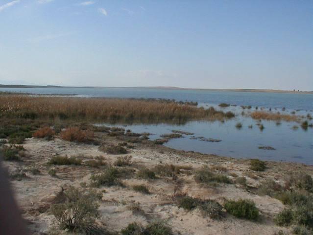
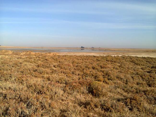
Chott El Hodna is part of a serie of chotts (salt lakes) fed by water from the Tell Atlas range to the north and the Saharan Atlas to the south. The landscape features vegetated Maghreb steppe with seasonal brackish and saline lakes and pools, marshes and freshwater springs. Around the chott are wadis (valleys) and oases, and a surrounding sebkha (salt flat) which is devoid of vegetation. The remarkable animal and plant population is important for the biodiversity of the Hodna region. There are 119 species of birds, 10 of reptiles and 20 of mammals such as the vulnerable Cuvier’s gazelle (Gazella cuvieri) and African houbara (Chlamydotis undulata). Among the bird species found are the vulnerable marbled teal (Marmaronetta angustirostris); the collared pratincole (Glareola pratincola) and black-bellied sandgrouse (Pterocles orientalis) also nest here. The Site is home to Roman ruins and other archaeological remains. The main human activities are pastoralism and salt production. Potential threats include pollution from urban and industrial waste water; over-exploitation of water, salt, sand, and soil; over-grazing; and tree cutting for firewood.
- none
- DZ1053RIS_1804_fr.pdf
- DZ1053RISformer.pdf
- DZ1053RISformer_160107.pdf
- DZ1053map.pdf


