Complexe Kokorou-Namga
Complexe Kokorou-Namga
- Country:
- Niger
- Site number:
- 1071
- Area:
- 66,829.0 ha
- Designation date:
- 17-06-2001
- Coordinates:
- 14°10'04"N 00°57'E
Carousel
CarouselMaterials presented on this website, particularly maps and territorial information, are as-is and as-available based on available data and do not imply the expression of any opinion whatsoever on the part of the Secretariat of the Ramsar Convention concerning the legal status of any country, territory, city or area, or of its authorities, or concerning the delimitation of its frontiers or boundaries.
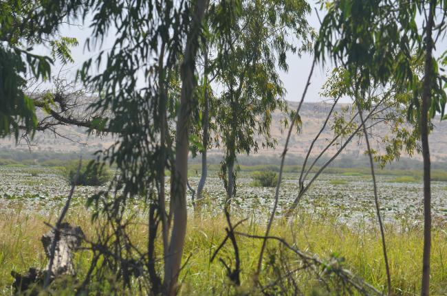
Part of a wetland shared with Burkina Faso and Mali, the Site comprises four permanent and semi-permanent marshes and pools in a former tributary of the River Niger. Internationally important for a number of reasons, it is particularly valued for its support to waterbirds, with nearly 50,000 representatives of 56 species counted in 2000. The complex is home to endangered species such as the black-crowned crane (Balearica pavonina), the common moorhen (Gallinula chloropus) and the western swamphen (Porphyrio porphyrio). Three ethnic groups inhabit the region, which are largely Muslim but with a richness which includes veneration of a serpent considered to be a protective spirit for Kokorou and the people living there. Deforestation and overgrazing, as well as desertification, are considered to be threats. The Site has been included as a demonstration project under the African-Eurasian Migratory Waterbird Agreement (AEWA) funded by GEF.
- NE1071RIS_1804_fr.pdf
- NE1071RISformer.pdf
- NE1071RISformer_171211.pdf
- NE1071_map180127.pdf
- NE1071_taxo161020.docx


