Övre Sulån
Övre Sulån
- Country:
- Sweden
- Site number:
- 1130
- Area:
- 350.0 ha
- Designation date:
- 14-11-2001
- Coordinates:
- 62°35'44"N 16°50'13"E
Carousel
CarouselMaterials presented on this website, particularly maps and territorial information, are as-is and as-available based on available data and do not imply the expression of any opinion whatsoever on the part of the Secretariat of the Ramsar Convention concerning the legal status of any country, territory, city or area, or of its authorities, or concerning the delimitation of its frontiers or boundaries.
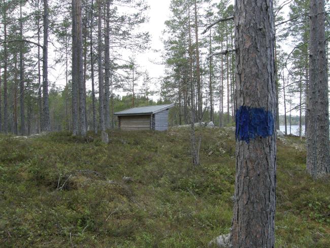
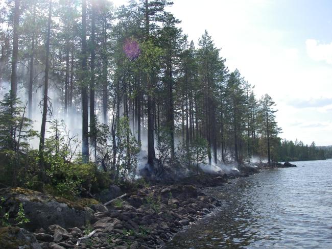
The Site consists of an oligotrophic lake (Sulsjön) and the upper part of a narrow, winding stream (Sulån). Peatlands, marshes and fresh water forests are also present; they cover smaller areas and are scattered, as is typical in this part of Sweden. The forests surrounding the upper parts of the river are about 100 years old. They have remained unaffected by modern forestry and are thought to be the result of natural growth after small-scale logging. The River Sulån is one of the most valuable sites in Sweden for the endangered freshwater pearl mussel Margaritifera margaritifera: the population is very dense and large, with a large proportion of mussels being smaller than 50 mm, indicating that the population is viable. The mussels depend on the natural population of trout Salmo trutta in the lake and the river (which host the mussel larvae) to maintain a viable population. The Site has been known previously as Sulsjön-Sulån and its boundaries have changed to include the important wetland habitats and to exclude areas of no international conservation value.
Administrative region:
Västernorrland county
National legal designation:
- Nature Reserve - Övre Sulån
Regional (international) legal designations:
- EU Natura 2000
Last publication date:
25-01-2017
Ramsar Information Sheet (RIS)
- SE1130RIS_1701_en.pdf
- SE1130RISformer_150218.pdf
- SE1130_map1503.pdf
Archived RIS
Site map
Additional reports and documents
Other published literature


