Yagorlytska Bay
Yagorlytska Bay
- Country:
- Ukraine
- Site number:
- 116
- Area:
- 39,692.7 ha
- Designation date:
- 28-02-1997
- Coordinates:
- 46°24'29"N 31°52'03"E
Carousel
CarouselMaterials presented on this website, particularly maps and territorial information, are as-is and as-available based on available data and do not imply the expression of any opinion whatsoever on the part of the Secretariat of the Ramsar Convention concerning the legal status of any country, territory, city or area, or of its authorities, or concerning the delimitation of its frontiers or boundaries.
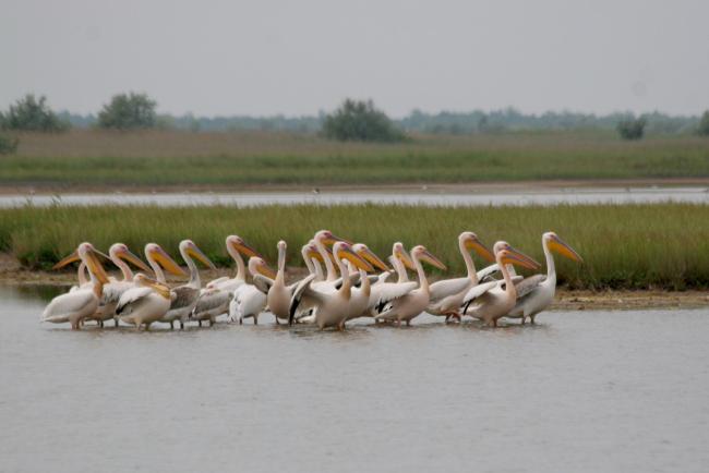
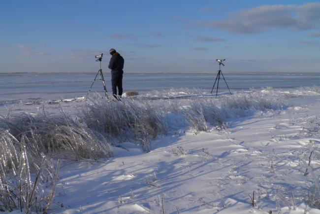
This Black Sea bay consists of several islands, saline lakes and temporary water bodies. It was originally designated in 1976 by the Soviet Union as part of the Site “Danube Delta and Tendrov/Yagorlitz Bays”. In 1995, after accession of Ukraine, that Site was split into three: Yagorlytska Bay, Tendrivska Bay (Ramsar Site no.768), and Kyliiske Mouth (Site no.113). In 2021 the boundary of Yagorlytska Bay was extended to include a large system of saltwater lakes in the north, and the total area increased by over 5,600 hectares. It is one of the least-disturbed wetlands in the Black Sea coastal region and supports a high level of biodiversity with many endemic species. It is a refuge for protected animals such as the sandy mole rat (Spalax arenarius), the viper Vipera renardi and two critically endangered sturgeons, Huso huso and Acipenser stellatus. Located at the intersection of two migration routes, it is an important resting place and wintering area for many birds including the whooper swan (Cygnus cygnus). As part of the Black Sea Biosphere Reserve, the Site is significant for long-term monitoring and scientific education.
- UNESCO Biosphere Reserve
- Biosphere Reserve - Black Sea Biosphere Reserve NAS of Ukraine
- Regional Landscape Park - Kinburn Spit
- State Ornithological Reserve - "Yahorlytsky"
- Other international designation
- UA116RIS_2208_en.pdf
- UA116RISformer_151118.pdf
- UA116_map220104.pdf
- UA116_map220104_1.pdf
- UA116_mgt210816.pdf
- Site boundaries (GIS file)


