

Karlsøyvær
- Country:Norway
- Site number:1192
- Area:4,936 ha
- Designation date:06-08-2002
- Coordinates:67°34'N 14°39'E
Materials presented on this website, particularly maps and territorial information, are as-is and as-available based on available data and do not imply the expression of any opinion whatsoever on the part of the Secretariat of the Ramsar Convention concerning the legal status of any country, territory, city or area, or of its authorities, or concerning the delimitation of its frontiers or boundaries.
Overview
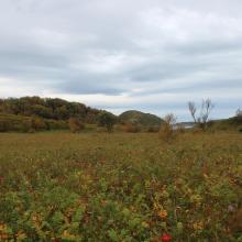
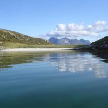
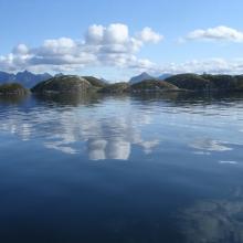
The Site is a marine archipelago whose shallow waters are dotted with some 220 islets, skerries and islands featuring wet meadows, dunes and dune slacks, and brackish marshes in some parts. The climate and topography provide a diverse and varied vegetation cover, which however remains low-lying apart from some deciduous forest on a few of the islands. The Site is one of several important areas along the coast for staging, breeding, moulting and wintering seabirds from large areas of the Arctic. Threatened species such as the black guillemot Cepphus grylle and the otter Lutra lutra have stable breeding populations. Traditionally the Site was used for collection of down and eggs of the breeding common eider Somateria mollissima, but except for the sporadic collection of eggs, this practice has ceased. Other human uses include recreational activities, fishing, and sheep grazing. The archipelago is among the largest coastal conservation areas found in Norway.
Administrative region:
Nordland
- National legal designation:
- Nature Reserve - Karlsøyvær
- Last publication date:06-04-2018
Downloads
Ramsar Information Sheet (RIS)
Archived RIS
Site map
Additional reports and documents
- Site management plan
- Other published literature
