Aulnaie de Aïn Khiar
Aulnaie de Aïn Khiar
- Country:
- Algeria
- Site number:
- 1293
- Area:
- 180.0 ha
- Designation date:
- 04-06-2003
- Coordinates:
- 36°47'57"N 08°18'59"E
Carousel
CarouselMaterials presented on this website, particularly maps and territorial information, are as-is and as-available based on available data and do not imply the expression of any opinion whatsoever on the part of the Secretariat of the Ramsar Convention concerning the legal status of any country, territory, city or area, or of its authorities, or concerning the delimitation of its frontiers or boundaries.
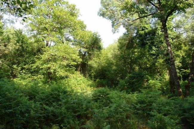
A wetland type characteristic of the El Kala National Park but extremely rare elsewhere in Algeria. L'Aulnaie (alder grove) de Aïn Khiar shelters several tree species, represented by ash Fraxinus spp., alder Alnus glutinosa and poplar Populus spp., whose principal characteristic is its high water demand. Located between the littoral sand bar and the agricultural plain of El Tarf, the Site receives water during winter from the floodplains of the Oued El Kebir, which flows through the region and transforms it into a marshy zone. The forest environment supports the country’s largest population of raptors and large bird species as well as herons and bitterns. Bird surveys have revealed about 41 species. Loss of trees and shrubs to illegal woodcutting and natural causes, as well as pressures from agricultural expansion including illegal water extraction, are seen as the chief potential threats.
- UNESCO Biosphere Reserve
- Parc national - Parc National d'El Kala
- DZ1293RIS_1905_fr.pdf
- DZ1293RISformer.pdf
- DZ1293RISformer_161020.pdf
- DZ1293_map1602.pdf

