Zone Humide du Moyen Niger II
Zone Humide du Moyen Niger II
- Country:
- Niger
- Site number:
- 1383
- Area:
- 38,555.0 ha
- Designation date:
- 26-04-2004
- Coordinates:
- 11°49'13"N 03°30'56"E
Carousel
CarouselMaterials presented on this website, particularly maps and territorial information, are as-is and as-available based on available data and do not imply the expression of any opinion whatsoever on the part of the Secretariat of the Ramsar Convention concerning the legal status of any country, territory, city or area, or of its authorities, or concerning the delimitation of its frontiers or boundaries.
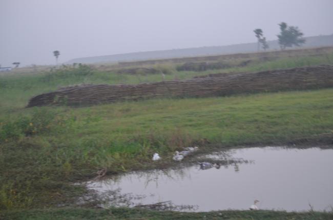
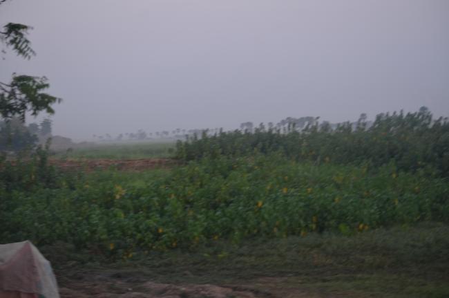
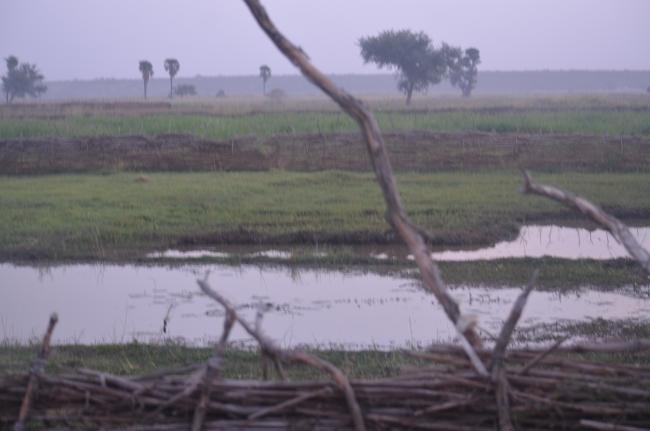
A 25-kilometre stretch of the River Niger along the border with Benin in the south-west of the country, with associated floodplains and pools. The area is extremely important for the presence of hippo grass Echinochloa stagnina, a quality forage plant, and the grass Anthephora nigritana, which provide habitat for thousands of water birds as well as pasturage. The Site also hosts threatened species including the African manatee (Trichechus senegalensis) and the hippopotamus, and the permanent pools provide refuge for several fish species that have disappeared elsewhere along the River. The hydrological regime is characterized by a period of flooding of four or five months, beginning in August with local torrential rains and again in November with floods coming down from upstream. Rich alluvial soils provide agricultural livelihoods; however unsustainable agricultural practices, as well as invasions of Typha australis, are potential threats. The land is largely state-owned but local communities enjoy long-standing usage rights.
- NE1383RIS_1804_fr.pdf
- NE1383RISformer_171211.pdf
- NE1383_map180127.pdf


