Lets'eng-la-Letsie
Lets'eng-la-Letsie
- Country:
- Lesotho
- Site number:
- 1388
- Area:
- 434.0 ha
- Designation date:
- 01-07-2004
- Coordinates:
- 30°19'59"S 28°12'E
Carousel
CarouselMaterials presented on this website, particularly maps and territorial information, are as-is and as-available based on available data and do not imply the expression of any opinion whatsoever on the part of the Secretariat of the Ramsar Convention concerning the legal status of any country, territory, city or area, or of its authorities, or concerning the delimitation of its frontiers or boundaries.
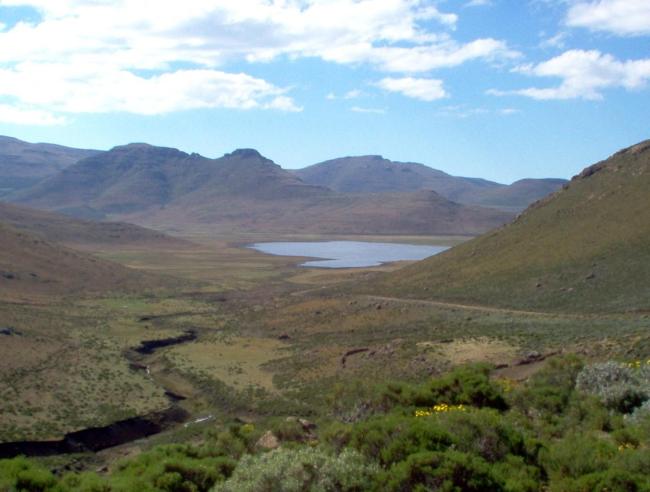
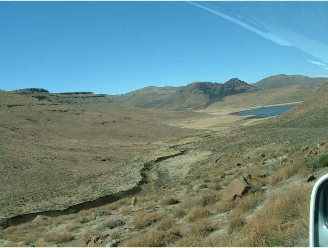
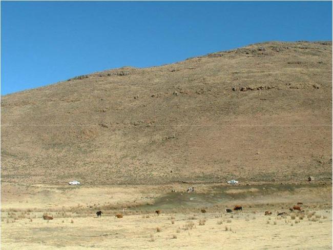
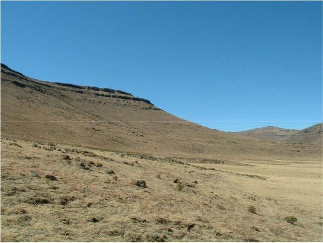
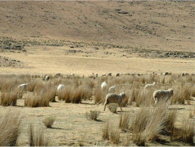
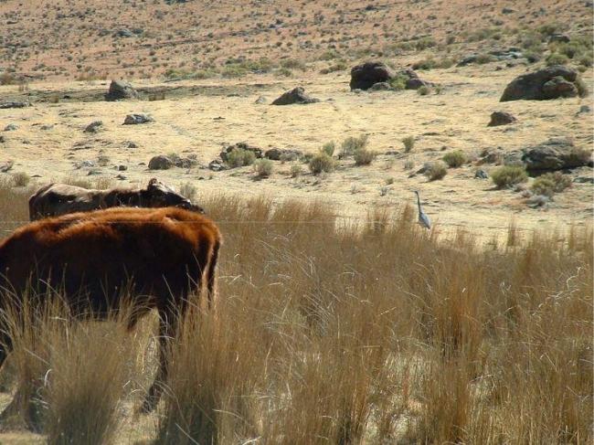
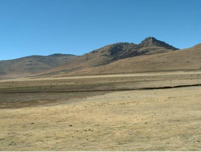
Lets'eng-la-Letsie. 01/07/04; Quthing; 434 ha; 30°20'S 028°12'E. A highland wetland about 200 km southeast of the capital city Maseru, part of the Lets'eng-la-Letsie (not yet gazetted) protected area, which was designated in 2001 as a component of the Conserving Mountain Biodiversity in Southern Lesotho (CMBSL) project. It consists of a human-made lake with a mean depth of about 1 m and its associated catchment area. The main vegetation types are Afromontane and Afroalpine formations that are dominated by grasses and show high biodiversity and endemism levels. A number of vulnerable species occur among the 110 bird species recorded at this site, including the Wattled and Blue Cranes, the Lesser Kestrel and the Bald Ibis. The site is currently used as grazing land and is important for provision of grass for thatching, as a source of water, medicinal plants and wood, and for fishing. Given the free access/open property nature of the site it suffers from overstocking, overgrazing and erosion, as well as overexploitation of its natural resources. No management plan exists as yet for the Ramsar site, although there are plans, which have raised controversy, to fence off the area for the re-introduction of large mammals and development of tourism facilities. Ramsar site no. 1388. Most recent RIS information: 2006.
Administrative region:
Quthing District
National legal designation:
- Maloti Drakensberg Transfrontier Conservation and Development Area
- Protected Area - Lets'eng- la-Letsie Protected Area
- Transboundary Protected Area
Last publication date:
01-01-2006
Ramsar Information Sheet (RIS)
- LS1388RIS.pdf
Site map

